
Search Results
Displaying:
1 - 12 of 12
Agronomic Receptor Evaluation For Direct Soil Contact: Stage 2
Resource
The objective of Stage 2 of the project was to investigate how adverse effects on the growth of alfalfa might be affected by the depth of a contaminant (sodium chloride) in the soil profile. Stage 2...

Douglas Heard
Contact
Fall Supplemental Feeding Increases Population Growth Rate of an Endangered Caribou Herd
Resource
Our results support the recommendation that multiple management actions should be implemented to improve recovery prospects for caribou.

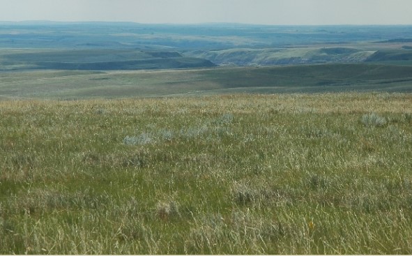
Native Prairie Protocol for Salt-Affected Wellsites Scientific Rationale Document
Resource
There are a large number of oil and gas sites with salts in soil that exceed one or more generic guideline values. The nature of generic guidelines is that, by definition, they do not uniquely...
Reclamation of the Gregg River Mine, Canada
Resource
Reclamation of 1,362 hectare mine site; recent carnivore activity is one indication of the eventual return of a healthy, balanced and sustainable ecosystem to the reclaimed Gregg River mine site.

Risk-based Soil Remediation Guidelines in Coal Mine Closure
Resource
Assessment of the Coleman facility found a range of contaminants exceeding Alberta’s default soil guidelines including benzene, toluene, ethylbenzene, and xylenes (BTEX) and other hydrocarbon compound

Salt-Affected Wellsite Closure Project Background Document
Resource
The current document reports specifically on issues relating to the ecological direct contact exposure pathway (growth and reproduction of plants and soil invertebrates) in native grasslands areas of...

Salt-Affected Wellsite Closure Project Scientific Rationale Document
Resource
The current document is focussed specifically on issues relating to the ecological direct contact exposure pathway (growth and reproduction of plants and soil invertebrates) in native grasslands areas...

Saving Endangered Species Using Adaptive Management
Resource
Adaptive management is a powerful means of learning about complex ecosystems, but is rarely used for recovering endangered species. Here, we demonstrate how it can benefit woodland caribou, which...
The Third Generation of Pan-Canadian Wetland Map at 10 m Resolution Using Multisource Earth Observation Data on Cloud Computing Platform
Resource
Development of the Canadian Wetland Inventory Map (CWIM) has thus far proceeded over two generations, reporting the extent and location of bog, fen, swamp, marsh, and water wetlands across the country...
