
Search Results
Displaying:
1 - 10 of 10
Advances in Wetland Hydrology: The Canadian Contribution Over 75 Years
Resource
Wetlands are an integral part of the Canadian landscape, providing crucial ecohydrological services with globally significant benefits. Over the past 75 years, Canadian scientists have emerged as...

Colin McCarter
Contact
Organization
Position Title
Faculty of Arts and Science, Department of Geography and Department of Biology and Chemistry
Environmental Patterns of Brown Moss- and Sphagnum-Associated Microbial Communities
Resource
Northern peatlands typically develop through succession from fens dominated by the moss family Amblystegiaceae to bogs dominated by the moss genus Sphagnum. How the different plants and abiotic...
Groundwater in Peat and Peatlands
Resource
Peatlands are wetlands with soil comprised of undecomposed remains of plants that accumulate in such a way that both responds to and controls the flux and storage of surface water and groundwater, as...

Peat Swamp Hydrological Connectivity and Runoff Vary by Hydrogeomorphic Setting: Implications for Carbon Storage
Resource
Despite their importance in carbon cycling and catchment runoff dynamics, the hydrology of temperate peat swamps in response to changing hydrometeorological conditions is largely understudied. We...

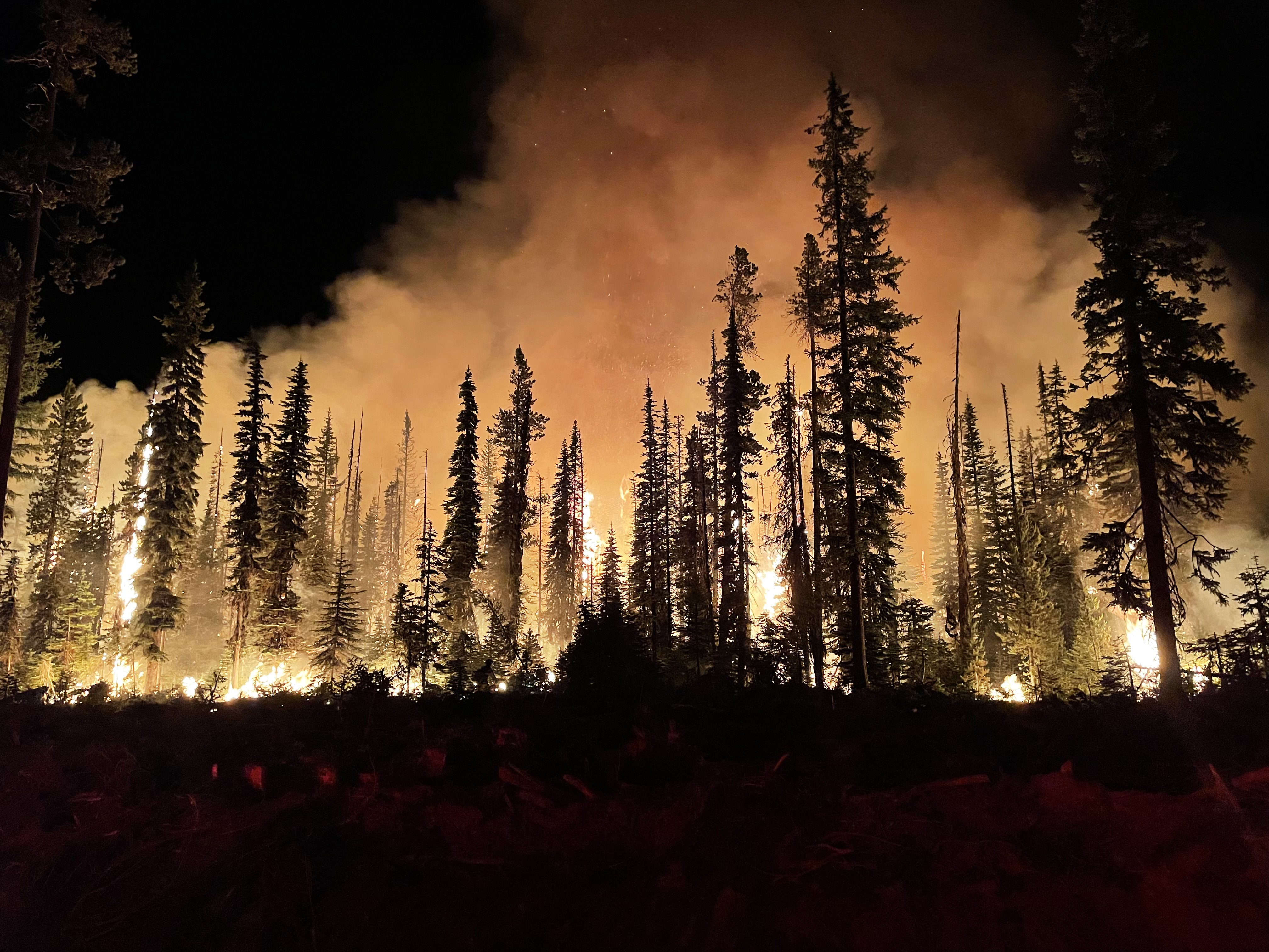
Pollution timebombs: Contaminated wetlands are ticking towards ignition
News
Organization
Wetlands across the globe have long served as natural repositories for humanity’s toxic legacy, absorbing and retaining hundreds to thousands of years’ worth of pollution. These swampy vaults have...
The Boreal-Arctic Wetland and Lake Dataset
Resource
Here we present the Boreal–Arctic Wetland and Lake Dataset (BAWLD), a land cover dataset based on an expert assessment, extrapolated using random forest modelling from available spatial datasets of...
The Third Generation of Pan-Canadian Wetland Map at 10 m Resolution Using Multisource Earth Observation Data on Cloud Computing Platform
Resource
Development of the Canadian Wetland Inventory Map (CWIM) has thus far proceeded over two generations, reporting the extent and location of bog, fen, swamp, marsh, and water wetlands across the country...