
Search Results
Displaying:
1 - 15 of 15
CAN-SAR: A Database of Canadian Species at Risk Information
Resource
Threatened species lists describe the conservation status of species and are key tools used to inform decisions for biodiversity conservation. These lists are rich in information obtained during...

Extending the National Burned Area Composite Time Series of Wildfires in Canada
Resource
This study created a 35-year time series of wildfire burned areas in Canada from 1986 to 2020, using data from satellite imagery and aerial surveys. Wildfires are a major natural disturbance in Canada...
Is Habitat Fragmentation Bad for Biodiversity?
Resource
This resource is available on an external database and may require a paid subscription to access it. It is included on the CCLM to support our goal of capturing and sharing the breadth of all...
Landscape Context is More Important than Wetland Buffers for Farmland Amphibians
Resource
This resource is available on an external database and may require a paid subscription to access it. It is included on the CCLM to support our goal of capturing and sharing the breadth of all...
Network of Wildlife Cameras and Audio Recorders Expanded to Better Monitor Biodiversity
News
Organization
Biodiversity monitoring partners across the NWT are getting a closer look at wildlife as the Government of the Northwest Territories’ Biodiversity Monitoring Program expands. Remote cameras and audio...
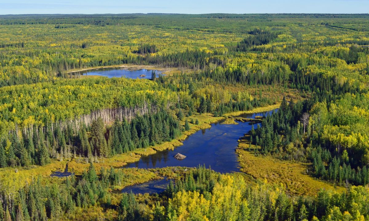
The Multisource Vegetation Inventory (MVI): A Satellite-Based Forest Inventory for the Northwest Territories Taiga Plains
Resource
Wall-to-wall 30 m raster maps of broad forest type, stand height, crown closure, stand volume, total volume, aboveground biomass, and stand age were created for a ~400,000 km2 area, validated with independent data, and generalized into a polygon GIS layer resembling a traditional FI map. The MVI project showed that a reasonably accurate FI map for large, remote, predominantly non-inventoried boreal regions can be obtained at a low cost by combining limited field data with remote sensing data from multiple sources.
The Scale of Effect of Landscape Context Varies with the Species’ Response Variable Measured
Resource
Abstract: Context To detect an effect of landscape context on a species’ response, the landscape variables need to be measured within the appropriate distance from the species’ response, i.e. at the...
The Spatial Scale of a Species’ Response to the Landscape Context Depends on which Biological Response You Measure
Resource
This resource is available on an external database and may require a paid subscription to access it. It is included on the CCLM to support our goal of capturing and sharing the breadth of all...
Theses - Carleton University
Project
Organization:
Theses and Dissertations created by Carleton University students.

When to Monitor and When to Act: Value of Information Theory for Multiple Management Units and Limited Budgets
Resource
Abstract: The question of when to monitor and when to act is fundamental to applied ecology and notoriously difficult to answer. Value of information (VOI) theory holds great promise to help answer...