Land Management Resources
Resource
Author(s)
Jeffrey Ball
Péter Sólymos
Fiona Schmiegelow
Samuel Haché
Jim Schieck
Erin Bayne
Understanding factors that affect the distribution and abundance of species is critical to developing effective management plans for conservation. Our goal was to quantify the distribution and...
Resource
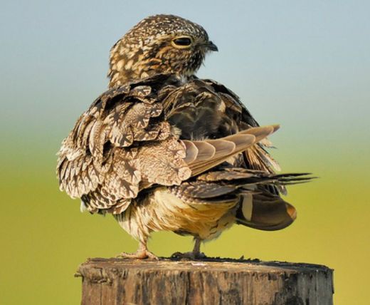
Conservation management is impeded by the lack of baseline data for many non-passerine, cryptic, or nocturnal species that are inadequately sampled by traditional monitoring programs. The recent rise...
Resource
Author(s)
Cameron Nordell
Erin Bayne
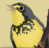
The Rusty Blackbird ( Euphagus carolinus ) was listed as Special Concern on Schedule 1 of the federal Species at Risk Act in March 2009 because of large and longterm declines in population size. The...
Resource
Author(s)
Sarah Ludlow
Carolyn Gaudet
Stephen Davis
Grassland bird populations have declined significantly over the past century, largely due to anthropogenic habitat loss and degradation. It is estimated that approximate 20% of original native...
Resource
Author(s)
Amy Darling
Carol Stefan
Corey De La Mare
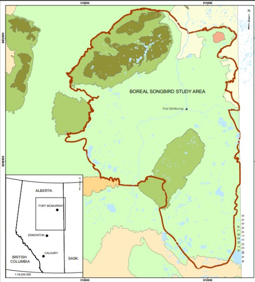
Canada’s boreal forest is important habitat for many North American birds, which play a vital role in the health of forests, and provide ecosystem services. Expanding human development in northern...
Resource
Author(s)
Gordon Stenhouse
Karen Graham
The Foothills Model Forest Grizzly Bear Research Program was initiated in 1998 with the first year of fieldwork beginning in the spring of 1999. The impetus for undertaking this program resulted from...
Resource
Author(s)
Tracy McKay
Gordon Stenhouse
In 2010 and 2011, the Foothills Research Institute Grizzly Bear Program (FRIGBP) received funding from the Alberta Upstream Petroleum Research Fund (AUPRF) and other program partners to investigate...
Resource
Author(s)
Tracy McKay
Karen Graham
Gordon Stenhouse
This report includes results from two years of research investigating grizzly bear response to oil and gas pipelines in the Kakwa region of west-central Alberta. We investigated grizzly bear habitat...
Resource
Author(s)
Tracy McKay
Ellinor Sahlén
Ole-Gunnar Støen
Jon Swenson
Gordon Stenhouse
Oil and gas development is widespread in west – central Alberta, yet little is known about the potential impacts of oil and gas activities on grizzly bear habitat use. Focusing on the impacts of one...
Resource
Author(s)
Terry Larsen
A. Sorensen
C. McClelland
Gordon Stenhouse
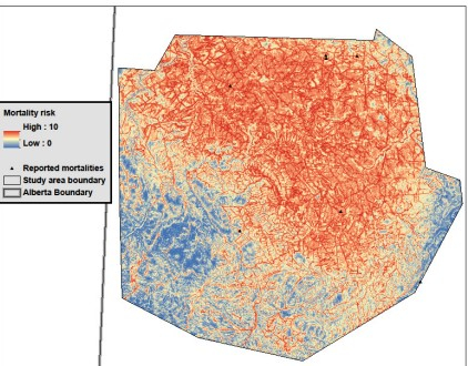
To understand how oil and gas activities and access control measures, particularly gates, influences grizzly bears and their habitats in Alberta, we used multiple data sources including spatial layers...