Land Management Search Results
Resource
Authors
Joanne White
Michael Wulder
Andrés Varhola
Mikko Vastaranta
Nicholas Coops
Bruce Cook
Doug Pitt
Murray Woods
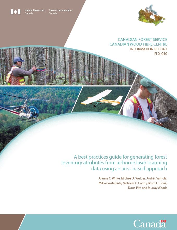
A best practice guide brings together state-of-the-art approaches, methods, and data to provide non-experts more detailed information about complex topics. With this guide, our goal is to inform and...
Resource
Authors
Kishan Sambaraju
Chantal Côté
Invasions of exotic forest insects and pathogens can devastate evolutionarily naïve habitats and could cause irreversible changes to urban and natural ecosystems. Given the ever-increasing volume of...
Resource
Authors
Jesse Tigner
Erin Bayne
Stan Boutin
Resource Date:
January
2014
This resource is available on an external database and may require a paid subscription to access it. It is included on the CCLM to support our goal of capturing and sharing the breadth of all...
Resource
Authors
Troy Sorensen
Philip McLoughlin
Dave Hervieux
Elston Dzus
Jack Nolan
Bob Wynes
Stan Boutin
This resource is available on an external database and may require a paid subscription to access it. It is included on the CCLM to support our goal of capturing and sharing the breadth of all...
Resource
Results of forest health monitoring activities in Alberta, Saskatchewan, Manitoba, and the Northwest Territories are summarized for 1996. These results are based on assessments made on 17 permanent...
Resource
The Galena Hill Ecosystem Map (GHEM) was initially developed to provide information about existing plant communities and their growth conditions to guide upcoming reclamation efforts at the historical...
Resource
Authors
Dominique Boucher
Sylvie Gauthier
Nelson Thiffault
William Marchand
Martin Girardin
Climate change is projected to increase fire severity and frequency in the boreal forest, but it could also directly affect post-fire recruitment processes by impacting seed production, germination...
Resource
Authors
Camile Sothe
Alemu Gonsamo
Joyce Arabian
James Snider
Resource Date:
August
2021
Canada has extensive forests and peatlands that play key roles in global carbon cycle. Canadian soils and peatlands are assumed to store approximately 20% of the world’s soil carbon stock. However...
Resource
Resource Date:
March
2022
In the discontinuous permafrost zone, thermokarst lakes and thermal erosion are widespread and common permafrost thaw-related phenomena. Thermokarst features are indicative of thaw sensitive...
Resource
Can seedlings intended for reforestation be planted anywhere, regardless of the seed source from which they were obtained? The Optisource software was developed to help forest managers answer this...
Resource
Can seedlings intended for reforestation be planted anywhere, regardless of the seed source from which they were obtained? The Optisource software was developed to help forest managers answer this...
Resource
Authors
Wek’èezhìı Renewable Resources Board
A 109-page document on the reasons for decision of the Wek’èezhìı Renewable Resources Board regarding wolf management in the region.
Resource
Authors
Mar Martinez
Gary Borstad
Leslie Brown
Kaan Ersahin
Michael Henley
Monitoring of reclaimed sites is a complex, interdisciplinary undertaking, especially in large, disturbed areas with difficult access. In that context, remote sensing is a unique and valuable tool...
Resource
Authors
Environment and Climate Change Canada
The Woodland Caribou ( Rangifer tarandus caribou), Boreal Population was last assessed by the Committee on the Status of Endangered Wildlife in Canada as Threatened (COSEWIC 2002), and listed under...
Resource
It is generally recognized that plants are genetically adapted to the prevailing climate. Planting stock is often moved across environmental gradients with little knowledge of the ecological risks...
Resource
This thesis investigates the effectiveness of machine learning algorithms for automatic detection of coniferous seedling data along Boreal seismic lines. In order to obtain a survival assessment and...
Resource
Authors
Steven Wilson
Glenn Sutherland
Nicholas Larter
Allicia Kelly
Ashley McLaren
James Hodson
Troy Hegel
Robin Steenweg
Dave Hervieux
Thomas Nudds
Understanding spatial distributions of organisms and the consequences for conservation policy and management decisions remain important challenges. We describe a method for grouping caribou into plausible candidate Local Population Units that may better approximate geographic closure than the existing LPUs.
Resource
Authors
Guillermo Castilla
Ronald Hall
Rob Skakun
Michelle Filiatrault
André Beaudoin
Michael Gartrell
Lisa Smith
Kathleen Groenewegen
Chris Hopkinson
Jurjen van der Sluijs
Resource Date:
February
2022
Wall-to-wall 30 m raster maps of broad forest type, stand height, crown closure, stand volume, total volume, aboveground biomass, and stand age were created for a ~400,000 km2 area, validated with independent data, and generalized into a polygon GIS layer resembling a traditional FI map. The MVI project showed that a reasonably accurate FI map for large, remote, predominantly non-inventoried boreal regions can be obtained at a low cost by combining limited field data with remote sensing data from multiple sources.
Resource
Understanding how populations are structured and how they use natural and anthropogenic spaces is essential for effective wildlife management. A total of 510 barren-ground ( Rangifer tarandus...
Resource
Authors
K.A. Baldwin
Lorna Allen
S. Basquill
K. Chapman
D. Downing
N. Flynn
W. Mackenzie
M. Major
W.J. Meades
D. Meidinger
C. Morneau
J.-P. Saucier
J. Thorpe
Vegetation Zones of Canada: a Biogeoclimatic Perspective maps Canadian geography in relation to regional climate, as indicated by vegetation patterns. Compared to previous similar national-scale...