Wetlands Knowledge Search Results
Resource
Authors
Paul Jefferson
Paul McCaughey
Ken May
Jay Woosaree
Linden McFarlane
The utilization of native grass species for potential biomass feedstocks of the emerging ethanol industry requires more information about their cellulose and hemicellulose concentration. Ten native...
Resource
From 1981 to 1984, nineteen experimental plantations were established on a range of eight typical reforested sectors in seven regions of Quebec. Included in the experiments, which took place during...
Resource
Authors
Wek’èezhìı Renewable Resources Board
A 109-page document on the reasons for decision of the Wek’èezhìı Renewable Resources Board regarding wolf management in the region.
Resource
Authors
Terry Macyk
Martin Fung
Ron Pauls
Syncrude Canada Ltd. produces 200,000 barrels of synthetic crude oil per day from its oil sands surface mining operations located 50 km north of Fort McMurray, Alberta. The three major types of...
Resource
Authors
Terry Macyk
Vern Albush
O. Terry
In 1992 the Alberta Research Council initiated a reclamation study at the Smoky River Coal Limited No. 12 Mine South area located northwest of Grande Cache, Alberta. The objective of the research is...
Resource
Authors
Jay Woosaree
Bruce Anderson
Reclamation in the oil sands in Alberta is a high priority and can be challenging. Suncor Energy is in the process of reclaiming one of its consolidated tailings (CT) ponds (Pond 5). The CT is being...
Resource
Authors
Steven Wilson
Glenn Sutherland
Nicholas Larter
Allicia Kelly
Ashley McLaren
James Hodson
Troy Hegel
Robin Steenweg
Dave Hervieux
Thomas Nudds
Understanding spatial distributions of organisms and the consequences for conservation policy and management decisions remain important challenges. We describe a method for grouping caribou into plausible candidate Local Population Units that may better approximate geographic closure than the existing LPUs.
Resource
Authors
Guillermo Castilla
Ronald Hall
Rob Skakun
Michelle Filiatrault
André Beaudoin
Michael Gartrell
Lisa Smith
Kathleen Groenewegen
Chris Hopkinson
Jurjen van der Sluijs
Resource Date:
February
2022
Wall-to-wall 30 m raster maps of broad forest type, stand height, crown closure, stand volume, total volume, aboveground biomass, and stand age were created for a ~400,000 km2 area, validated with independent data, and generalized into a polygon GIS layer resembling a traditional FI map. The MVI project showed that a reasonably accurate FI map for large, remote, predominantly non-inventoried boreal regions can be obtained at a low cost by combining limited field data with remote sensing data from multiple sources.
Resource
Understanding how populations are structured and how they use natural and anthropogenic spaces is essential for effective wildlife management. A total of 510 barren-ground ( Rangifer tarandus...
Resource
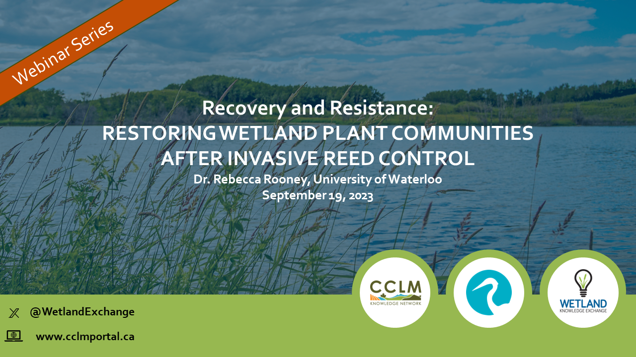
Resource Date:
September
2023
Recovery and Resistance: Restoring the wetland plant community after invasive reed control Presenter: Dr. Rebecca Rooney, University of Waterloo For established invasions, like European common reed...
Resource
Authors
Wetland Knowledge Exchange
Resource Date:
January
2023
The Wetland Knowledge Exchange releases monthly newsletters that highlight new research, publications, news, interesting facts, events and more. In this edition you will learn about: How wetlands...
Resource
The Wetland Knowledge Exchange releases monthly newsletters that highlight new research, publications, news, interesting facts, events and more. In our June issue of the Wetland Knowledge Exchange...
Resource
The Wetland Knowledge Exchange releases monthly newsletters that highlight new research, publications, news, events and more. In this edition you will learn about: Peatland Atlas: A global look at...
Resource
Resource Date:
September
2023
The Wetland Knowledge Exchange releases monthly newsletters that highlight new research, publications, news, events and more. In this edition you will learn about: The outsized role of small ephemeral...
Resource
Authors
Chantel Markle
Henry Gage
Alex Tekatch
Sophie Wilkinson
James Waddington
Boreal peatland ecosystems are generally resilient to low severity wildfire. However, climate change may increase wildfire intensity and frequency, potentially shifting wetlands to less wildfire...
Resource
Authors
Carolyn Gibson
Laura Chasmer
Dan Thompson
William Quinton
Mike Flannigan
David Olefeldt
Resource Date:
August
2018
Permafrost vulnerability to climate change may be underestimated unless effects of wildfire are considered. Here we assess impacts of wildfire on soil thermal regime and rate of thermokarst bog...