
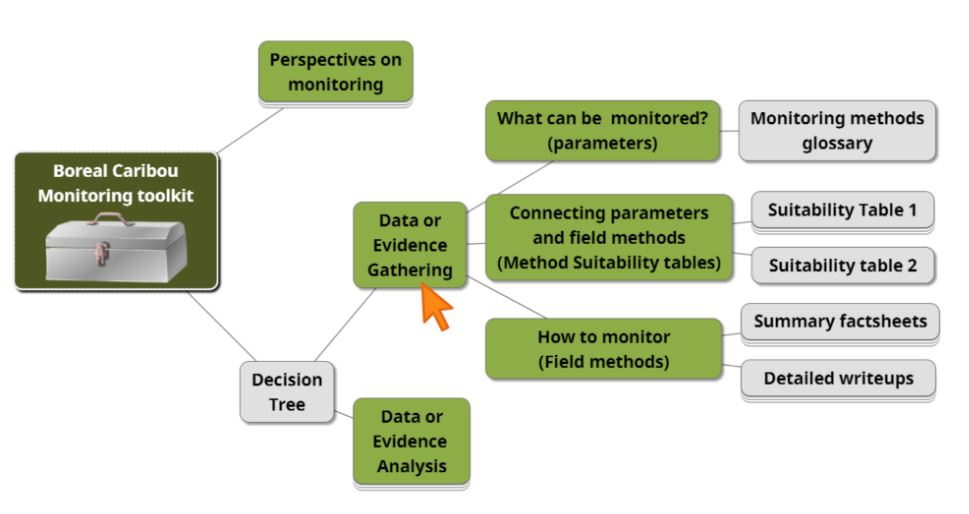
The Data or Evidence Gathering section of the Boreal Caribou Monitoring Toolkit evaluates available monitoring approaches and their suitability for addressing specific monitoring objectives. The tools in this section are intended to inform both the development of emerging monitoring programs as well as the re-evaluation of current monitoring practices. It is important to note that these tools were designed to be used together. The 9 field methods currently explored in the current section of the toolkit are those which were identified in the Perspectives on Monitoring section as being the most commonly used in Canada: Aerial Counts, Occupancy Surveys, Aerial Imagery, Radio-telemetry Collars, Camera Collars, Camera Traps, Fecal Sampling, Local and Harvest Interviews, and Harvester-based Sampling.
Subsection 1: What can be monitored? (Parameters)
- The objectives of the Creating a common language: Monitoring methods bilingual glossary are to document definitions for terms used in the context of boreal caribou monitoring programs in Canada, to identify any national variations in the use/application of terminology, and to present French and English terms alongside each other.
Subsection 2: Connecting parameters and field methods (Method suitability tables)
- Method suitability table 1: Selecting a monitoring method that suits your objectives was created to provide an overview of the boreal caribou population parameters (columns) which can be measured by the different field methods (rows).
- Method suitability table 2: Suitability and requirements of monitoring methods was created to provide an overview of suitability, requirements, and considerations (columns) that are associated with the different field methods (rows).
Subsection 3: How to monitor (Field methods)
Summary Factsheets
- Factsheets were created to summarize the content presented in the Guidance Documents and method suitability tables, in a 1-page visual communication tool. Each of the nine field methods explored in this toolkit has its own factsheet. These are: Aerial Counts, Occupancy Surveys, Aerial Imagery, Radio-telemetry Collars, Camera Collars, Camera Traps, Fecal Sampling, Local and Harvest Interviews, and Harvester-based Sampling
Guidance Documents (or "detailed write-ups")
- Guidance Documents for each field method elaborate on the information presented in the comparative tables and factsheets. The introduction of each Guidance Document addresses the common strengths, weaknesses, and considerations of the field methods contained therein. For example, if a user is interested in reading about Aerial Imagery, they would refer to the Aerial Surveys Guidance Document, reviewing both the introduction and the section titled 'Aerial Imagery'.
- Currently, four Guidance Documents are included in the toolkit. These are Aerial Surveys (which explores the field methods of Aerial Counts, Occupancy Surveys, and Aerial Imagery), Telemetry-based methods (which explores the field methods of Radio Collars, and Camera Collars), Indirect methods (which explores the field methods of Camera Trapping, and Fecal Sampling), and Harvester-based methods (which explores the field methods of Local and Harvest Interviews, and Harvester-based Sampling).
Subsection 4: Multiple Knowledge systems
- This annotated bibliography compiles resources related to community-based monitoring (CBM) and weaving, bridging, braiding, co-producing, and co-representing knowledge. The guidance and lessons provided in these resources can be applied in a boreal caribou monitoring context to improve your outcomes and support the pursuit of reconciliation with Indigenous nations and communities. This bibliography is a joint initiative between the Indigenous Knowledge Circle and the Monitoring Working Group of the NBCKC.