
Search Results
Displaying:
161 - 180 of 515
Establishment and Survival of Ground Cover Plantings on Disturbed Areas in Alberta. Final Report of Phase I
Resource
Research project set up to study the establishment and survival of ground cover vegetation on roadsides, utility rights-of-way, and non-cultivated disturbed areas in Alberta

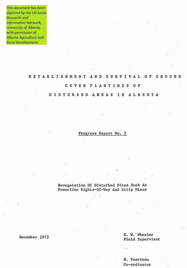
Establishment and Survival of Ground Cover Plantings on Disturbed Areas in Alberta. Progress Report #2. Revegetation of Disturbed Sites. such as Power Line Rights-of-way and Strip Mines
Resource
Powerline rights-of-way were surveyed throughout Alberta to find out what vegetation was growing on them and if reseeding was required. The Whitewood coal mine at Wabamun was surveyed
Establishment and Survival of Ground Cover Plantings on Disturbed Areas in Alberta. Progress Report #3. Revegetation of Roadsides
Resource
General survey of roadside vegetation done to see what species it consisted of. The results were then compared to the Department of Highways and Transport's records of seeding conducted from 1963-1972

Establishment and Survival of Ground Cover Plantings on Disturbed Areas in Alberta. Progress Report #4. Soils
Resource
In this report an attempt has been made to relate the vegetation to a group of soil factors as well as climate and to examine soil texture in more detail and effects on plant communities and species

Establishment and Survival of Ground Cover Plantings on Disturbed Areas in Alberta. Report No. 1 Revegetation of Disturbed Sites such as Pipelines, Cutlines and Stripmining Areas
Resource
Determine which native plant species might be useful in the revegetation of disturbed sites such as pipelines, cutlines and strip mining areas and collect seed for further studies

Establishment and Vegetation Survey of 16 Pinus banksiana-dominated Permanent Plots for the Athabasca Oil Sands Ecological Monitoring Project in 1981
Resource
16 undisturbed, 5-ha, permanent plots dominated by Pinus banksiana (jack pine) were established along an impingement gradient of atmospheric emissions from oil sands processing plants

Establishment Report on the Mildred Lake Native and Cultivated Grass Reclamation Trial
Resource
The trial was established on blended materials consisting of native sand, clayey overburden and peat. Nine native grasses and eight cultivated grass varieties were seeded in June of 1981

Estimate of the Maximum Probable Precipitation for Alberta River Basins
Resource
Point measurements of maximum depth showed that over 50% of the rainstorms occur in June and July, with only a small percentage in April (5.6) and September (10. 1).

Estimating Lichen Biomass in Forests and Peatlands of Northwestern Canada in a Changing Climate
Resource
Climate warming in the North could lead to lichen decline within critical woodland caribou habitat. We used repeat measurements of sixty-nine plots over ten years (2007–2008 and 2017–2018) to assess...

Estimating Ungulate Recruitment and Growth Rates Using Age Ratios
Resource
This resource is available on an external database and may require a paid subscription to access it. It is included on the CCLM to support our goal of capturing and sharing the breadth of all...

Evaluation, Analysis, and Assessment of Snowpack and Precipitation Data from a Monitoring Network in the AOSERP Study Area
Resource
Since the determination of the environmental impact of two major pollution sources on precipitation quality was a primary project objective, poor collection efficiencies did not satisfy the objective

Evaluation of the Baseline Hydrometric and Water Quality Networks in the AOSERP Study Area
Resource
Objective to evaluate the streamflow, suspended sediment, lake level, and water quality networks in the AOSERP study area so as to provide the basis for continuation and/or redirection.

Evaluation of Trees and Shrubs for Oil Sands Reclamation: Field Trial Results
Resource
There were few significant differences among provenances for any of the native species. This suggests that genotypic differences were small among the populations tested.

Expansion of Kitaskino Nuwenëné Wildland Provincial Park contributes to the largest protected area of boreal forest in the world
News
Organization
A recent expansion of northern Alberta’s Kitaskino Nuwenëné Wildland Provincial Park adjacent to Birch River Wildland Provincial Park and Wood Buffalo National Park significantly increases what...

Experimental Design for Estimating White-Tailed Deer Occupancy, Density, and Habitat Selection in Alberta’s Boreal Forest
Resource
In this year we analyzed the study landscape using GIS, reclassified AVI data into deer habitat categories, and created the experimental design for sampling deer occupancy using remote cameras. We...

Fall Fisheries Investigations in the Athabasca and Clearwater Rivers Upstream of Fort McMurray: Volume I
Resource
The major emphasis of these studies was to delineate actual and potential spawning areas for lake whitefish in the Athabasca and Clearwater rivers.

First Report on the Implementation of the Section 11 Agreement for the Conservation and Recovery of the Woodland Caribou in Alberta
Resource
In October 2020, Alberta and Canada signed the Agreement for the Conservation and Recovery of the Woodland Caribou in Alberta to facilitate woodland caribou recovery in Alberta. Alberta is committed...
Fisheries and Aquatic Habitat Investigations in the Mackay River Watershed of Northeastern Alberta
Resource
General objective of this study was to describe the baseline states of the fish component of the MacKay River watershed, the largest basin on the west side of the Athabasca River

Fisheries and Habitat Investigations of Tributary Streams in the Southern Portion of the AOSERP Study Area: Volume I: Summary and Conclusions
Resource
Baseline states and aquatic habitats of major components of aquatic ecosystems in the southern portion of the AOSERP study area. Quantitative estimate of biological significance to the Athabasca River
