
Search Results
Displaying:
1 - 20 of 27
Conservation Social Science: Understanding People, Conserving Biodiversity
Resource
DESCRIPTION Groundbreaking book that examines the essential contribution of the social sciences to understanding and conserving biodiversity across the globe Authored by leading scholars at the nexus...

Global Peatlands Assessment: The State of the World’s Peatlands
Resource
Peatlands are unique and rare ecosystems that, despite only covering around 3-4% of the planet’s land surface, they contain up to one-third of the world’s soil carbon, which is twice the amount of...

Land Use Planning: Global Land Outlook Working Paper
Resource
This brief presents evidence of land use planning, spatial planning, territorial (or regional) planning, and ecosystem-based or environmental land use planning as tools that can strengthen land governance, improve economic opportunities based on sustainable management of land resources, and develop land use options that reconcile conservation and development objectives.

Near-surface Controls on Peatland Hydrology: Implications for Rapid Disturbance Adaptation and Enhanced Resilience to Disturbance
Resource
Northern peatlands faced compounding disturbances that transformed such critical ecosystems from long-term carbon sinks into carbon sources. Considerable investment is therefore directed for restoring...

Podcast - Shift talks Sacred Science with Alvin First Rider, Brett Purdy, and Emily Herdman
Resource
Alvin First Rider speaks about his nation's use western science alongside Indigenous Knowledge to bring buffalo back to their historical plains.

Sacred Science Video Series
Project
Organization:
Bringing together Indigenous knowledge and western science creates opportunities for new solutions to environmental challenges, including issues that are important to Indigenous People. The Sacred...
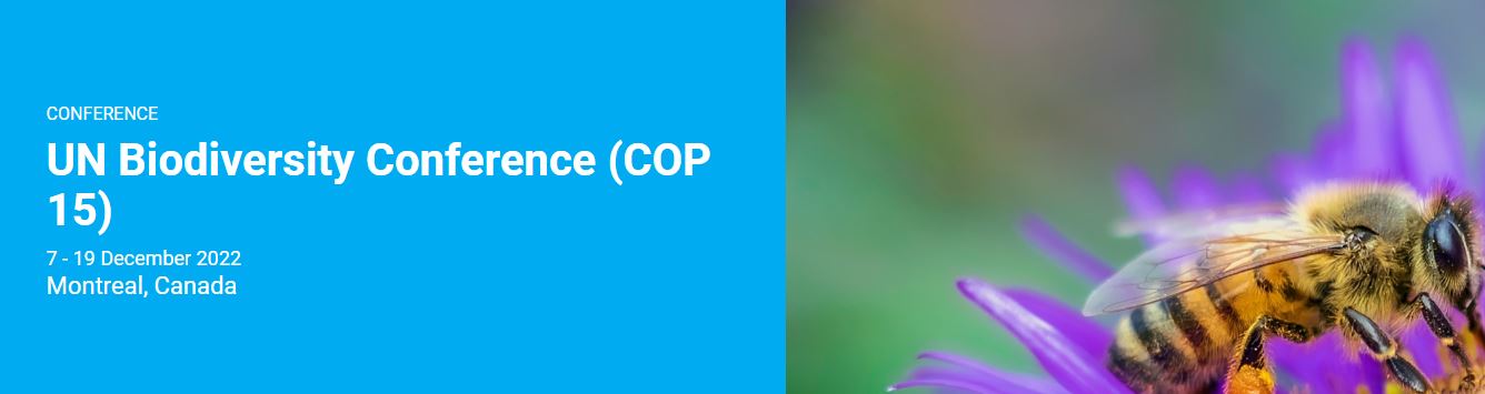
UN Biodiversity Conference (COP15)
Event
Event Date and Time
December 7th, 2022 at 8:00am to December 19th, 2022 at 5:00pm
Montreal, QC
Organization
Despite on-going efforts, biodiversity is deteriorating worldwide and this decline is projected to worsen with business-as-usual scenarios. The UN Biodiversity Conference will convene governments from...
Video - Assessing Cumulative Ecological Effects: The Changing Management Landscape
Resource
Jim Schieck discusses how cumulative effects are currently being assessed in Alberta.

Video - Assessment of forest attributes using airborne and terrestrial LiDAR
Resource
This presentation discusses the different ways that LiDAR data can be effectively used in forestry management applications.

Video - Blood Tribe Buffalo Restoration Project
Resource
Members of the Káínawa – or Blood Tribe – are applying training in western science, alongside their Indigenous Knowledge, to bring buffalo back to their historical habitat in southern Alberta, the...

Video - Building a Sustainable Alberta Through Deployment of LiDAR Technologies: Reflections from an SRD perspective
Resource
Barry White discusses the ways LiDAR is being used by departments within the government of Alberta.

Video - Caribou Conservation Project
Resource
The Denesųłiné of Cold Lake First Nations (CLFN) are applying both their Indigenous Knowledge and expertise in western science to develop and implement diverse caribou conservation strategies in...

Video - Enhanced Fuel Mapping for Wildfire Management
Resource
This presentation discusses ways that LiDAR data can be used in forestry management, including for mapping mountain pine beetle infestations.

Video - Feature Extraction from Multisensor Airborne Data: Monitoring of large-scaled industrial activity on the natural landscape
Resource
This presentation discusses using airborne LiDAR data on monitoring projects with the federal and provincial government. Data collection and data extraction are reviewed.

Video - From Point Cloud to Supporting Decisions: Making use of your LiDAR data
Resource
This presentation discusses how to use LiDAR data, in particular for forestry, but also for other government and industry applications.

Video - High Resolution Inventories Using LiDAR: Challenges and opportunities
Resource
This presentation discuss a pilot project done with Spray Lakes Sawmill FMA related to doing plot inventories using LiDAR.

Video - It’s Time for Wetlands Restoration
Resource
On the occasion of Word Wetlands Day on 2 February 2023, the G20 Global Land Initiative Coordination Office in partnership with the Ramsar Convention on Wetlands, UN Decade for Ecosystem Restoration...

Video - LiDAR Data Capture and Analysis Standards
Resource
This presentation discusses some of the issues with data collection and analysis that could lead users to require standards.

Video - LiDAR: Demonstrating value to Alberta Parks through 101 uses
Resource
This presentation discusses how Alberta Parks uses LiDAR data to inform decision-making in their land management activities.
