
Search Results
Displaying:
1 - 4 of 4
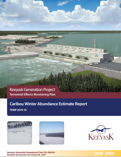
Keeyask Generation Project: Terrestrial Effects Monitoring Plan - Caribou Winter Abundance Estimate Report
Resource
This survey was designed as part of the Keeyask Terrestrial Effects Monitoring Plan (TEMP). The objective of this survey was to evaluate how the Project may be affecting patterns and trends in caribou...
The Third Generation of Pan-Canadian Wetland Map at 10 m Resolution Using Multisource Earth Observation Data on Cloud Computing Platform
Resource
Development of the Canadian Wetland Inventory Map (CWIM) has thus far proceeded over two generations, reporting the extent and location of bog, fen, swamp, marsh, and water wetlands across the country...

‘We’re writing our own story’: four Manitoba First Nations sign historic conservation agreement
News
Organization
The pristine 50,000-square-kilometre Seal River Watershed region would be the province’s first federally recognized Indigenous protected area. Full text of this article can be accessed here: Four...
