
Search Results
Displaying:
1 - 9 of 9
Canadian Wetland Inventory Activities in the Prairie and Boreal Regions of Canada
Event
Event Date and Time
August 30th, 2023 at 2:00pm EST to August 30th, 2023 at 3:00pm EST
Contact
Organization
The Wetland Mapping Consortium (WMC), founded in 2008, is an interdisciplinary group of wetland scientists and managers interested in mapping and monitoring wetlands with remotely sensed images and/or...

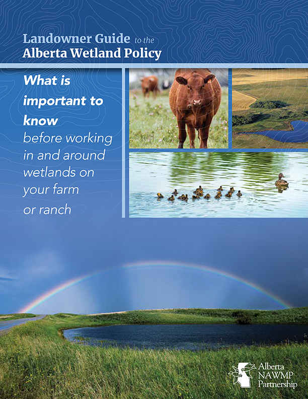
Landowner Guide to the Alberta Wetland Policy
Resource
The Landowner Guide to the Alberta Wetland Policy helps landowners understand their rights and responsibilities when working in and around wetlands on their farm or ranch under Alberta’s Wetland...

Learning from our Elders - Northern Indigenous perspectives on climate and environmental change
Project
Contact
Organization:
Project Description: The project was a short-term research exchange between Indigenous communities and scholars in Canada and Sweden, comparing Elder's perspectives on changing environments and...

Learning from our Elders: Aboriginal Perspectives on Climate Change and Reindeer/Caribou Habitat in the Circumboreal Forest
Resource
Excerpt from resource description: The northernmost regions in the world are projected to suffer the most severe consequences of climate change. Natural resource-based communities and Indigenous...

NEW GUIDE: Alberta NAWMP releases the Landowner Guide to the Alberta Wetland Policy
News
Organization
The Landowner Guide to the Alberta Wetland Policy helps landowners understand their rights and responsibilities when working in and around wetlands on their farm or ranch under Alberta’s Wetland...
Plant Functional Traits as Indicator of the Ecological Condition of Wetlands in the Grassland and Parkland of Alberta, Canada
Resource
The analysis of functional trait-habitat relationships has been used to measure the degree to which environmental factors influence the assembly of ecological communities. In the Parkland and...

Recent Climate Change has Driven Divergent Hydrological Shifts in High-latitude Peatlands
Resource
High-latitude peatlands are changing rapidly in response to climate change, including permafrost thaw. Here, we reconstruct hydrological conditions since the seventeenth century using testate amoeba...
Using GIS and Remote Sensing to Monitor Industrial Impacts to Archaeological Sites in the Athabasca Oil Sands of Alberta
Resource
The Athabasca Oil Sands (AOS) region of Alberta has one of the densest accumulations of known archaeological sites, and possibly the most archaeological sites at risk, in the country. Expanding...
