
Search Results
Displaying:
1 - 16 of 16
4-day SST Version 3.0 Certification Course
Event
Event Date and Time
April 9th, 2024 at 9:00am MST to April 12th, 2024 at 4:30pm MST
This 4 day course includes over three days of instruction on theory, software tool operation, and case studies, with the exam on the fourth day (four-hour comprehensive exam). Students achieving a...
Course: Subsoil Salinity Tool (SST) Version 3.0 - 2 Day Update
Event
Event Date and Time
April 19th, 2022 at 8:00am EST to April 20th, 2022 at 4:30pm EST
Calgary, AB
This 2 day update course provides a description of changes to chloride guideline calculations from the previous version (v2.5.3), and also describes the SAR and sodium guideline calculations introduced into Version 3.0

Course: Subsoil Salinity Tool (SST) Version 3.0 - 4-day Certification
Event
Event Date and Time
April 26th, 2022 at 8:00am MST to April 29th, 2022 at 4:30pm MST
Organization
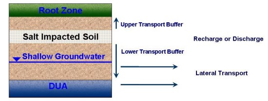
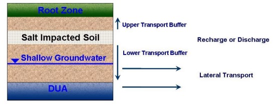
The Alberta Environment and Parks (AEP) Subsoil Salinity Tool (SST) Version 3.0 is a software tool used to generate Tier 2A and 2B Subsoil Remediation Guidelines (SRGs) for chloride, SAR and sodium...
Living in a Burned Landscape: Woodland Caribou Use of Postfire Residual Patches for Calving in a High Fire - Low Anthropogenic Boreal Shield Ecozone
Resource
We tested [the potential habitat value of postfire residuals] using 2 years of GPS data obtained from 56 female caribou to identify calving site selection. 79 calving events were identified from...

Living in a Burned Landscape: Woodland Caribou use of Postfire Residual Patches for Calving in a High Fire- low Anthropogenic Boreal Shield Ecozone
Project
Contact
Organization:
Project Description: Monitoring of calving events using 2 years of GPS data from 56 collared female caribou to identify calving site selection. Project Outcomes or Intended Outcomes: Providing insight...

Population and Habitat Ecology of Boreal Caribou and their Predators in the Saskatchewan Boreal Shield
Project
Contact
Organization:
Research completed by the University of Saskatchewan in collaboration with a consortium of industry and government partners. Research included a multi-faceted program on the population dynamics and...
Population and Habitat Ecology of Boreal Caribou and their Predators in the Saskatchewan Boreal Shield
Resource
Research completed by the University of Saskatchewan in collaboration with a consortium of industry and government partners. Research included a multi-faceted program on the population dynamics and...

Recovery of Terrestrial Lichens Following Wildfire in the Boreal Shield of Saskatchewan: Early Seral Forage Availability for Woodland Caribou (Rangifer tarandus caribou)
Project
Contact
Organization:
Project DescriptionInvestigation into short-term and long-term progression of terrestrial forage lichen cover following wildfire in the Boreal Shield of northern Saskatchewan. Project Outcomes or...
Recovery of Terrestrial Lichens Following Wildfire in the Boreal Shield of Saskatchewan: Early Seral Forage Availability for Woodland Caribou (Rangifer tarandus caribou)
Resource
In boreal forests, wildfire is a dominant ecological process that affects the distribution and abundance of terrestrial lichens, the principal winter food for Woodland Caribou ( Rangifer tarandus...
SST Version 3.0 Certification Course
Event
Event Date and Time
September 12th, 2023 at 8:00am MST to September 15th, 2023 at 4:30pm MST
Organization
Equilibrium Environmental will present a full 4-day online SST Version 3.0 certification course in September. It is not mandatory for practitioners who are already certified in a previous version of...
Subsoil Salinity Tool (SST) Version 3.0 Course
Event
Event Date and Time
April 18th, 2023 at 8:00am MST to April 21st, 2023 at 4:30pm MST
Organization
The Alberta Environment and Parks (AEP) Subsoil Salinity Tool (SST) Version 3.0 is a software tool used to generate Tier 2A and 2B Subsoil Remediation Guidelines (SRGs) for chloride, SAR and sodium...
The Third Generation of Pan-Canadian Wetland Map at 10 m Resolution Using Multisource Earth Observation Data on Cloud Computing Platform
Resource
Development of the Canadian Wetland Inventory Map (CWIM) has thus far proceeded over two generations, reporting the extent and location of bog, fen, swamp, marsh, and water wetlands across the country...

Using Landsat Imagery to Backcast Fire and Post-fire Residuals in the Boreal Shield of Saskatchewan: Implications for Woodland Caribou Management
Project
Contact
Organization:
Project DescriptionMapping of fire from 1988-2013 using the differenced Normalized Burn Ratio analysis of Landsat Thematic mapper and Operational Land Imager. Project Outcomes or Intended OutcomesFor...
Using Landsat Imagery to Backcast Fire and Post-fire Residuals in the Boreal Shield of Saskatchewan: Implications for Woodland Caribou Management
Resource
This resource is available on an external database and may require a paid subscription to access it. It is included on the CCLM to support our goal of capturing and sharing the breadth of all...