
Search Results
Displaying:
1 - 9 of 9
Biogeochemical Response to Vegetation and Hydrologic Change in an Alaskan Boreal Fen Ecosystem
Resource
Boreal peatlands store approximately one third of the earth’s terrestrial carbon, locked away in currently waterlogged and frozen conditions. Peatlands of boreal and arctic ecosystems are affected...

Evaluation of Approaches to Depicting First Nations, Inupiat and Inuvialuit Environmental Information in GIS Format: Options for the Handling of Spatial Information in the Arctic Borderlands Ecological Knowledge Co-Op Database
Resource
Abstract As the pace of climate change continues to accelerate in the North, traditional environmental knowledge systems are increasingly recognized by researchers, land use planners, government...

From Felt Tip to Technology: The Challenges of Representing Traditional Knowledge in a GIS Platform to Create a Knowledge Surface
Resource
Abstract Traditional knowledge (TK) has been the keystone to survival in the Arctic for thousands of years. Caribou are integral to the society, health and culture of the Inuit, the Indigenous peoples...
Peat Loss Collocates with a Threshold in Plant–Mycorrhizal Associations in Drained Peatlands Encroached by Trees
Resource
Drainage-induced encroachment by trees may have major effects on the carbon balance of northern peatlands, and responses of microbial communities are likely to play a central mechanistic role. We...

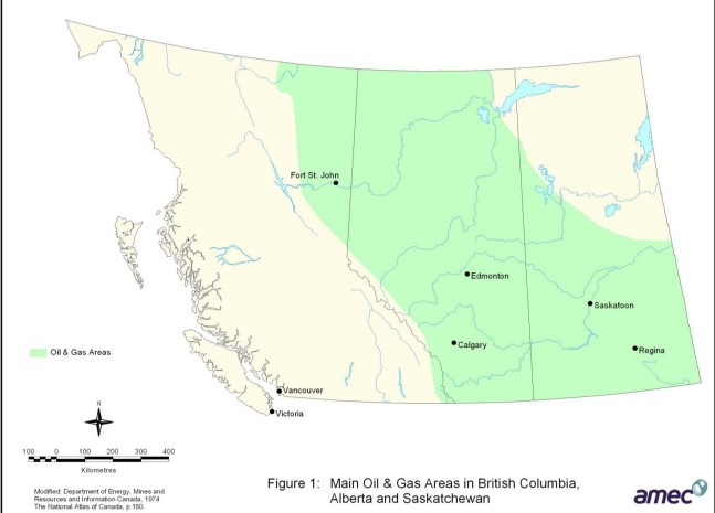
Review of Revegetation Practices for Oil and Gas Disturbances in Western Canada
Resource
Various methods have been developed and used to revegetate sites disturbed by oil and gas activities in Western Canada. Considerable information describing these methods and their effectiveness exists...
The Alberta Oil Sands
Resource
Overview of the oil sands, current commercial developments, experimental work, an overview of Fort McMurray and the role of government agencies in development and management of oil sands.

The Third Generation of Pan-Canadian Wetland Map at 10 m Resolution Using Multisource Earth Observation Data on Cloud Computing Platform
Resource
Development of the Canadian Wetland Inventory Map (CWIM) has thus far proceeded over two generations, reporting the extent and location of bog, fen, swamp, marsh, and water wetlands across the country...