
Search Results
Displaying:
1 - 8 of 8
Continental Synchrony and Local Responses: Climatic Effects on Spatiotemporal Patterns of Calving in a Social Ungulate
Resource
Warming temperatures and advancing spring are affecting annual snow and ice cycles, as well as plant phenology, across the Arctic and boreal regions. These changes may be linked to observed population...

Factors Contributing to the Cultural and Spatial Variability of Landscape Burning by Native Peoples of Interior Alaska
Resource
This article analyzes the geographical extent to which native peoples of Interior Alaska used fire to modify the landscape at the time of European contact. Although wildfire has been central to the...
Integrating Coastal Vulnerability and Community-Based Subsistence Resource Mapping in Northwest Alaska
Resource
This resource is available on an external database and may require a paid subscription to access it. It is included on the CCLM to support our goal of capturing and sharing the breadth of all...
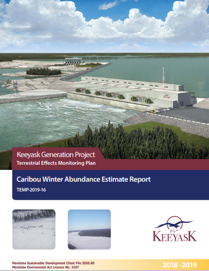
Keeyask Generation Project: Terrestrial Effects Monitoring Plan - Caribou Winter Abundance Estimate Report
Resource
This survey was designed as part of the Keeyask Terrestrial Effects Monitoring Plan (TEMP). The objective of this survey was to evaluate how the Project may be affecting patterns and trends in caribou...
Large Stocks of Peatland Carbon and Nitrogen are Vulnerable to Permafrost Thaw
Resource
Northern peatlands have accumulated large stocks of organic carbon (C) and nitrogen (N), but their spatial distribution and vulnerability to climate warming remain uncertain. Here, we used machine...

Microtopography Matters: Belowground CH4 Cycling Regulated by Differing Microbial Processes in Peatland Hummocks and Lawns
Resource
This resource is available on an external database and may require a paid subscription to access it. It is included on the CCLM to support our goal of capturing and sharing the breadth of all...

The Third Generation of Pan-Canadian Wetland Map at 10 m Resolution Using Multisource Earth Observation Data on Cloud Computing Platform
Resource
Development of the Canadian Wetland Inventory Map (CWIM) has thus far proceeded over two generations, reporting the extent and location of bog, fen, swamp, marsh, and water wetlands across the country...