
Search Results
Displaying:
1 - 10 of 10
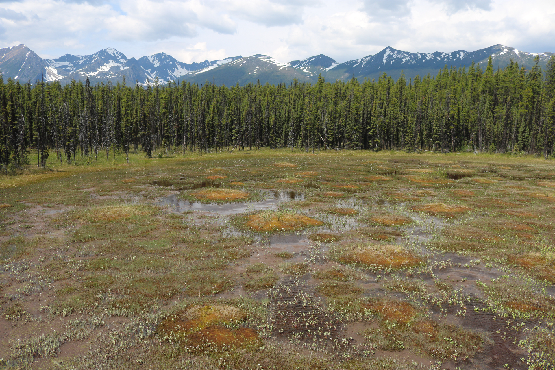
A Policy for the Stewardship of Yukon’s Wetlands
Resource
There is a need to define a common approach to wetland stewardship in the Yukon. The Policy for the stewardship of Yukon’s wetlands (“the policy”) represents the Government of Yukon’s approach to...

A Policy for the Stewardship of Yukon’s Wetlands Released
News
Organization
On January 10, 2023, Minister Nils Clark and Minister John Streicker announced the release of A Policy for the Stewardship of Yukon’s Wetlands, the territory’s first ever wetlands policy. Wetlands are...
Biogeochemical Response to Vegetation and Hydrologic Change in an Alaskan Boreal Fen Ecosystem
Resource
Boreal peatlands store approximately one third of the earth’s terrestrial carbon, locked away in currently waterlogged and frozen conditions. Peatlands of boreal and arctic ecosystems are affected...

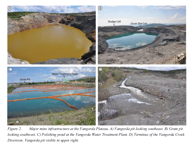
Implementation of Contaminated Water Management System Upgrades to Allow for Dewatering of Two Open Pits at the Vangorda Plateau, Faro Mine Complex, Yukon
Resource
The Vangorda Plateau at the Faro Mine Complex contains two open pits that, starting in 2013, will both require dewatering. Since mine abandonment in 1998, water levels in Vangorda pit have been...
Peat Loss Collocates with a Threshold in Plant–Mycorrhizal Associations in Drained Peatlands Encroached by Trees
Resource
Drainage-induced encroachment by trees may have major effects on the carbon balance of northern peatlands, and responses of microbial communities are likely to play a central mechanistic role. We...

The Extent and Magnitude of Edge Effects on Woody Vegetation in Road-bisected Treed Peatlands in Boreal Alberta, Canada
Resource
This resource is available on an external database and may require a paid subscription to access it. It is included on the CCLM to support our goal of capturing and sharing the breadth of all...
The Third Generation of Pan-Canadian Wetland Map at 10 m Resolution Using Multisource Earth Observation Data on Cloud Computing Platform
Resource
Development of the Canadian Wetland Inventory Map (CWIM) has thus far proceeded over two generations, reporting the extent and location of bog, fen, swamp, marsh, and water wetlands across the country...