Observation of Arctic Island Barren-ground Caribou (Rangifer tarandus groenlandicus) Migratory Movement Delay Due to Human Induced Sea-ice Breaking
Resource
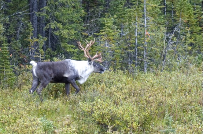
The seasonal migration of the Dolphin and Union caribou ( Rangifer tarandus groenlandicus) herd between Victoria Island and the mainland (Nunavut/Northwest Territories, Canada) relies on the formation...