
Search Results
Displaying:
1 - 11 of 11
Biogeochemical Response to Vegetation and Hydrologic Change in an Alaskan Boreal Fen Ecosystem
Resource
Boreal peatlands store approximately one third of the earth’s terrestrial carbon, locked away in currently waterlogged and frozen conditions. Peatlands of boreal and arctic ecosystems are affected...

COSIA In-Situ Oil Sands Shared Practices for Working in and Around Wetlands
Resource
This report compiles a toolbox of shared practices currently in use by COSIA companies, or which have been used but were found to be unsuccessful.
EMEND for Schools: 360 Video and Teaching Resources
Resource
The Emend for Schools: 360° Video EMEND Tour Teachers Resource is a full lesson plan and 360 immersive and interactive video teaching tool, including a teacher lesson plan and student workbook aligned...

Peat Loss Collocates with a Threshold in Plant–Mycorrhizal Associations in Drained Peatlands Encroached by Trees
Resource
Drainage-induced encroachment by trees may have major effects on the carbon balance of northern peatlands, and responses of microbial communities are likely to play a central mechanistic role. We...

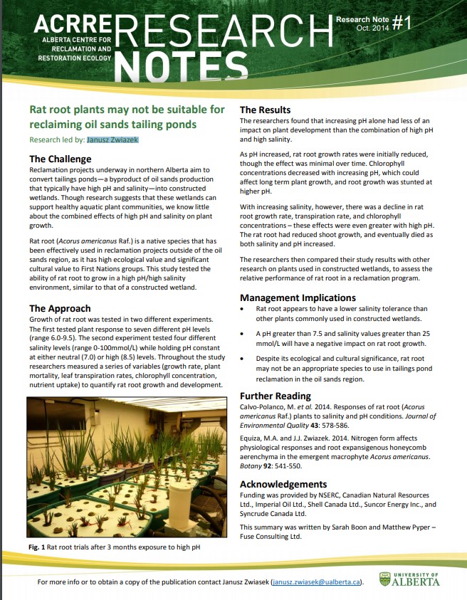
Rat Root Plants May Not be Suitable for Reclaiming Oil Sands Tailing Ponds
Resource
This study tested the ability of rat root to grow in a high pH/high salinity environment, similar to that of a constructed oil sands tailings pond wetland.
Seismic Lines in the Boreal and Arctic Ecosystems of North America: Environmental Impacts, Challenges, and Opportunities
Resource
The oil and gas industry has grown significantly throughout the boreal and arctic ecosystems of North America. A major feature of the ecological footprint of oil and gas exploration is seismic lines...
Temporary Drilling Pads From Oil Sands Exploration Require Microtopography for Restoration
Resource
Differences in microtopography were associated with differences in plant species richness and composition between OSE pads and the undisturbed sites.

The Third Generation of Pan-Canadian Wetland Map at 10 m Resolution Using Multisource Earth Observation Data on Cloud Computing Platform
Resource
Development of the Canadian Wetland Inventory Map (CWIM) has thus far proceeded over two generations, reporting the extent and location of bog, fen, swamp, marsh, and water wetlands across the country...