Land Management Search Results
Resource
Authors
National Tree Seed Centre
This webinar presented by the National Tree Seed Centre explains how to collect seeds from berry producing plants species. NTSC staff demonstrate protocols for handling and processing berries to...
Resource
Authors
National Tree Seed Centre
Resource Date:
April
2022
This webinar presented by the National Tree Seed Centre focuses on tree and shrub species at risk and how to properly and effectively collect and store their seeds for maximum reforestation potential...
Resource
Authors
National Tree Seed Centre
This webinar presented by the National Tree Seed Centre teaches the skills and practices needed for collecting seeds from tree species which produce seeds in the spring. NTSC staff discuss maples...
Resource
This report provides the details of the construction and application of a set of population and harvest models for boreal caribou in two Wildlife Management Zones and six other areas of interest in...
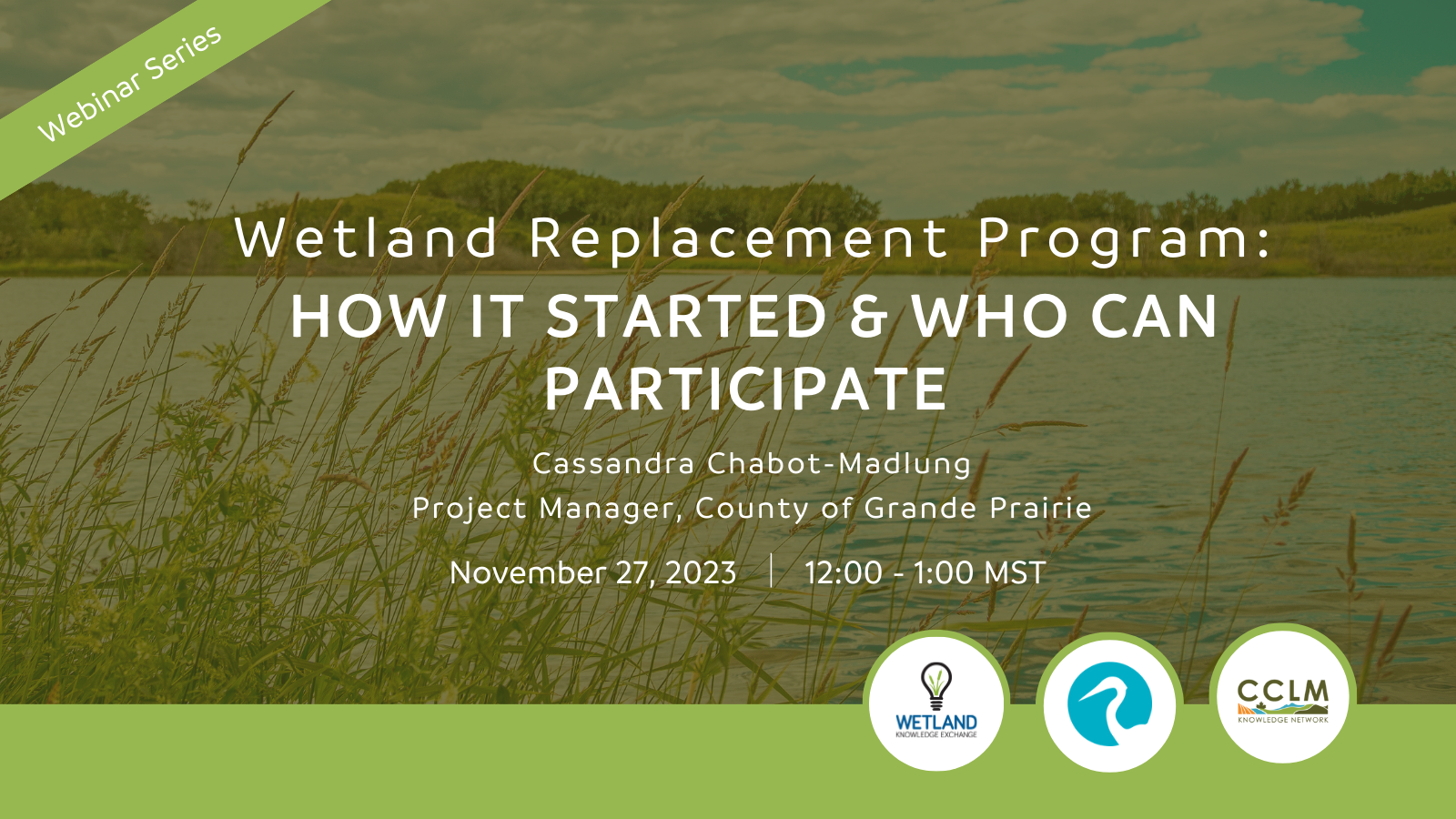
Resource
Authors
Wetland Knowledge Exchange
Resource Date:
November
2023
Cassandra Chabot-Madlung, County of Grande Prairie presents - Wetland Replacement Program: How it Started & Who Can Participate This is a Municipal viewpoint of Alberta Environment and Protected Areas...
Resource
Resource Date:
September
2017
Rapid landscape alteration associated with human activity is currently challenging the evolved dynamical stability of many predator–prey systems by forcing species to behaviourally respond to novel...
Resource
Resource Date:
September
2023
Although peatlands cover only 3% of the world's land, they store about twice as much carbon as in the biomass of all the world's forests combined. Thus, they are incredibly important especially for...
Resource
Authors
Peatland Ecology Research Group
Schedule and abstracts from the 24th annual Symposium of the Peatland Ecology Research Group.
Resource
Authors
Christine Kuntzemann
Ellen Whitman
Diana Stralberg
Marc-André Parisien
Dan Thompson
Scott Nielsen
Resource Date:
February
2023
Abstract In the boreal forests of North America, large wildfires often leave residual patches of unburned vegetation, termed fire refugia, which can affect post-fire ecosystem processes. Although...
Resource
Authors
Lorna Harris
David Olefeldt
Nicolas Pelletier
Christian Blodau
Klaus-Holger Knorr
Julie Talbot
Liam Heffernan
Merritt Turetsky
Resource Date:
August
2023
Rapid, ongoing permafrost thaw of peatlands in the discontinuous permafrost zone is exposing a globally significant store of soil carbon (C) to microbial processes. Mineralization and release of this...
Resource
Authors
Mélina Guêné Nanchen
Marie-Claire LeBlanc
Line Rochefort
Resource Date:
October
2021
Fire plays a major role in structuring and the functioning of boreal ecosystems. As peatlands are important components of boreal forests, the impact of fire upon these wetter ecosystems is...
Resource
Authors
Conference of Management Authorities
The purpose of this recovery strategy is to provide an action-oriented planning tool that identifies how the conservation and recovery of boreal caribou ( Rangifer tarandus caribou, woodland caribou...
Resource
Authors
Craig DeMars
Greg Breed
Jonathan Potts
Stan Boutin
This resource is available on an external database and may require a paid subscription to access it. It is included on the CCLM to support our goal of capturing and sharing the breadth of all...
Resource
Authors
Craig DeMars
Kendal Benesh
The boreal ecotype of woodland caribou ( Rangifer tarandus caribou) is provincially Red-listed in British Columbia and federally listed as Threatened. Population declines of boreal caribou have been...
Resource
Authors
Guillermo Castilla
Ronald Hall
Rob Skakun
Michelle Filiatrault
André Beaudoin
Michael Gartrell
Lisa Smith
Kathleen Groenewegen
Chris Hopkinson
Jurjen van der Sluijs
Resource Date:
February
2022
Wall-to-wall 30 m raster maps of broad forest type, stand height, crown closure, stand volume, total volume, aboveground biomass, and stand age were created for a ~400,000 km2 area, validated with independent data, and generalized into a polygon GIS layer resembling a traditional FI map. The MVI project showed that a reasonably accurate FI map for large, remote, predominantly non-inventoried boreal regions can be obtained at a low cost by combining limited field data with remote sensing data from multiple sources.
Resource
Authors
Kristine Haynes
Jessica Smart
Brenden Disher
Olivia Carpino
William Quinton
Resource Date:
December
2020
This resource is available on an external database and may require a paid subscription to access it. It is included on the CCLM to support our goal of capturing and sharing the breadth of all...
Resource
Understanding how populations are structured and how they use natural and anthropogenic spaces is essential for effective wildlife management. A total of 510 barren-ground ( Rangifer tarandus...
Resource
Resource Date:
October
2017
This webinar explores the effects of roads built through peatlands with horizontal water flow, including ability to affect local hydrology and thus vegetation composition and structure.
Resource
The Wetland Knowledge Exchange releases monthly newsletters that highlight new research, publications, news, interesting facts, events and more. In our July issue of the Wetland Knowledge Exchange...
Resource
Resource Date:
November
2023
The Wetland Knowledge Exchange releases monthly newsletters that highlight new research, publications, news, interesting facts, events and more. In this edition you will learn about: The Arctic...