Land Management Search Results
Resource
Authors
Wetland Knowledge Exchange
Resource Date:
November
2023
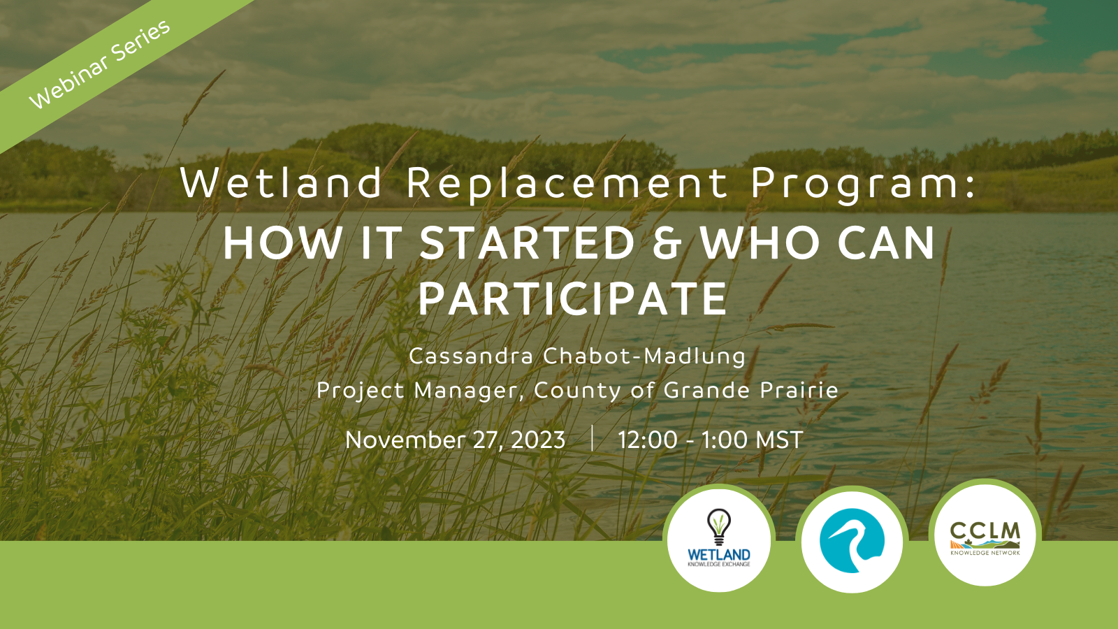
Cassandra Chabot-Madlung, County of Grande Prairie presents - Wetland Replacement Program: How it Started & Who Can Participate This is a Municipal viewpoint of Alberta Environment and Protected Areas...
Resource
Authors
Jessie Lavallee-Whiffen
Kristyn Mayner
Chantelle Abma
Video series from Ducks Unlimited Canada, discussing the fascinating and ecologically important dynamics of carbon in Canada’s peatlands, and our role in maintaining these crucial ecotypes. Part 1...
Resource
Resource Date:
January
2016
With over 75 years of experience and activity in every province and territory, Ducks Unlimited Canada (DUC) is a registered charity and a recognized leader in wetland conservation. DUC is a science...
Resource
Dr. Richard McCleary draws the links between what we see in the field to the maps we have for planning and points out that the information we need for watershed assessment and riparian zones is the same.
Resource
Dr. Lorin Hicks talks about the Montana example of habitat conservation planning in forestry management.
Resource
The presentation describes the development and content of the draft Biodiversity Management Framework for the Lower Athabasca Region
Resource
This public symposium covers Alberta's progress to improve its flood and drought resiliency, including the role of natural solutions. NOTE: This is a 4 hour video with multiple presenters
Resource
This presentation was a part of the Petroleum Technology Alliance of Canada, Hydraulic Fracturing in Western Canada: an Environmental Perspective Forum, in May of 2014.
Resource
The various applications of Ducks Unlimited Canada’s wetland inventories play a critical role in wetland conservation. They serve as key planning tools, helping people who live and work in the boreal...
Resource
The presentation describes the purpose and development of a water purification model that can be used to help decision-makers evaluate tradeoffs for land use development proposals
Resource
In order to protect boreal wetlands, we must first know where they are. This 6-minute video will show you how Ducks Unlimited Canada uses satellite data and remote sensing techniques to map wetlands...
Resource
Dr. Barry White reviews the progress made with LiDAR and wet area mapping in Alberta.
Resource
At the 2012 Alberta Institute of Agrologists conference, Bob Sanford - Chair, United Nations Water for Life Decade - gave a presentation about the variability of western Canada's climate, and what that may mean for the future.
Resource
Authors
NAIT Centre for Boreal Research
NAIT Centre for Boreal Research (formerly NAIT Boreal Research Institute) is developing cost effective methods to restore the ecological functions of the decommissioned wellsites with the surrounding...
Resource
Authors
NAIT Centre for Boreal Research
Resource Date:
April
2020
Exploration of resources (i.e. oil and gas, forestry) creates numerous temporary access features, including seismic lines, winter roads, and oil sands exploration (OSE) wells in boreal peatlands...
Resource
Resource Date:
January
2016
The Duck Mountain Provincial Forest in west-central Manitoba is a landbase with a mosaic of uplands and wetlands. The wetlands are both interspersed and interconnected with uplands. Ecosystem Based...
Resource
An aquatic mesocosm facility consisting of thirty 15,000 L tanks was constructed in Vegreville, Alberta to support environmental research.
Resource
Resource Date:
January
2016
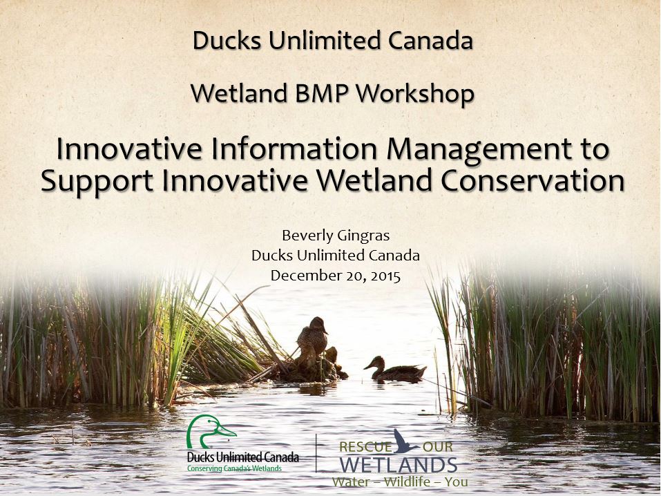
This presentation provides an overview of the Ducks Unlimited Canada Best Management Practices (BMP) program and the road to and purpose of the 2016 Wetland BMP Workshop.
Resource
Authors
G20 Global Land Initiative
Ramsar Convention on Wetlands
UN Decade for Ecosystem Restoration
UN Environment Programme
On the occasion of Word Wetlands Day on 2 February 2023, the G20 Global Land Initiative Coordination Office in partnership with the Ramsar Convention on Wetlands, UN Decade for Ecosystem Restoration...
Resource
The goal of the program is to develop a set of spatially explicit models that can be used to map the supply and economic value ecosystems goods and services