Land Management Search Results
Resource
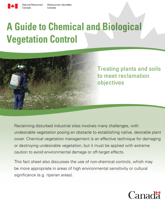
Reclaiming disturbed industrial sites involves many challenges, with undesirable vegetation posing an obstacle to establishing native, desirable plant cover. Chemical vegetation management is an...
Resource
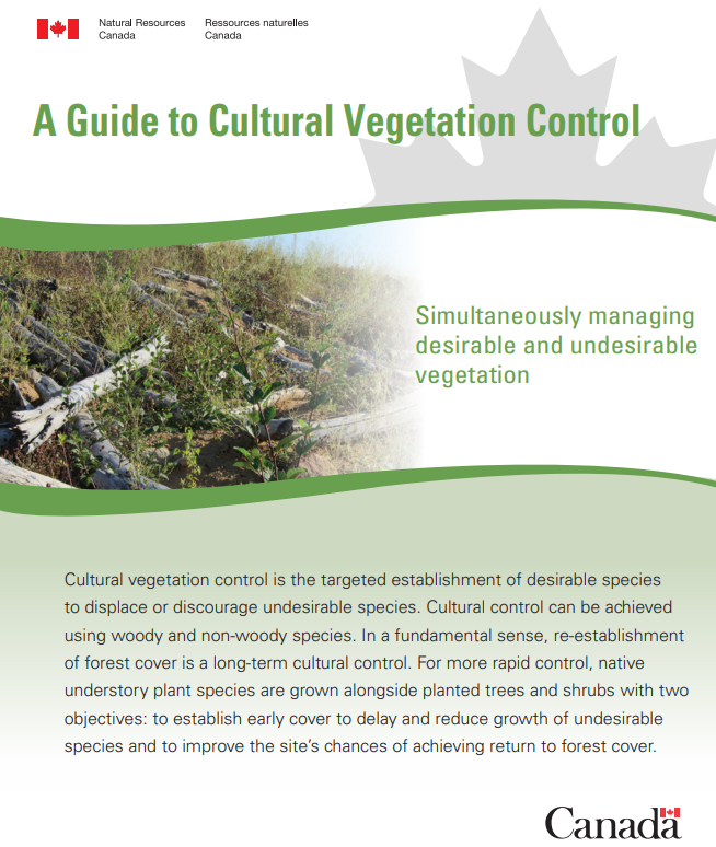
Cultural vegetation control is the targeted establishment of desirable species to displace or discourage undesirable species. Cultural control can be achieved using woody and non-woody species. In a...
Resource
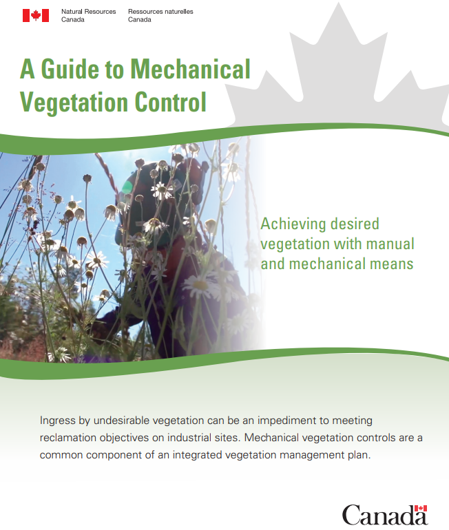
Ingress by undesirable vegetation can be an impediment to meeting reclamation objectives on industrial sites. Mechanical vegetation controls are a common component of an integrated vegetation...
Resource
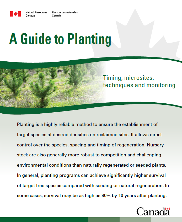
Planting is a highly reliable method to ensure the establishment of target species at desired densities on reclaimed sites. It allows direct control over the species, spacing and timing of...
Resource
Vegetation management is a critical component of a successful reclamation program. Reclamation activities following industrial disturbances can make many sites vulnerable to ingress by undesirable...
Resource
Authors
Alberta Biodiversity Monitoring Institute
Vulnerability to climate change of more than 170 of Alberta’s native species is assessed on the basis of exposure and sensitivity to change
Resource
Objective - develop a collective understanding of the scope of sites impacted by soil sterilants (bromacil and tebuthiuron) and the specific challenges associated with their remediation and management
Resource
This infographic by the CCLM discusses mesocosms and the InnoTech Alberta Mesocosm Facility in Vegreville, Alberta.
Resource
These guidelines are designed to help land users minimize, or avoid, potential adverse effects on selected wildlife and wildlife resources when conducting activities on public and private lands within...
Resource
This Fact Sheet gives guidance regarding the use of native plant materials for revegetation of industrial developments in Alberta. A native plant is defined as a species occurring within its historic...
Resource
Authors
InnoTech Alberta
University of Alberta
The InnoTech/UofA above ground mesocosm facility enables configurable, innovative approaches for assessing potential environmental and ecological impacts of industrial activities
Resource
This presentation describes a method of assessing cumulative effects, taking into account the many drivers or pressures on the landscape and their effects on watershed processes.
Resource
Resource Date:
March
2013
This presentation describes how the Alberta oil and gas industry decided to go with a oil/gas spill cooperative rather than having individual company spill response units.
Resource
This presentation provides an example oaf how Wet Areas Mapping and LiDAR can be used as a tool to monitor biodiversity.
Resource
Resource Date:
March
2012
Barry White discusses the ways LiDAR is being used by departments within the government of Alberta.
Resource
Resource Date:
March
2012
Jae Ogilvie presents on his group's research related to the use of Wet Areas Mapping data to predict the flow of contaminants from the Rainbow pipeline spill in northern Alberta in 2011.
Resource
Authors
Brian Sawyer
Phil Mackenzie
Resource Date:
March
2012
Brian Sawyer and Phil Mackenzie discuss how GOA decided to acquire LiDAR data, the value it has to various government departments, and how it is being used.
Resource
Resource Date:
March
2012
This presentation discusses how Alberta Parks uses LiDAR data to inform decision-making in their land management activities.
Resource
This presentation covers work done on identifying factors that influence forest regeneration on seismic lines, and using that information to model optimizing revegetation.
Resource
Resource Date:
March
2012
Chris Hopkinson gives an overview of how airborne laser scanning works, what type of data is collected, and how it can be used.