Wetlands Knowledge Search Results
Resource
Authors
Jesse Tigner
Erin Bayne
Stan Boutin
Resource Date:
January
2014
This resource is available on an external database and may require a paid subscription to access it. It is included on the CCLM to support our goal of capturing and sharing the breadth of all...
Resource
Authors
Ronnie Drever
Maria Strack
Kristy Burke
Learn more about the recent work of two renowned Canadian researchers and how their work has benefited from various collaborations and communication across diverse stakeholder groups
Resource
Forest fire is the primary natural disturbance process influencing the distribution and abundance of terrestrial lichens across ranges of woodland caribou ( Rangifer tarandus caribou), including the...
Resource
Authors
Martin LeClerc
Mathieu Leblond
Christian Dussault
Mael Le Corre
Steeve Côté
This resource is available on an external database and may require a paid subscription to access it. It is included on the CCLM to support our goal of capturing and sharing the breadth of all...
Resource
Authors
Jason Clark
Ken Tape
Latha Baskaran
Clayton Elder
Charles Miller
Kimberley Miner
Jonathan O'Donnell
Benjamin Jones
Beaver engineering in the Arctic tundra induces hydrologic and geomorphic changes that are favorable to methane (CH 4) production. Beaver-mediated methane emissions are driven by inundation of...
Resource
Authors
Terrance Power
Robert Cameron
Thomas Neily
Brad Toms
Resource Date:
April
2018
This resource is available on an external database and may require a paid subscription to access it. It is included on the CCLM to support our goal of capturing and sharing the breadth of all...
Resource
Authors
Oumer Ahmed
Adam Shemrock
Dominique Chabot
Chris Dillon
Griffin Williams
Rachel Wasson
Steven Franklin
Resource Date:
February
2017
This resource is available on an external database and may require a paid subscription to access it. It is included on the CCLM to support our goal of capturing and sharing the breadth of all...
Resource
Authors
S. Konkolics
Melanie Dickie
Robert Serrouya
Stan Boutin
To examine the effects of forest fires on woodland caribou, we collected GPS location data on five caribou ranges in northeastern Alberta.
Resource
Authors
Sini-Selina Salko
Jussi Juola
Iuliia Burdun
Harri Vasander
Miina Rautiainen
Boreal peatlands store ~25 % of global soil organic carbon and host many endangered species; however, they face degradation due to climate change and anthropogenic drainage. In boreal peatlands...
Resource
Authors
Jordan McNamara
James Schaefer
Guillaume Bastille-Rousseau
Shane Mahoney
Resource Date:
September
2021
This resource is available on an external database and may require a paid subscription to access it. It is included on the CCLM to support our goal of capturing and sharing the breadth of all...
Resource
Beavers, Canada's national animal, provide many valuable ecosystem services including storage of water during droughts and flooding, creation of habitat for a variety of species, and improvement of...
Resource
Authors
Wek’èezhìı Renewable Resources Board
A 109-page document on the reasons for decision of the Wek’èezhìı Renewable Resources Board regarding wolf management in the region.
Resource
Authors
Steven Wilson
Glenn Sutherland
Nicholas Larter
Allicia Kelly
Ashley McLaren
James Hodson
Troy Hegel
Robin Steenweg
Dave Hervieux
Thomas Nudds
Understanding spatial distributions of organisms and the consequences for conservation policy and management decisions remain important challenges. We describe a method for grouping caribou into plausible candidate Local Population Units that may better approximate geographic closure than the existing LPUs.
Resource
Authors
Guillermo Castilla
Ronald Hall
Rob Skakun
Michelle Filiatrault
André Beaudoin
Michael Gartrell
Lisa Smith
Kathleen Groenewegen
Chris Hopkinson
Jurjen van der Sluijs
Resource Date:
February
2022
Wall-to-wall 30 m raster maps of broad forest type, stand height, crown closure, stand volume, total volume, aboveground biomass, and stand age were created for a ~400,000 km2 area, validated with independent data, and generalized into a polygon GIS layer resembling a traditional FI map. The MVI project showed that a reasonably accurate FI map for large, remote, predominantly non-inventoried boreal regions can be obtained at a low cost by combining limited field data with remote sensing data from multiple sources.
Resource
Understanding how populations are structured and how they use natural and anthropogenic spaces is essential for effective wildlife management. A total of 510 barren-ground ( Rangifer tarandus...
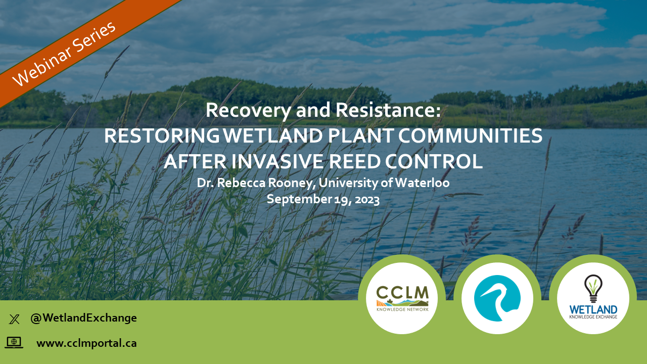
Resource
Resource Date:
September
2023
Recovery and Resistance: Restoring the wetland plant community after invasive reed control Presenter: Dr. Rebecca Rooney, University of Waterloo For established invasions, like European common reed...
Resource
Authors
Wetland Knowledge Exchange
Resource Date:
January
2023
The Wetland Knowledge Exchange releases monthly newsletters that highlight new research, publications, news, interesting facts, events and more. In this edition you will learn about: How wetlands...
Resource
The Wetland Knowledge Exchange releases monthly newsletters that highlight new research, publications, news, interesting facts, events and more. In our June issue of the Wetland Knowledge Exchange...
Resource
The Wetland Knowledge Exchange releases monthly newsletters that highlight new research, publications, news, events and more. In this edition you will learn about: Peatland Atlas: A global look at...
Resource
Resource Date:
September
2023
The Wetland Knowledge Exchange releases monthly newsletters that highlight new research, publications, news, events and more. In this edition you will learn about: The outsized role of small ephemeral...