Wetlands Knowledge Search Results
Resource
Dr. Richard McCleary draws the links between what we see in the field to the maps we have for planning and points out that the information we need for watershed assessment and riparian zones is the same.
Resource
Dr. Lorin Hicks talks about the Montana example of habitat conservation planning in forestry management.
Resource
Resource Date:
March
2013
This presentation describes the Alberta Watershed Toolkit as a watershed planning community space to share success stories and tools.
Resource
Resource Date:
March
2013
This presentation discusses the state of wetland and peatland conservation in Alberta.
Resource
Resource Date:
March
2013
This presentation summarizes a 6 year project to evaluate the environmental and economic performance of agricultural BMPs to improve water quality on small watercourses in Alberta.
Resource
The presentation describes the purpose and development of a water purification model that can be used to help decision-makers evaluate tradeoffs for land use development proposals
Resource
Resource Date:
March
2013
This presentation describes what the Bow River Watershed Council learned through the various iterations of its watershed plans and state of the watershed reports.
Resource
Resource Date:
March
2013
This presentation describes the watershed planning process for the Vermilion River.
Resource
Dr. Barry White reviews the progress made with LiDAR and wet area mapping in Alberta.
Resource
Resource Date:
March
2013
This presentation summarizes the challenges of infrastructure management for water storage and delivery in southern Alberta.
Resource
Resource Date:
March
2013
This presentation discusses what watershed education looks like in the Red Deer River watershed.
Resource
Resource Date:
March
2013
This presentation provides a summary of the Plains Pipeline spill in the Red Deer River, June 7, 2012.
Resource
Resource Date:
March
2013
This presentation describes how focusing on functional flows versus typical water conservation management could improve aquatic in-stream ecosystems while meeting current water allocations.
Resource
Resource Date:
March
2013
This presentation reviews the forest management planning for Hidden Creek, a tributary to the Oldman River in southwestern Alberta.
Resource
Authors
NAIT Centre for Boreal Research
NAIT Centre for Boreal Research (formerly NAIT Boreal Research Institute) is developing cost effective methods to restore the ecological functions of the decommissioned wellsites with the surrounding...
Resource
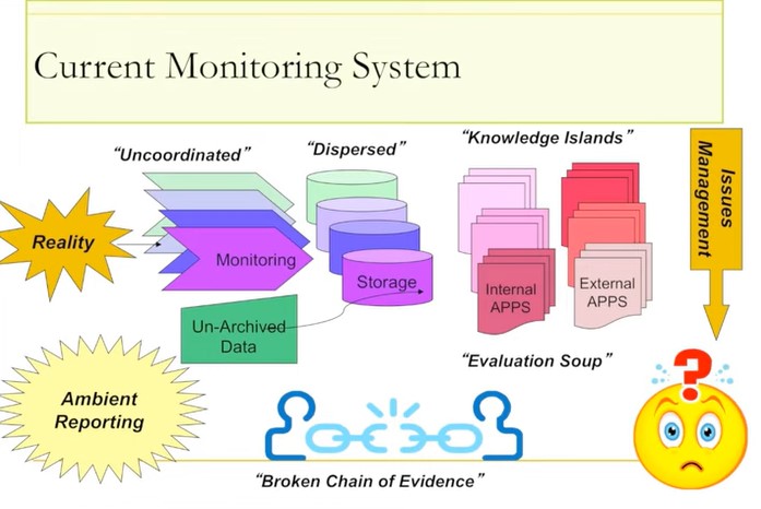
Ernie Hui gave a keynote address at the CWRA-WPAC joint conference on March 13, 2013. Ernie Hui is the CEO, Environmental Monitoring, for Alberta Environment and Sustainable Resource Development. The...
Resource
Monitoring and conservation of rare species, particularly in the boreal forests of northern Alberta, is a challenge due to knowledge gaps on distribution and abundance of species
Resource
Dr.Rick Bonar describes how riparian mapping is used to define riparian ecological areas and the management strategy for those areas.
Resource
ohn Stadt, Alberta Environment and Sustainable Resource Development, describes forestry management policy in Alberta specifically in regards to riparian zones in forests.
Resource
Jay Mills, Vegetation Data Specialist with Jeodesy GIS, talks about LiDAR data and interpreting it for riparian vegetation.