Search Results
Displaying:
121 - 140 of 707
Canadian Wetland Inventory Activities in the Prairie and Boreal Regions of Canada
Event
Event Date and Time
August 30th, 2023 at 2:00pm EST to August 30th, 2023 at 3:00pm EST
Contact
Organization
The Wetland Mapping Consortium (WMC), founded in 2008, is an interdisciplinary group of wetland scientists and managers interested in mapping and monitoring wetlands with remotely sensed images and/or...

Canadian Wetland Inventory using Google Earth Engine: The First Map and Preliminary Results
Resource
Although wetlands provide valuable services to humans and the environment and cover a large portion of Canada, there is currently no Canada-wide wetland inventory based on the specifications defined...

Can-Peat
News
Contact
Organization
The Can-Peat project will quantify the potential of peatland management in Canada to contribute to climate change mitigation as a nature-based solution. Learn more about the project here.
Caragana arborescens Lam. for Afforestation of Oil Sands Reclamation Sites: A Review
Resource
Alberta Forest Service has questioned the use of Caragana arborescens Lam. (caragana) as a high-portion species for afforestation of reclaimed areas associated with oil sands surface mines

Caribou Range Restoration Project Treatment Sites. 9 to 13 Year Follow-Up Monitoring in the Little Smoky Caribou Range
Resource
As caribou habitat restoration initiatives have become more widespread across Alberta in the last decade, key uncertainties have been recognized regarding what treatment types are appropriate for...

Caribou Recovery Pilot Project
Project
Contact
Organization:
The Caribou Recovery Pilot Project has been established to further develop the concept of a predator-free fenced area to support a small breeding population of woodland caribou (the Pilot). The Pilot...

Characterization of Organic Constituents in Waters and Wastewaters of the Athabasca Oil Sands Mining Area
Resource
Organic constituents of wastewaters discharged from the GCOS plant and Syncrude Canada Ltd. lease No. 17 were characterized and compared to those occurring naturally in the Athabasca River

Characterization of Stored Peat in the Alberta Oil Sands Area
Resource
Physical, chemical, and microbiological properties of stored materials were compared with those of fibric moss peat, mesic moss peat, and mesic fen peat samples from undisturbed sites

Chemical and Biological Monitoring of Muskeg Drainage at the Alsands Project Site. Volume 1: Review of Available Data on the Muskeg River
Resource
Baseline data available on the Muskeg River hydrology, benthic invertebrates, plankton and fish are generally useful, but additional information is desireable

Chemical and Biological Monitoring of Muskeg Drainage at the Alsands Project Site. Volume II: Monitoring and Fish Studies
Resource
Studies intended to both monitor the effects of Alsands' muskeg drainage on aquatic habitats and terrestrial vegetation, and to form the basis of a long-term aquatic habitat monitoring program

Chemical and Biological Monitoring of the Muskeg Drainage at the Alsands Project Site. Program Evaluation and Suggestions for Continued Monitoring
Resource
The present volume evaluates the 1980 monitoring program, and makes suggestions for the conduct of future monitoring studies on the Muskeg River and elsewhere in the AOSERP area

Circulation of Water and Sediment in the Athabasca Delta Area
Resource
Describe how water and sediment from the Athabasca River are distributed through the delta system and how they circulate and mix in Lake Athabasca and flow through to the Slave River (re contaminants)

Climatological Analysis of Recent Data from the Athabasca Oil Sands Area
Resource
Climatological analysis of recent data from the MAPS network of automatic meteorological data acquisition, forestry lookout stations, minisondes, pack surveys, and the Fort McMurray station

Coal Mining in the Green Area
Resource
In regard to reclamation, the predisturbance inventories carried out as a function of the EIA or D&R Approval, dictate to a large extent the vegetation cover or land uses that will be established. As...

Code of Practice for Wetland Replacement Works
Resource
This code of practice regulates wetland restoration and wetland construction activities as defined in the Code by replacing Water Act approval requirements. Wetland restoration is applied to wetlands...

Cold Lake Sub-Regional Plan
Resource
The Government of Alberta (GoA) is committed to maintaining jobs, building local economies, and supporting strong communities, while conserving and wisely managing our public lands. An important part...

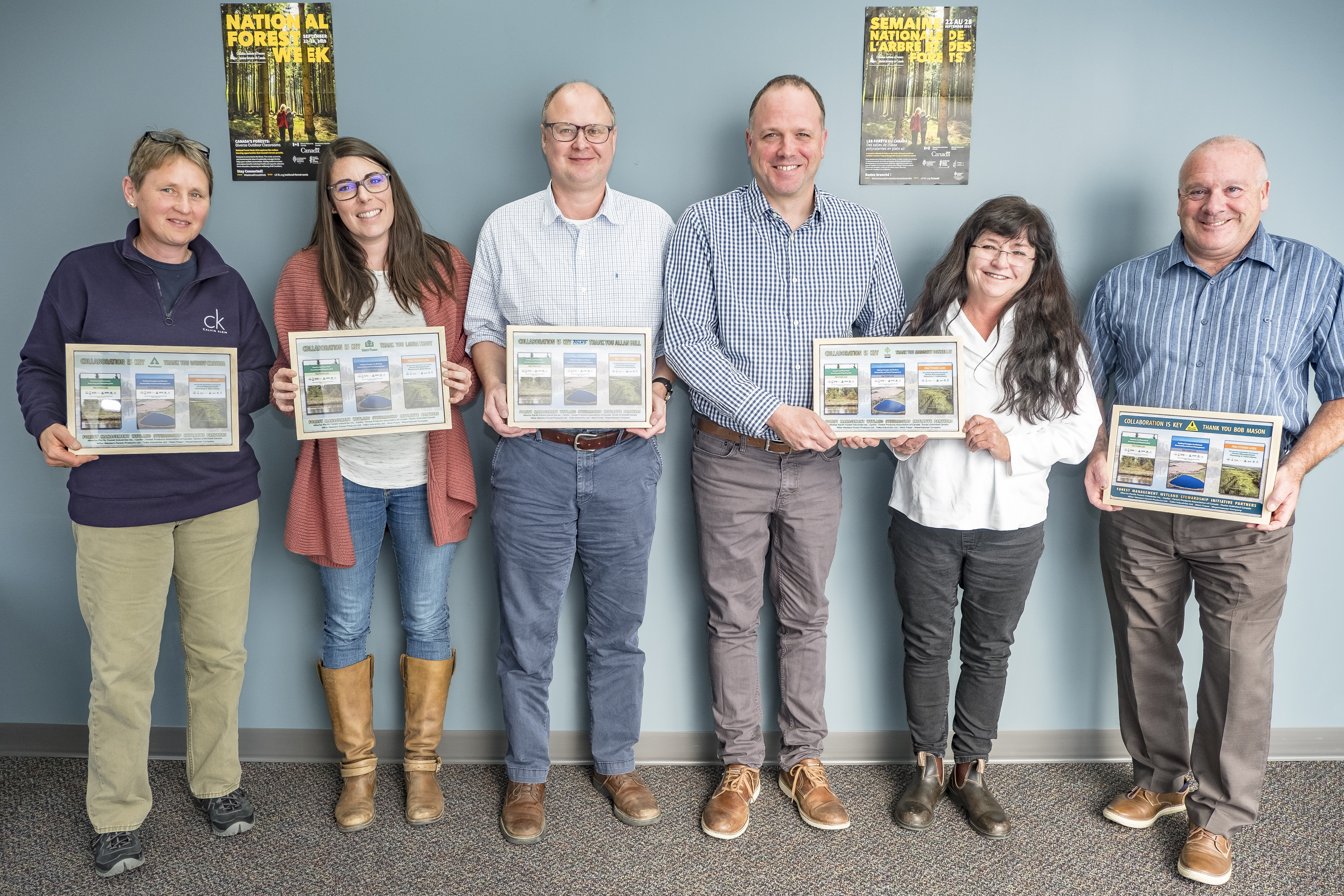
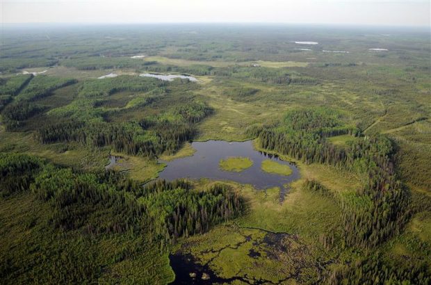
Collaboration Key to Unique Wetland Stewardship Initiative
News
Contact
Organization
Canada’s boreal forest is an impressive 1.3-billion-acre region spanning from the north-west border of the Yukon, all the way to Labrador, and is the largest contiguous forest landscape on Earth. It...