
Search Results
Displaying:
1 - 10 of 10
A Long Time Ago in the Future: Caribou and The People of Ungava: Ungava Peninsula Caribou Aboriginal Round Table
Resource
The Indigenous Peoples of Ungava self-organized into the Ungava Peninsula Caribou Aboriginal Round Table (“UPCART” or “the Round Table”) in early 2013. For the first time in human history the Peoples...

Biogeochemical Response to Vegetation and Hydrologic Change in an Alaskan Boreal Fen Ecosystem
Resource
Boreal peatlands store approximately one third of the earth’s terrestrial carbon, locked away in currently waterlogged and frozen conditions. Peatlands of boreal and arctic ecosystems are affected...

Contrasting Dynamical Responses of Sympatric Caribou and Muskoxen to Winter Weather and Earlier Spring Green-up in the Arctic
Resource
Analyzed the population dynamics and offspring production of sympatric caribou and muskoxen in West Greenland over an 18-year period (2002–2019) during which the timing of spring green-up has advanced


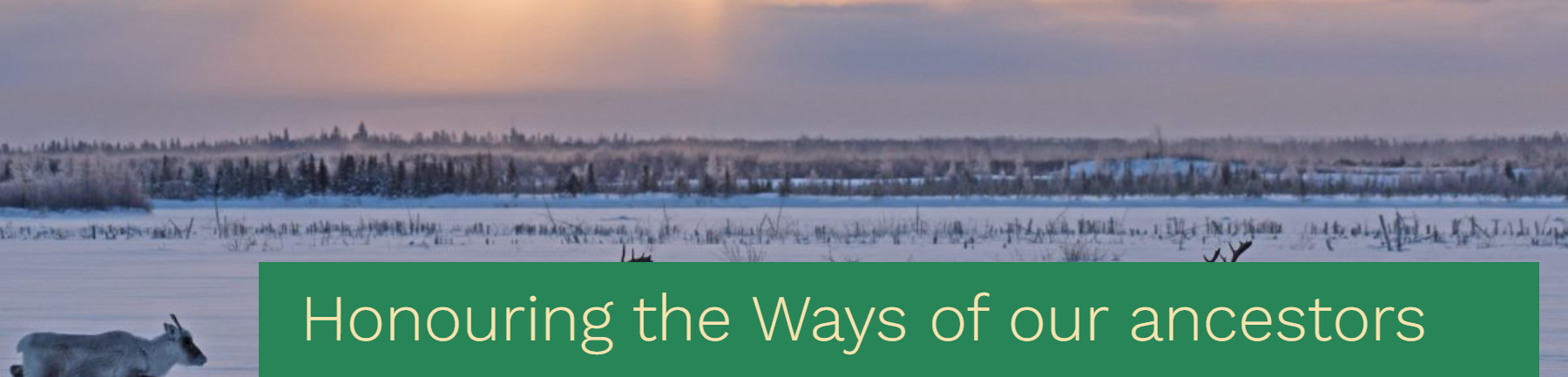
Honouring the ways of our ancestors, the Cree and Innu Nations sign a traditional understanding built from the customary values of sharing, sustainable harvest and respect for the caribou
News
Organization
The Maamuu nisituhtimuwin/ Matinueu-mashinaikan atik u e uauinakanit establishes mutually agreed upon terms by which Innu communities in Québec will be able to access caribou within the Cree...
Large Herbivores Facilitate the Persistence of Rare Taxa Under Tundra Warming
Resource
Ecological rarity, characterized by low abundance or limited distribution, is typical of most species, yet our understanding of what factors contribute to the persistence of rare species remains...
Peat Loss Collocates with a Threshold in Plant–Mycorrhizal Associations in Drained Peatlands Encroached by Trees
Resource
Drainage-induced encroachment by trees may have major effects on the carbon balance of northern peatlands, and responses of microbial communities are likely to play a central mechanistic role. We...

The Third Generation of Pan-Canadian Wetland Map at 10 m Resolution Using Multisource Earth Observation Data on Cloud Computing Platform
Resource
Development of the Canadian Wetland Inventory Map (CWIM) has thus far proceeded over two generations, reporting the extent and location of bog, fen, swamp, marsh, and water wetlands across the country...