
Search Results
Displaying:
1 - 13 of 13
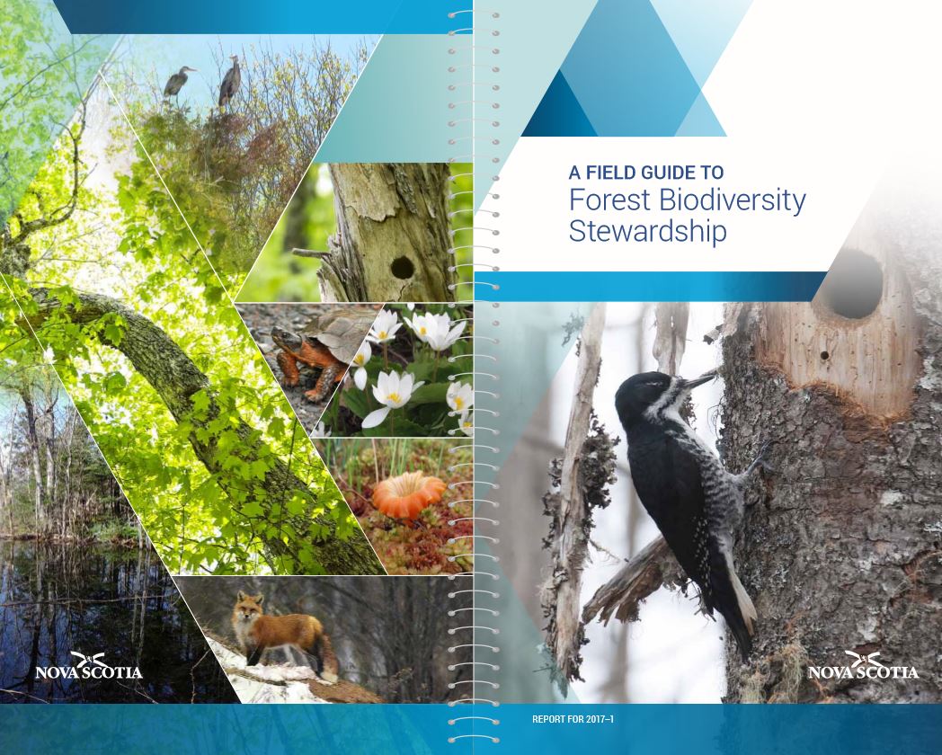
A Field Guide to Forest Biodiversity Stewardship
Resource
This field guide is designed as a stewardship tool primarily for forest harvesters, woodland managers, and private woodland owners working in Nova Scotia.
Digging Into Canadian Soils - An Introduction to Soil Science
Resource
Written entirely by members of the Canadian Society of Soil Science, "Digging into Canadian Soils: An Introduction to Soil Science" provides an introduction to the core disciplines of soil science...

Erasing Anthropogenic Disturbance: Natural Revegetation of Linear Features Following Wildfire, and the Implications for Woodland Caribou (Rangifer tarandus caribou) Habitat Management
Resource
The federal recovery strategy for woodland caribou identifies wildfires within the last 40 years and anthropogenic disturbance visible at a scale of 1:50,000, including a 500-m buffer, as disturbed...

Forest Structure and Site Conditions of Boreal Felt Lichen (Erioderma pedicallatum) Habitat in Cape Breton, Nova Scotia, Canada
Resource
This resource is available on an external database and may require a paid subscription to access it. It is included on the CCLM to support our goal of capturing and sharing the breadth of all...

Governance as a Driver of Change in the Canadian Boreal Zone
Resource
The Canadian boreal forest is primarily public land, owned and managed by provincial governments on behalf of the public interest. Boreal forest governance consists of a complex patchwork of federal...
Restoration Ecology: Aiding and Abetting Secondary Succession on Abandoned Peat Mines in Nova Scotia and New Brunswick, Canada
Resource
The research reported here aims to characterise and compare different planting methods in terms of which would be more successful for achieving the regeneration of dwarf fleshy-fruited shrubs on...

The Third Generation of Pan-Canadian Wetland Map at 10 m Resolution Using Multisource Earth Observation Data on Cloud Computing Platform
Resource
Development of the Canadian Wetland Inventory Map (CWIM) has thus far proceeded over two generations, reporting the extent and location of bog, fen, swamp, marsh, and water wetlands across the country...
Using LiDAR, Colour Infrared Imagery, and Ground Truth Data for Mapping and Characterizing Vegetation Succession on Disturbance Types: Implications for Woodland Caribou (Rangifer tarandus caribou) Habitat Management
Resource
Woodland caribou (Rangifer tarandus caribou) occur throughout Canada’s boreal forest and have been declining both in distribution and population size along the southern extent of their range...
Vegetation Recovery on Low Impact Seismic Lines in Alberta's Oil Sands and Visual Obstruction of Wolves (Canis lupus) and Woodland Caribou (Rangifer tarandus caribou)
Resource
Low-Impact Seismic (LIS) exploration techniques are being increasingly used in northeastern Alberta, Canada to explore for in-situ oil sands deposits. These narrow (2-4-m wide), meandering man-made...