
Search Results
Displaying:
1 - 15 of 15
Caribou Range Restoration Project Treatment Sites. 9 to 13 Year Follow-Up Monitoring in the Little Smoky Caribou Range
Resource
As caribou habitat restoration initiatives have become more widespread across Alberta in the last decade, key uncertainties have been recognized regarding what treatment types are appropriate for...

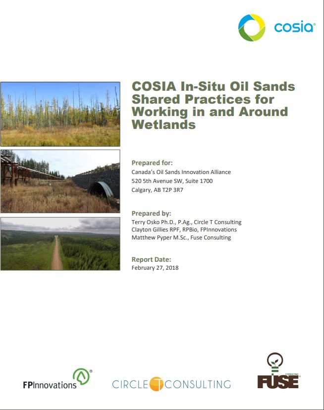
COSIA In-Situ Oil Sands Shared Practices for Working in and Around Wetlands
Resource
This report compiles a toolbox of shared practices currently in use by COSIA companies, or which have been used but were found to be unsuccessful.
Land-use Planning Following Resource Extraction – Lessons from Grizzly Bears at Reclaimed and Active Open Pit Mines
Resource
Following closure, access management on designated trails will reduce risk of conflicts. Imposing access restrictions, preserving undisturbed habitat patches and restoring original vegetation

Less Flammable Vegetation for Linear Industry Rights-‐of-‐way
Resource
FPInnovations launched a multi-year study to determine whether a less-flammable, herbaceous species could replace the flammable grasses that typically colonize linear ROWs

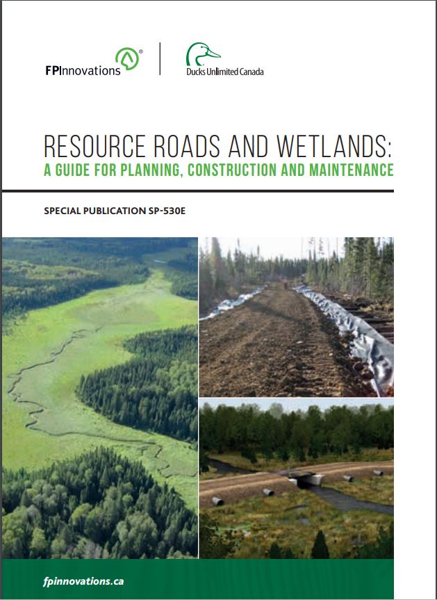
Resource Roads and Wetlands: A Guide for Planning, Construction, and Maintenance
Resource
This guide contains best management practices that help plan, construct and maintain resource roads in forested environments in order to maintain the movement of water in wetlands.
Resource Roads and Wetlands: Practical Applications to Maintain Hydrologic Connectivity
Resource
This presentation highlights planning and operations applications of water management techniques for resource roads crossing wetlands.

Restoring Seismic Lines - the Wildlife Perspective
Resource
Presentation from the Seismic Line Restoration Technical Session Edmonton, AB December 1 st , 2016 Organized by the Canadian Institute of Forestry This technical session will facilitate discussion and...

The Effects of Black Spruce Fuel Management on Surface Fuel Condition and Peat Burn Severity in an Experimental Fire
Resource
This resource is available on an external database and may require a paid subscription to access it. It is included on the CCLM to support our goal of capturing and sharing the breadth of all...

The Third Generation of Pan-Canadian Wetland Map at 10 m Resolution Using Multisource Earth Observation Data on Cloud Computing Platform
Resource
Development of the Canadian Wetland Inventory Map (CWIM) has thus far proceeded over two generations, reporting the extent and location of bog, fen, swamp, marsh, and water wetlands across the country...
Video - Resource Roads and Wetlands: Road Construction Considerations
Resource
Canada’s forested landscapes feature numerous wetlands, such as fens, bogs and swamps, which present environmental and operational challenges during the planning, construction and maintenance of...

Webinar - Developing Best Management Practices for Resource Roads and Wetlands
Resource
This webinar provides an overview of a resource roads and wetlands field guide completed by Ducks Unlimited Canada and FPInnovations.

Webinar - Measuring Carbon in Wetlands: A Rapid Assessment Protocol
Resource
This webinar provides an overview of a project funded by the Sustainable Forestry Initiative that involves collaboration among the Saskatchewan Research Council, Ducks Unlimited Canada, Louisiana...
