
Search Results
Displaying:
1 - 8 of 8
A Long Time Ago in the Future: Caribou and The People of Ungava: Ungava Peninsula Caribou Aboriginal Round Table
Resource
The Indigenous Peoples of Ungava self-organized into the Ungava Peninsula Caribou Aboriginal Round Table (“UPCART” or “the Round Table”) in early 2013. For the first time in human history the Peoples...

Documentary Release: HERD: Inuit Voices on Caribou
News
Contact
Organization
A documentary film about a 99% decline of caribou and what that means for Inuit in the Nunatsiavut and NunatuKavut regions of Labrador, Canada had its Canadian broadcasting premiere of a at the...
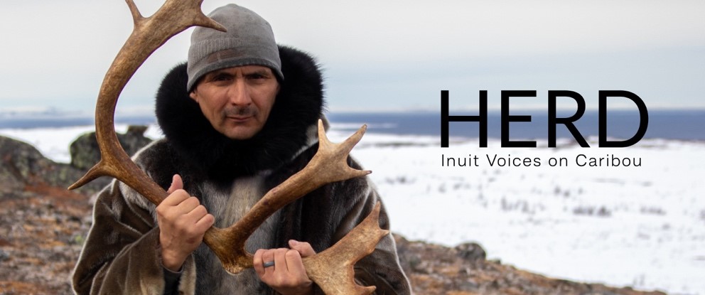
HERD: Inuit Voices on Caribou
Project
Contact
Organization:
As a research initiative, the HERD project has co-created knowledge with Inuit about their relationship with caribou in the context of the population declines and hunting ban. We conducted video...
HERD: Inuit Voices on Caribou
Resource
In the startling collapse of the once massive George River Caribou Herd - and a subsequent total hunting ban - Inuit in Labrador, Canada, were abruptly confronted with a new reality: life without a...
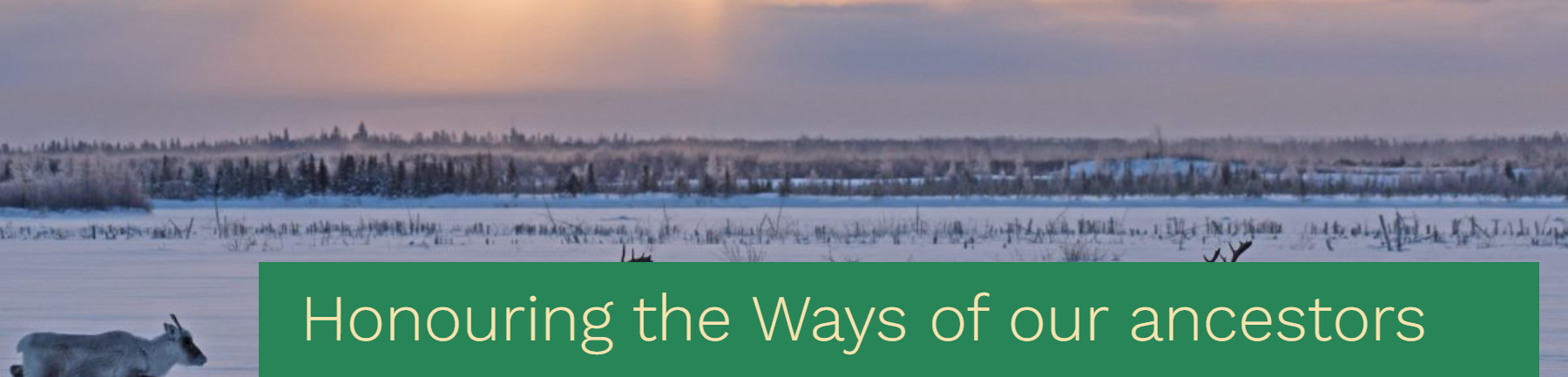
Honouring the ways of our ancestors, the Cree and Innu Nations sign a traditional understanding built from the customary values of sharing, sustainable harvest and respect for the caribou
News
Organization
The Maamuu nisituhtimuwin/ Matinueu-mashinaikan atik u e uauinakanit establishes mutually agreed upon terms by which Innu communities in Québec will be able to access caribou within the Cree...
Integrating Traditional and Evolutionary Knowledge in Biodiversity Conservation: A Population Level Case Study
Resource
Despite their dual importance in the assessment of endangered/threatened species, there have been few attempts to integrate traditional ecological knowledge (TEK) and evolutionary biology knowledge...

The Third Generation of Pan-Canadian Wetland Map at 10 m Resolution Using Multisource Earth Observation Data on Cloud Computing Platform
Resource
Development of the Canadian Wetland Inventory Map (CWIM) has thus far proceeded over two generations, reporting the extent and location of bog, fen, swamp, marsh, and water wetlands across the country...
