
Search Results
Displaying:
1 - 11 of 11
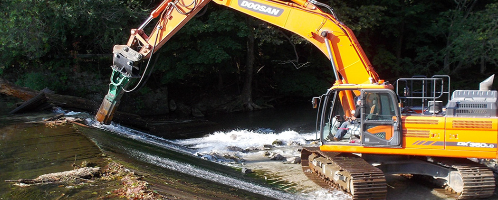
Dam Removal: Design, Planning, and Implementation
Event
Event Date and Time
June 5th, 2024 at 8:30am EST to June 6th, 2024 at 12:30pm EST
A two-day online course running from 0830 to 1230. In the Infrastructure Investment and Jobs Act, signed into law in November 2021, there is $800 million for dam removal. With the growing awareness...
Evaluation of Approaches to Depicting First Nations, Inupiat and Inuvialuit Environmental Information in GIS Format: Options for the Handling of Spatial Information in the Arctic Borderlands Ecological Knowledge Co-Op Database
Project
Organization:
This Master's project documented an evaluation of the spatial utility of the Arctic Borderlands Ecological Knowledge Co-op database and the many steps that are involved in the collection, storage, and...

Evaluation of Approaches to Depicting First Nations, Inupiat and Inuvialuit Environmental Information in GIS Format: Options for the Handling of Spatial Information in the Arctic Borderlands Ecological Knowledge Co-Op Database
Resource
Abstract As the pace of climate change continues to accelerate in the North, traditional environmental knowledge systems are increasingly recognized by researchers, land use planners, government...

From Felt Tip to Technology: The Challenges of Representing Traditional Knowledge in a GIS Platform to Create a Knowledge Surface
Project
Organization:
This project explored the challenges of representing Traditional Knowledge using western technologies, and the application of fuzzy methodologies for improving the representation. Inuit Elders and...
From Felt Tip to Technology: The Challenges of Representing Traditional Knowledge in a GIS Platform to Create a Knowledge Surface
Resource
Abstract Traditional knowledge (TK) has been the keystone to survival in the Arctic for thousands of years. Caribou are integral to the society, health and culture of the Inuit, the Indigenous peoples...
Modeled Production, Oxidation, and Transport Processes of Wetland Methane Emissions in Temperate, Boreal, and Arctic Regions
Resource
This resource is available on an external database and may require a paid subscription to access it. It is included on the CCLM to support our goal of capturing and sharing the breadth of all...

The Third Generation of Pan-Canadian Wetland Map at 10 m Resolution Using Multisource Earth Observation Data on Cloud Computing Platform
Resource
Development of the Canadian Wetland Inventory Map (CWIM) has thus far proceeded over two generations, reporting the extent and location of bog, fen, swamp, marsh, and water wetlands across the country...
Wetland Construction: Principles, Planning, and Design
Event
Event Date and Time
December 4th, 2023 at 9:00am EST to December 8th, 2023 at 3:30pm EST
Organization
Wetland Construction: Principles, Planning, and Design As state and federal wetland mitigation standards evolve away from an acre-for-acre approach to a focus on replacing wetland functions, your...
