
Search Results
Displaying:
1 - 11 of 11
A Hydrogeological Landscape Framework to Identify Peatland Wildfire Smouldering Hot Sports
Resource
Northern peatlands are important global carbon stores, but there is concern that these boreal peat reserves are at risk due to increased fire frequency and severity as predicted by climate change...

A Hydrogeological Landscape Framework to Identify Peatland Wildfire Smouldering Hot Spots
Resource
This study used a combination of field measurements and modelling to assess the vulnerability of peat to smouldering in the Utikuma Region Study Area, Alberta, Canada.

A Map of Global Peatland Extent Created Using Machine Learning (Peat-ML)
Resource
Peatlands play an integral role in the global carbon and hydrologic cycles and make up 3% of the Earth’s total landscape. Despite their importance, there is a lack of accurate information on the...

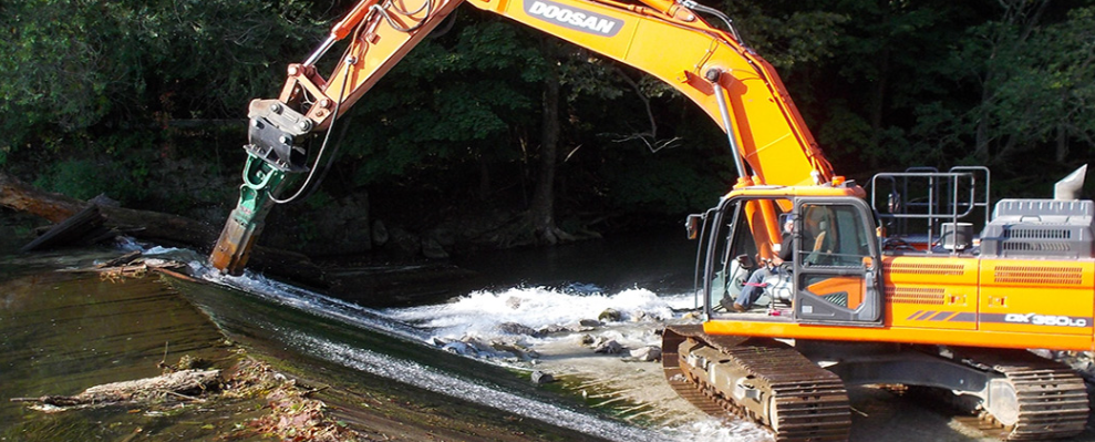
Dam Removal: Design, Planning, and Implementation
Event
Event Date and Time
June 5th, 2024 at 8:30am EST to June 6th, 2024 at 12:30pm EST
A two-day online course running from 0830 to 1230. In the Infrastructure Investment and Jobs Act, signed into law in November 2021, there is $800 million for dam removal. With the growing awareness...
Modeled Production, Oxidation, and Transport Processes of Wetland Methane Emissions in Temperate, Boreal, and Arctic Regions
Resource
This resource is available on an external database and may require a paid subscription to access it. It is included on the CCLM to support our goal of capturing and sharing the breadth of all...
Near-surface Controls on Peatland Hydrology: Implications for Rapid Disturbance Adaptation and Enhanced Resilience to Disturbance
Resource
Northern peatlands faced compounding disturbances that transformed such critical ecosystems from long-term carbon sinks into carbon sources. Considerable investment is therefore directed for restoring...
The Third Generation of Pan-Canadian Wetland Map at 10 m Resolution Using Multisource Earth Observation Data on Cloud Computing Platform
Resource
Development of the Canadian Wetland Inventory Map (CWIM) has thus far proceeded over two generations, reporting the extent and location of bog, fen, swamp, marsh, and water wetlands across the country...
Using Stable Isotopes to Track Hydrological Processes at an Oil Sands Mine, Alberta, Canada
Resource
Water samples were collected and analyzed regularly over an eight-year period to establish inventories of site-wide water isotope signatures including seasonal and interannual changes in the recycle...

Wetland Construction: Principles, Planning, and Design
Event
Event Date and Time
December 4th, 2023 at 9:00am EST to December 8th, 2023 at 3:30pm EST
Organization
Wetland Construction: Principles, Planning, and Design As state and federal wetland mitigation standards evolve away from an acre-for-acre approach to a focus on replacing wetland functions, your...
