
Search Results
Displaying:
101 - 120 of 284
Video - 2016 Wetland Best Management Practices Workshop: Opening Remarks
Resource
With over 75 years of experience and activity in every province and territory, Ducks Unlimited Canada (DUC) is a registered charity and a recognized leader in wetland conservation. DUC is a science...

Video - Applications of Wetland Inventories
Resource
The various applications of Ducks Unlimited Canada’s wetland inventories play a critical role in wetland conservation. They serve as key planning tools, helping people who live and work in the boreal...

Video - Assessing Cumulative Ecological Effects: The Changing Management Landscape
Resource
Jim Schieck discusses how cumulative effects are currently being assessed in Alberta.

Video - Assessment of forest attributes using airborne and terrestrial LiDAR
Resource
This presentation discusses the different ways that LiDAR data can be effectively used in forestry management applications.

Video - Blood Tribe Buffalo Restoration Project
Resource
Members of the Káínawa – or Blood Tribe – are applying training in western science, alongside their Indigenous Knowledge, to bring buffalo back to their historical habitat in southern Alberta, the...

Video - Boreal Wetlands Remote Sensing
Resource
In order to protect boreal wetlands, we must first know where they are. This 6-minute video will show you how Ducks Unlimited Canada uses satellite data and remote sensing techniques to map wetlands...

Video - Building a Sustainable Alberta Through Deployment of LiDAR Technologies: Reflections from an SRD perspective
Resource
Barry White discusses the ways LiDAR is being used by departments within the government of Alberta.

Video - Caribou Conservation Project
Resource
The Denesųłiné of Cold Lake First Nations (CLFN) are applying both their Indigenous Knowledge and expertise in western science to develop and implement diverse caribou conservation strategies in...

Video - Enhanced Fuel Mapping for Wildfire Management
Resource
This presentation discusses ways that LiDAR data can be used in forestry management, including for mapping mountain pine beetle infestations.

Video - Feature Extraction from Multisensor Airborne Data: Monitoring of large-scaled industrial activity on the natural landscape
Resource
This presentation discusses using airborne LiDAR data on monitoring projects with the federal and provincial government. Data collection and data extraction are reviewed.

Video - From Point Cloud to Supporting Decisions: Making use of your LiDAR data
Resource
This presentation discusses how to use LiDAR data, in particular for forestry, but also for other government and industry applications.

Video - High Resolution Inventories Using LiDAR: Challenges and opportunities
Resource
This presentation discuss a pilot project done with Spray Lakes Sawmill FMA related to doing plot inventories using LiDAR.

Video - Incorporation of Wetlands into Forest Management
Resource
The Duck Mountain Provincial Forest in west-central Manitoba is a landbase with a mosaic of uplands and wetlands. The wetlands are both interspersed and interconnected with uplands. Ecosystem Based...

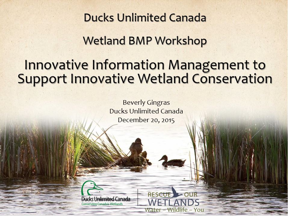
Video - Innovative Information Management to Support Wetland Conservation
Resource
This presentation provides an overview of the Ducks Unlimited Canada Best Management Practices (BMP) program and the road to and purpose of the 2016 Wetland BMP Workshop.
Video - LiDAR Data Capture and Analysis Standards
Resource
This presentation discusses some of the issues with data collection and analysis that could lead users to require standards.

Video - LiDAR: Demonstrating value to Alberta Parks through 101 uses
Resource
This presentation discusses how Alberta Parks uses LiDAR data to inform decision-making in their land management activities.

Video - LiDAR Use at the Archaeological Survey
Resource
This presentation reviews the ways that LiDAR data is used by staff at the Archaeological survey currently, and possible applications in future.

Video - Red River Environmental Project
Resource
The Fort McKay Métis Nation is using its Indigenous Knowledge to inform a community-led water monitoring program on the Red River, also called the McKay River, an important water source for their...

Video - Revegetation Success of Foothills Fescue Grassland
Resource
Jay Woosaree discusses fescue grassland site characteristics, different reclamation treatments, results and future plans.
