
Search Results
Displaying:
1 - 20 of 243
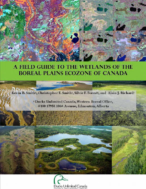
A Field Guide to the Wetlands of the Boreal Plains Ecozone of Canada
Resource
This guide provides an in-depth look at Ducks Unlimited Canada's (DUC) remote-sensing satellite mapping efforts and the development of the DUC enhanced wetland classification system.
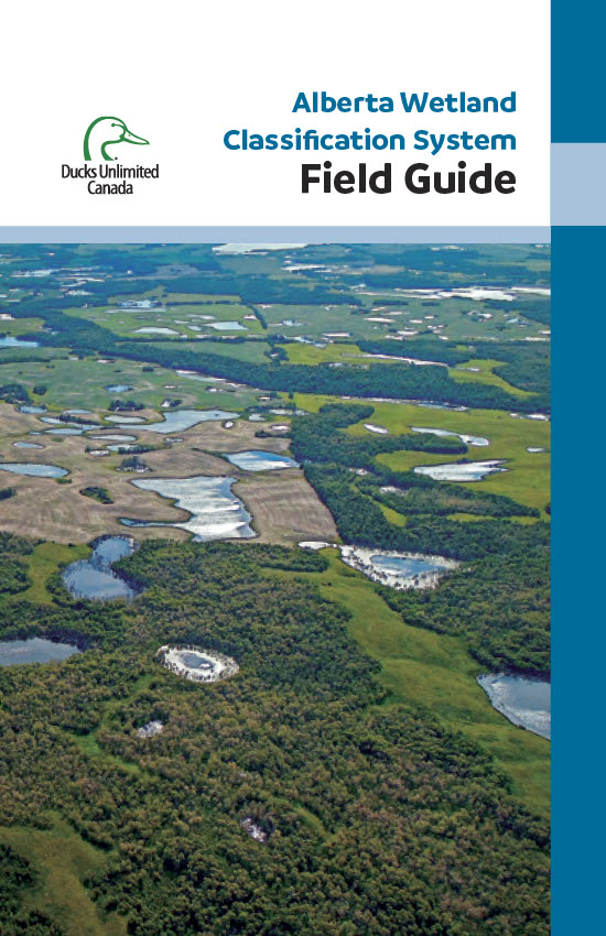
Alberta Wetland Classification System Field Guide
Resource
The Alberta Wetland Classification System Field Guide is a visual, plain-language field guide for identifying and classifying wetlands based on the Alberta Wetland Classification System (AWCS). The...
An Assessment of Sampling Designs Using SCR Analyses to Estimate Abundance of Boreal Caribou
Resource
Abstract Accurately estimating abundance is a critical component of monitoring and recovery of rare and elusive species. Spatial capture–recapture (SCR) models are an increasingly popular method for...

April 2023 Wetland Knowledge Exchange Newsletter
Resource
The Wetland Knowledge Exchange releases monthly newsletters that highlight new research, publications, news, interesting facts, events and more. In this edition you will learn about: Peatlands and...

April 2024 Wetland Knowledge Exchange Webinar - Recording
Resource
Boreal peatland restoration through partial removal of an oil and gas well pad Murdoch McKinnon, University of Waterloo Peatlands cover over 30% of the landscape on Canada’s Western Boreal Plains...

Biting Flies and Activity of Caribou in the Boreal Forest
Resource
Habitat loss has been implicated in the decline of forest-dwelling caribou ( Rangifer tarandus caribou), but it is unknown how biting insects, potentially important components of boreal forest habitat...
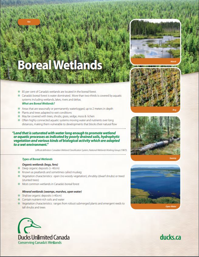
Boreal Wetland Factsheets
Resource
These fact sheets highlight plant, soil, and water indicators and key ecological benefits of each of the five major wetlands types.
Boreal Wetlands and Waterfowl: A Commitment to Stewardship Activities in Manitoba
Resource
Ducks Unlimited Canada (DUC) initiated the Western Boreal Program in 1997 with an understanding that working with forward thinking forest industry partners was key to advancing wetland conservation in...

Boreal Wetlands of Canada and the United States of America
Resource
The Canadian and Alaskan boreal zone is one of the most water rich areas in the world, and contains an estimated combined surface water and peatland area the size of Indonesia (∼1.94 million km2)...
Building Better Crossings: Incorporating Wetland Knowledge into Road Planning and Construction
Resource
This research poster gives an overview of the relationship between roads and wetland flow, discusses tips and tools for planning and outlines a case study of developed crossings. Presented at the NAIT...

Canadian Fieldwork Applications
Resource
Did you know that you can learn to identify and report invasive species, measure trees, and become a citizen scientist all at the touch of your smartphone? Check out this list of free, Canadian field...

Creating a Detailed Wetland Inventory with Sentinel-2 Time-Series Data and Google Earth Engine in the Prairie Pothole Region of Canada
Resource
Wetlands in the Prairie Pothole Region (PPR) of Canada and the United States represent a unique mapping challenge. They are dynamic both seasonally and year-to-year, are very small, and frequently...

Deciduous Tree Species Classification Using Object-Based Analysis and Machine Learning with Unmanned Aerial Vehicle Multispectral Data
Resource
This resource is available on an external database and may require a paid subscription to access it. It is included on the CCLM to support our goal of capturing and sharing the breadth of all...
DNA Metabarcoding of Faecal Pellets Reveals High Consumption of Yew (Taxus spp.) by Caribou (Rangifer tarandus) in a Lichen-poor Environment
Resource
Woodland caribou ( Rangifer tarandus caribou) are threatened in Canada because of the drastic decline in population size caused primarily by human-induced landscape changes that decrease habitat and...