Land Management Search Results
Resource
Pasquia-Bog Woodland Caribou Range Plan - version as recommended to Canadian Boreal Forest Agreement Secretariat.
Resource
Authors
Ontario Regional Working Group of the Canadian Boreal Forest Agreement
This document records the recommendations and the voluntary contributions of the Canadian Boreal Forest Agreement (CBFA) signatories for a Caribou Action Plan in the Cochrane-Quebec/Kesagami caribou...
Resource
Authors
Regional Industry Caribou Collaboration
The Regional Industry Caribou Collaboration is a group of energy and forestry companies working collaboratively across tenure and lease boundaries focused on two northeastern Alberta caribou ranges...
Project
Project Description: The Regional Industry Caribou Collaboration (RICC) is a group of energy and forestry companies who support caribou recovery efforts in the Cold Lake, East Side of the Athabasca...
Resource
This project is a pilot study to assess the viability of transplantation as a technique to establish reindeer lichens on reclaimed areas of oil sands surface mines in the Athabasca region of Alberta...
Resource
Authors
Wibke Peters
Mark Hebblewhite
Nicholas DeCesare
Francesca Cagnacci
Marco Musiani
Resource Date:
October
2012
Species recovery is often impeded by inadequate knowledge on mechanisms of community interactions that cause and exacerbate species endangerment. Caribou and wild reindeer Rangifer tarandus are...
Resource
Authors
Jeff Bowman
Justina Ray
Audrey Magoun
Devin Johnson
Neil Dawson
Resource Date:
April
2010
This resource is available on an external database and may require a paid subscription to access it. It is included on the CCLM to support our goal of capturing and sharing the breadth of all...
Project
This project is a part of the Government of Canada’s initiative for monitoring and assessing regional cumulative effects, a recently added requirement to the new Impact Assessment Act (2019). Among...
Resource
Authors
Christina Semeniuk
Byron Weckworth
Marco Musiani
Mark Hebblewhite
Anthropogenic disturbances contribute to the way animals perceive and respond to their environment. These multiple disturbances can additionally act in non-independent ways to shape an animal’s...
Project
The impacts of mining activity on human-caribou relationships in the Northwest Territories have been a focus of study in both the natural and social sciences for decades. Guided by Łutsel K’e Dene...
Resource
Authors
Clayton Apps
Bruce Mclellan
Trevor Kinley
Robert Serrouya
Dale Seip
Heiko Wittmer
Resource Date:
August
2013
This resource is available on an external database and may require a paid subscription to access it. It is included on the CCLM to support our goal of capturing and sharing the breadth of all...
Project
Project Description: Biigtigong Nishnaabeg has developed a (draft) caribou Stewardship Plan for its traditional territory, which includes a portion of the Lake Superior Caribou Range and the...
Project
The Boreal Caribou Ecological Model Developed by the Habitat Restoration Working Group (HRWG) of the National Boreal Caribou Knowledge Consortium (NBCKC). Habitat restoration is expected to play a key...
Resource
The Boreal Caribou Ecological Model is a conceptual model which illustrates the key ecosystem factors, mechanisms, pathways and interactions mediating the well known national disturbance-recruitment...
Resource
Authors
Victoria Donovan
Glen Brown
Frank Mallory
Resource Date:
February
2017
Loss or alteration of forest ecosystems due to anthropogenic activities has prompted the need for mitigation measures aimed at protecting habitat for forest-dependent wildlife. Understanding how...
Resource
Authors
Guillermo Castilla
Ronald Hall
Rob Skakun
Michelle Filiatrault
André Beaudoin
Michael Gartrell
Lisa Smith
Kathleen Groenewegen
Chris Hopkinson
Jurjen van der Sluijs
Resource Date:
February
2022
Wall-to-wall 30 m raster maps of broad forest type, stand height, crown closure, stand volume, total volume, aboveground biomass, and stand age were created for a ~400,000 km2 area, validated with independent data, and generalized into a polygon GIS layer resembling a traditional FI map. The MVI project showed that a reasonably accurate FI map for large, remote, predominantly non-inventoried boreal regions can be obtained at a low cost by combining limited field data with remote sensing data from multiple sources.
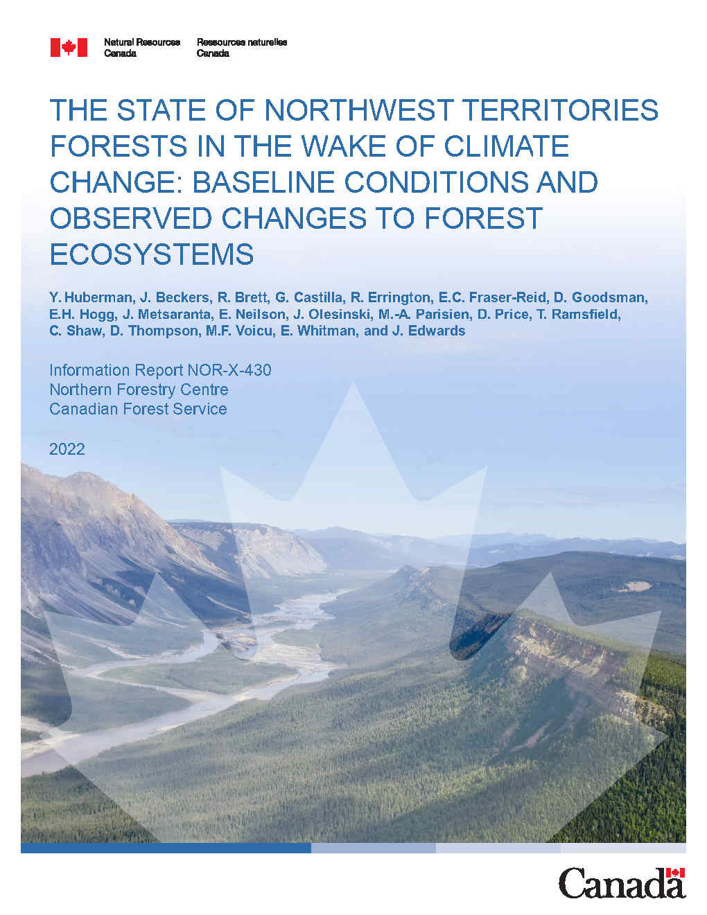
Resource
Authors
Y. Huberman
J. Beckers
R. Brett
G. Castilla
R. Errington
E.C. Fraser-Reid
D. Goodsman
E.H. Hogg
J. Metsaranta
E. Neilson
J. Olesinski
M.-A. Parisien
D. Price
T. Ramsfield
C. Shaw
D. Thompson
M.F. Voicu
E. Whitman
J. Edwards
The climate in Canada’s north has changed over the past 70 years. Indeed, mean annual temperature in the Northwest Territories has increased by 2°C to 4°C since record keeping began in 1950. Annual...
Resource
Authors
David Beauchesne
Jochen Jaeger
Martin-Hugues St-Laurent
Resource Date:
March
2014
This resource is available on an external database and may require a paid subscription to access it. It is included on the CCLM to support our goal of capturing and sharing the breadth of all...
Resource
Authors
Karine Pigeon
Meghan Anderson
Doug MacNearney
Jerome Cranston
Gordon Stenhouse
Laura Finnegan
This resource is available on an external database and may require a paid subscription to access it. It is included on the CCLM to support our goal of capturing and sharing the breadth of all...
Project
Project Description: Dismantling 30 km of forest roads. They test different techniques including soil preparation and planting trees. It was to test the operational feasibility and identify cost...