Land Management Search Results
Resource
Authors
Jay Woosaree
Bruce Anderson
Reclamation in the oil sands in Alberta is a high priority and can be challenging. Suncor Energy is in the process of reclaiming one of its consolidated tailings (CT) ponds (Pond 5). The CT is being...
Resource
Authors
Warren Kindzierski
J. Jin
Mohamed Gamal El-Din
A review of literature was undertaken as a first step in framing potential human health risk associated with exposure to OSPW-derived naphthenic acids in surface water
Resource
Authors
Christine Daly
Bruce Anderson
Ainsley Campbell
Fred Kuzmic
A Riparian Classification and Reclamation Guide (‘Riparian Guide’) was recently produced to direct the re-establishment of riparian ecosystems in areas disturbed by oil sands mining in Alberta, Canada
Resource
Authors
NAIT Centre for Boreal Research
This publication provides a valuable guide for reclamation practitioners and technicians through the documents that regulate plant deployment for reclamation in northwestern Alberta and to provide...
Resource
Authors
NAIT Centre for Boreal Research
Upon abandonment, wellsites must be reclaimed to the standards as described in Alberta’s 2010 Reclamation Criteria for Wellsites and Associated Facilities in Forested Lands. The initial planning and...
Resource
This study examined three pervasive issues that impacted native ecosystems. Numerous land use practices including oil and gas activities have led to the modification of native grasslands both the...
Resource
Authors
Oil Sands Research and Information Network
Canadian Environmental Assessment Agency
Develop common understanding of the current knowledge regarding groundwater resources, groundwater-surface water interactions in the oil sands area, ongoing applied research, monitoring and impacts
Resource
Winter planting of frozen black spruce seedlings was studied in a northern Alberta wetland supported by the Oil Sand Leadership Initiative (OSLI) Land Stewardship Working Group, comprised of...
Resource
Authors
Janice Paskey
Gillian Steward
A clear majority of journalists said that there are many stories about the oil sands that go unreported and many of these unreported stories have to do with environmental issues
Resource
Authors
David McNabb
Jean-Marie Sobze
Amanda Schoonmaker
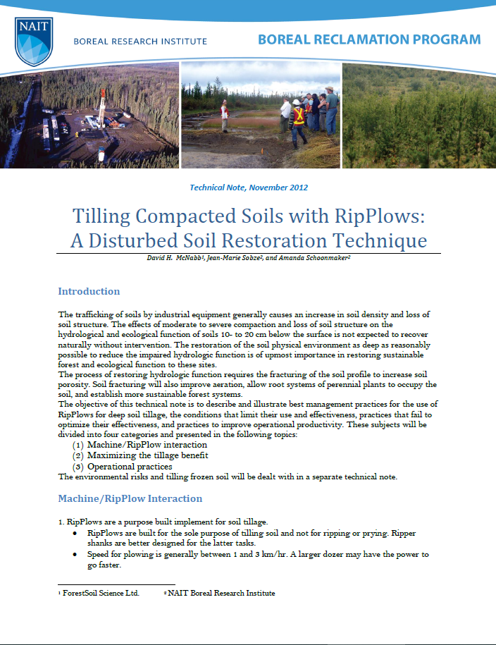
The trafficking of soils by industrial equipment generally causes an increase in soil density and loss of soil structure. The effects of moderate to severe compaction and loss of soil structure on the...
Resource
Authors
David McNabb
Jean-Marie Sobze
Amanda Schoonmaker
Resource Date:
November
2012
The trafficking of soils by industrial equipment generally causes an increase in soil density and loss of soil structure. The effects of moderate to severe compaction and loss of soil structure on the...
Resource
Authors
David McNabb
Jean-Marie Sobze
Amanda Schoonmaker
Frozen soils are the most difficult soils to till and many cannot be plowed with RipPlows or require some specific practices to increase the probability of success. The depth of frozen soil that...
Resource
Video tutorial that lays out the field sampling process for reclaimed wetland assessment from start to finish in easy-to-follow steps and visually clarifies how protocols should be enacted
Resource
Resource Date:
March
2012
This presentation discusses the different ways that LiDAR data can be effectively used in forestry management applications.
Resource
Resource Date:
March
2012
Barry White discusses the ways LiDAR is being used by departments within the government of Alberta.
Resource
Resource Date:
March
2012
This presentation discusses ways that LiDAR data can be used in forestry management, including for mapping mountain pine beetle infestations.
Resource
Resource Date:
March
2012
This presentation discusses using airborne LiDAR data on monitoring projects with the federal and provincial government. Data collection and data extraction are reviewed.
Resource
Resource Date:
March
2012
This presentation discusses how to use LiDAR data, in particular for forestry, but also for other government and industry applications.
Resource
Resource Date:
March
2012
Jae Ogilvie presents on his group's research related to the use of Wet Areas Mapping data to predict the flow of contaminants from the Rainbow pipeline spill in northern Alberta in 2011.
Resource
Authors
Alexey Klyashtorin
Tamara Yankovich
The Gunnar Mine site is part of a cleanup project, Project CLEANS (Cleanup of Abandoned Northern Sites), managed by the Saskatchewan Research Council (SRC). Significant progress was made at Gunnar...