Wetlands Knowledge Search Results
Resource
Pasquia-Bog Woodland Caribou Range Plan - version as recommended to Canadian Boreal Forest Agreement Secretariat.
Resource
Authors
Frank Miller
Samuel Barry
Wendy Calvert
The islands of the Canadian Arctic Archipelago lie immediately north of mainland North America in the Arctic Ocean. They are surrounded by ice for most of each year. Caribou (Rangifer tarandus) cross...
Resource
Authors
Amanda Schoonmaker
Catherine Brown
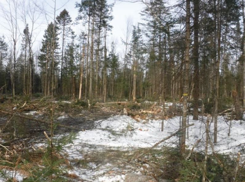
The practice of mulching forested sites for industrial activities during winter operations is a useful construction practice as it minimizes soil disturbance by protecting the forest floor. However...
Resource
Authors
Alberta Soils Advisory Committee
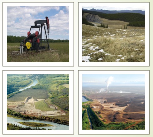
Land disturbances due to resource extraction and transport are intended to be only temporary disruptions to the normal use of land for food and fiber production or for recreation. Although no two...
Resource
Authors
Nelson Thiffault
Patricia Raymond
Jean-Martin Lussier
Isabelle Aubin
Samuel Royer-Tardif
Anthony D’Amato
Frédérik Doyon
Benoit Lafleur
Martin Perron
Jean Bousquet
Nathalie Isabel
Sylvie Carles
Patrick Lupien
Annie Malenfant
As part of the Carrefour Forêts 2019 Conference, the forest research branch of Quebec’s Ministère des Forêts, de la Faune et des Parcs and the Canadian Wood Fibre Centre of Natural Resources Canada...
Resource
The Boreal Caribou Ecological Model is a conceptual model which illustrates the key ecosystem factors, mechanisms, pathways and interactions mediating the well known national disturbance-recruitment...
Resource
Authors
Guillermo Castilla
Ronald Hall
Rob Skakun
Michelle Filiatrault
André Beaudoin
Michael Gartrell
Lisa Smith
Kathleen Groenewegen
Chris Hopkinson
Jurjen van der Sluijs
Resource Date:
February
2022
Wall-to-wall 30 m raster maps of broad forest type, stand height, crown closure, stand volume, total volume, aboveground biomass, and stand age were created for a ~400,000 km2 area, validated with independent data, and generalized into a polygon GIS layer resembling a traditional FI map. The MVI project showed that a reasonably accurate FI map for large, remote, predominantly non-inventoried boreal regions can be obtained at a low cost by combining limited field data with remote sensing data from multiple sources.
Resource
Authors
Chris Powter
Tanya Richens
Andy Etmanski
Amanda Schoonmaker
Dean MacKenzie
At the 2023 Alberta Chapter, Canadian Land Reclamation Association annual conference, Chris Powter, Tanya Richens, Andy Etmanski, Amanda Schoonmaker, and Dean MacKenzie participated in a panel...
Resource
Tree species employ a variety of strategies in response to climate change. When faced with a stressor (drought, fire or changes in growing conditions), species can either tolerate its effects, avoid...
Resource
Authors
Bev Gingras
Jules Lebeouf
Kylie McLeod
Leanne Mingo
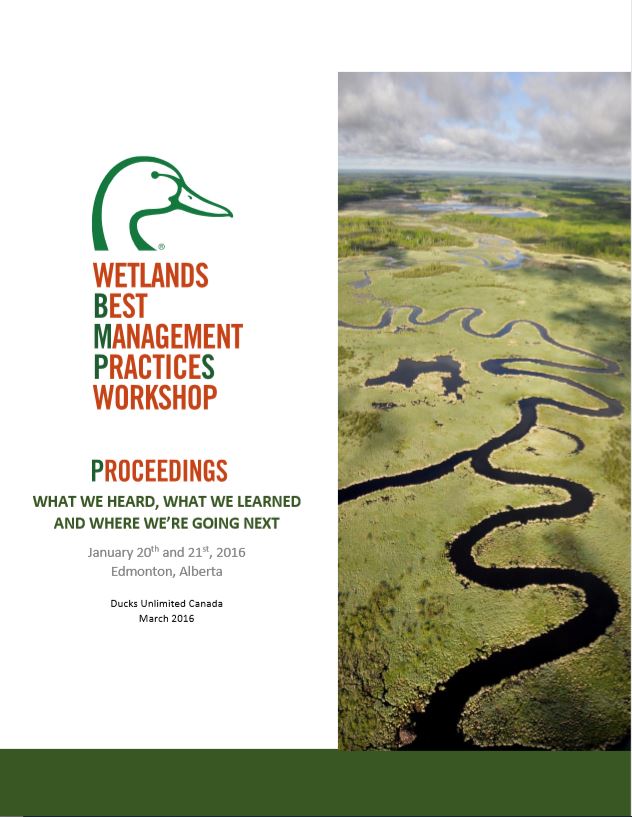
These proceedings describe the findings of the Wetland Best Management Practices (BMPs) Workshop held on January 20th & 21st 2016 in Edmonton, Alberta hosted by Ducks Unlimited Canada.