
Search Results
Displaying:
1 - 11 of 11
A Long Time Ago in the Future: Caribou and The People of Ungava: Ungava Peninsula Caribou Aboriginal Round Table
Resource
The Indigenous Peoples of Ungava self-organized into the Ungava Peninsula Caribou Aboriginal Round Table (“UPCART” or “the Round Table”) in early 2013. For the first time in human history the Peoples...

Continental Synchrony and Local Responses: Climatic Effects on Spatiotemporal Patterns of Calving in a Social Ungulate
Resource
Warming temperatures and advancing spring are affecting annual snow and ice cycles, as well as plant phenology, across the Arctic and boreal regions. These changes may be linked to observed population...

Factors Contributing to the Cultural and Spatial Variability of Landscape Burning by Native Peoples of Interior Alaska
Project
Organization:
In this project, a multidisciplinary research team, together with native community partners, analyzed patterns of human-fire interaction over time and then stratified the predominant anthropogenic...

Factors Contributing to the Cultural and Spatial Variability of Landscape Burning by Native Peoples of Interior Alaska
Resource
This article analyzes the geographical extent to which native peoples of Interior Alaska used fire to modify the landscape at the time of European contact. Although wildfire has been central to the...
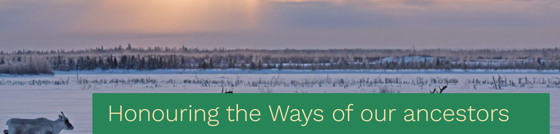
Honouring the ways of our ancestors, the Cree and Innu Nations sign a traditional understanding built from the customary values of sharing, sustainable harvest and respect for the caribou
News
Organization
The Maamuu nisituhtimuwin/ Matinueu-mashinaikan atik u e uauinakanit establishes mutually agreed upon terms by which Innu communities in Québec will be able to access caribou within the Cree...
Integrating Coastal Vulnerability and Community-Based Subsistence Resource Mapping in Northwest Alaska
Project
Organization:
This project integrates physical, anthropological, and survey data to assess coastal vulnerability and to identify areas of concern for local and regional planning and environmental protection. This...
Integrating Coastal Vulnerability and Community-Based Subsistence Resource Mapping in Northwest Alaska
Resource
This resource is available on an external database and may require a paid subscription to access it. It is included on the CCLM to support our goal of capturing and sharing the breadth of all...
Microtopography Matters: Belowground CH4 Cycling Regulated by Differing Microbial Processes in Peatland Hummocks and Lawns
Resource
This resource is available on an external database and may require a paid subscription to access it. It is included on the CCLM to support our goal of capturing and sharing the breadth of all...

The Third Generation of Pan-Canadian Wetland Map at 10 m Resolution Using Multisource Earth Observation Data on Cloud Computing Platform
Resource
Development of the Canadian Wetland Inventory Map (CWIM) has thus far proceeded over two generations, reporting the extent and location of bog, fen, swamp, marsh, and water wetlands across the country...
