
Search Results
Displaying:
1 - 20 of 33
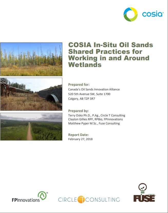
COSIA In-Situ Oil Sands Shared Practices for Working in and Around Wetlands
Resource
This report compiles a toolbox of shared practices currently in use by COSIA companies, or which have been used but were found to be unsuccessful.
IUCN UK Peatland Programme Conference
Event
Event Date and Time
October 3rd, 2023 at 8:00am to October 5th, 2023 at 5:00pm
Our annual conference series presents opportunities for the UK peatland community- policy makers, scientists, land managers and practitioners to share their knowledge, experience and enthusiasm of...
Less Flammable Vegetation for Linear Industry Rights-‐of-‐way
Resource
FPInnovations launched a multi-year study to determine whether a less-flammable, herbaceous species could replace the flammable grasses that typically colonize linear ROWs

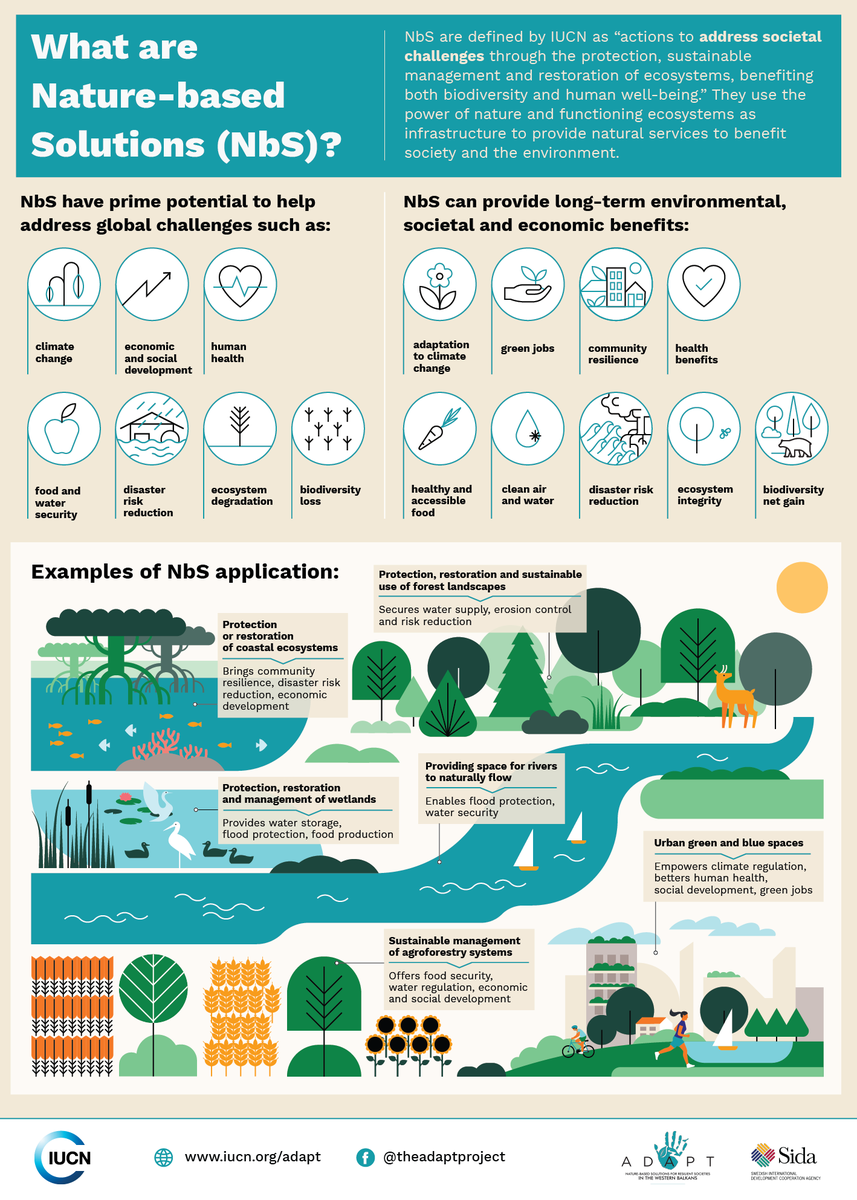
Nature-based Solutions
Resource
Nature-based Solutions leverage nature and the power of healthy ecosystems to protect people, optimise infrastructure and safeguard a stable and biodiverse future. Explore topics related to Nature...
Podcast - Shift talks Sacred Science with Alvin First Rider, Brett Purdy, and Emily Herdman
Resource
Alvin First Rider speaks about his nation's use western science alongside Indigenous Knowledge to bring buffalo back to their historical plains.

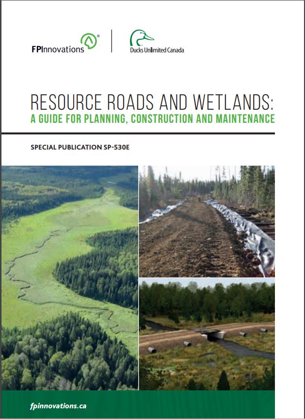
Resource Roads and Wetlands: A Guide for Planning, Construction, and Maintenance
Resource
This guide contains best management practices that help plan, construct and maintain resource roads in forested environments in order to maintain the movement of water in wetlands.
Resource Roads and Wetlands: Practical Applications to Maintain Hydrologic Connectivity
Resource
This presentation highlights planning and operations applications of water management techniques for resource roads crossing wetlands.

Sacred Science Video Series
Project
Organization:
Bringing together Indigenous knowledge and western science creates opportunities for new solutions to environmental challenges, including issues that are important to Indigenous People. The Sacred...
The Effects of Black Spruce Fuel Management on Surface Fuel Condition and Peat Burn Severity in an Experimental Fire
Resource
This resource is available on an external database and may require a paid subscription to access it. It is included on the CCLM to support our goal of capturing and sharing the breadth of all...

Update on the Global Status of Wild Reindeer and Caribou
Resource
Rangifer tarandus (wild reindeer or caribou) is an abundant and widely distributed member of the deer family across the circum-arctic tundra and boreal forests. Rangifer through its sheer numbers has...

Video - Assessing Cumulative Ecological Effects: The Changing Management Landscape
Resource
Jim Schieck discusses how cumulative effects are currently being assessed in Alberta.

Video - Assessment of forest attributes using airborne and terrestrial LiDAR
Resource
This presentation discusses the different ways that LiDAR data can be effectively used in forestry management applications.

Video - Blood Tribe Buffalo Restoration Project
Resource
Members of the Káínawa – or Blood Tribe – are applying training in western science, alongside their Indigenous Knowledge, to bring buffalo back to their historical habitat in southern Alberta, the...

Video - Building a Sustainable Alberta Through Deployment of LiDAR Technologies: Reflections from an SRD perspective
Resource
Barry White discusses the ways LiDAR is being used by departments within the government of Alberta.

Video - Caribou Conservation Project
Resource
The Denesųłiné of Cold Lake First Nations (CLFN) are applying both their Indigenous Knowledge and expertise in western science to develop and implement diverse caribou conservation strategies in...

Video - Enhanced Fuel Mapping for Wildfire Management
Resource
This presentation discusses ways that LiDAR data can be used in forestry management, including for mapping mountain pine beetle infestations.

Video - Feature Extraction from Multisensor Airborne Data: Monitoring of large-scaled industrial activity on the natural landscape
Resource
This presentation discusses using airborne LiDAR data on monitoring projects with the federal and provincial government. Data collection and data extraction are reviewed.

Video - From Point Cloud to Supporting Decisions: Making use of your LiDAR data
Resource
This presentation discusses how to use LiDAR data, in particular for forestry, but also for other government and industry applications.
