
Search Results
Displaying:
1 - 17 of 17
Controls on Methylmercury Concentrations in Lakes and Streams of Peatland-Rich Catchments Along a 1700 km Permafrost Gradient
Resource
Permafrost thaw may increase the production of neurotoxic methylmercury (MeHg) in northern peatlands, but the downstream delivery of MeHg is uncertain. We quantified total mercury (THg) and MeHg...

Early Successional Wildlife Monitoring on Reclamation Plots in the Athabasca Oil Sands Region
Resource
Pilot study to assess the use of early successional stands (i.e. those ranging in age from 4 to 17 years) by wildlife (songbirds, small mammals, and ungulates), using a wildlife monitoring protocol

Large Stocks of Peatland Carbon and Nitrogen are Vulnerable to Permafrost Thaw
Resource
Northern peatlands have accumulated large stocks of organic carbon (C) and nitrogen (N), but their spatial distribution and vulnerability to climate warming remain uncertain. Here, we used machine...
Microtopography Matters: Belowground CH4 Cycling Regulated by Differing Microbial Processes in Peatland Hummocks and Lawns
Resource
This resource is available on an external database and may require a paid subscription to access it. It is included on the CCLM to support our goal of capturing and sharing the breadth of all...

Reclamation Monitoring in the Athabasca Oil Sands Region of Canada Using a Long-term Plot Network
Resource
A long-term plot network would allow the monitoring data to describe the ecological condition of the reclaimed lands and define appropriate management strategies for achieving revegetation goals

Red Deer River Watershed Alliance - AGM
Event
Red Deer, AB
Organization
The Red Deer River Watershed Alliance invites you to join us for our Annual General Meeting on Thursday, June 27nd. This event is being held at the River Bend Golf Course from 2:00 pm – 5:00 pm . We...
The Boreal-Arctic Wetland and Lake Dataset
Resource
Here we present the Boreal–Arctic Wetland and Lake Dataset (BAWLD), a land cover dataset based on an expert assessment, extrapolated using random forest modelling from available spatial datasets of...
The Third Generation of Pan-Canadian Wetland Map at 10 m Resolution Using Multisource Earth Observation Data on Cloud Computing Platform
Resource
Development of the Canadian Wetland Inventory Map (CWIM) has thus far proceeded over two generations, reporting the extent and location of bog, fen, swamp, marsh, and water wetlands across the country...
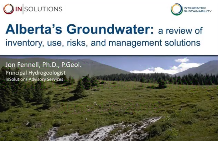
Video - Alberta's Groundwater: Inventory, Use, Risks, and Management Solutions
Resource
This 2016 talk provides an overview of some of the issues related to groundwater in Alberta.
Video - Aquatic Invasive Species: The Alberta Approach & Program Highlights
Resource
Kate Wilson explains how Alberta is dealing with managing invasive species, and how the process is going.

Video - Do you know your watershed? Learning about the Red Deer River
Resource
This presentation discusses what watershed education looks like in the Red Deer River watershed.

Video - Too Much and Too Little Water, Adaptation Strategies for Municipalities
Resource
This presentation discusses explains how climate change and land use changes impact water supply and how we can adapt.

Video - Watershed Management Planning in the Red Deer River Basin
Resource
This presentation outlines the Red Deer River Watershed Alliance's process for watershed planning.

Wildlife Usage Indicates Increased Similarity Between Reclaimed Upland Habitat and Mature Boreal Forest in the Athabasca Oil Sands Region of Alberta, Canada
Resource
Degree of similarity suggests that comparable ecological functionality is possible, increasing probability that oil sands operators will fulfill their regulatory requirement reclaim wildlife habitat
