
Search Results
Displaying:
1 - 12 of 12
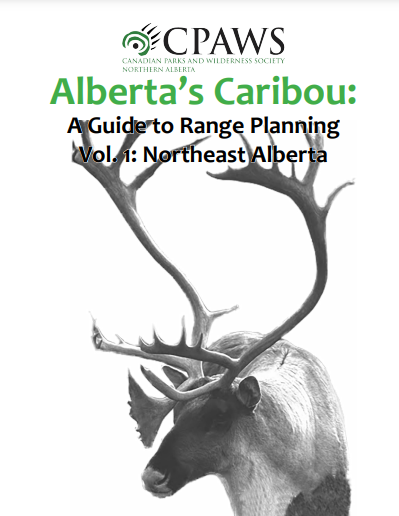
Alberta’s Caribou: A Guide to Range Planning Vol. 1: Northeast Alberta
Resource
This document is a ground-level look at boreal woodland caribou in northeastern Alberta: their status, their habitat, the pressures they face, and what is needed for their recovery in this province...
Biogeochemical Response to Vegetation and Hydrologic Change in an Alaskan Boreal Fen Ecosystem
Resource
Boreal peatlands store approximately one third of the earth’s terrestrial carbon, locked away in currently waterlogged and frozen conditions. Peatlands of boreal and arctic ecosystems are affected...

CBFA/FPAC, Pasquia-Bog Caribou Conservation Plan
Project
Contact
Organization:
Project Description:The Pasquia-Bog area was assessed by reviewing best available caribou Indigenous Knowledge and western science information to characterize the caribou range and draft an...

Indigenous Communities Leading the Way for Woodland Caribou Recovery in Canada - A 2015 Review of Indigenous-led Action Plans
Resource
Most populations of caribou across Canada are now in decline and as caribou management challenges are increasing in their complexity and breadth, so too are the concerns of a variety of stakeholders...

'Mothers of the Mountains' - Film Screening
Event
Organization
Join CPAWS Northern Alberta for a screening of the film "Mothers of the Mountains" with artist Caitlin Bodewitz. The film illustrates the integration of traditional knowledge with western science to...
Peat Loss Collocates with a Threshold in Plant–Mycorrhizal Associations in Drained Peatlands Encroached by Trees
Resource
Drainage-induced encroachment by trees may have major effects on the carbon balance of northern peatlands, and responses of microbial communities are likely to play a central mechanistic role. We...

Protected Areas as a Nature-Based Climate Solution
Resource
Canada can leverage nature as an important tool towards reducing its greenhouse gas (GHG) emissions by increasing the protection of key ecosystems, such as: northern peatland complexes in the Hudson...

The Third Generation of Pan-Canadian Wetland Map at 10 m Resolution Using Multisource Earth Observation Data on Cloud Computing Platform
Resource
Development of the Canadian Wetland Inventory Map (CWIM) has thus far proceeded over two generations, reporting the extent and location of bog, fen, swamp, marsh, and water wetlands across the country...