Ressources de connaissances sur les terres humides
Ressource
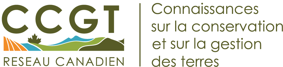
Angling catch rates of Walleyes (Sander vitreus) have increased in the past 20 years following their collapse and then recovery after implementation of restrictive harvest regulations. With increased...
Ressource
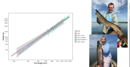
Knowledge gaps concerning how various human activities combine to impact freshwater ecosystems can result in reported damaging “ecological surprises.” Although ecological surprises are typically...
Ressource
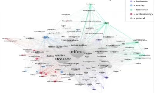
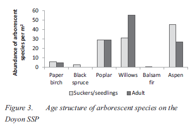
The Mackenzie River Basin, encompassing much of boreal Alberta, is the third largest boreal peatland region in the world and the region is warming at rate much greater than the global average. Climate...
Ressource
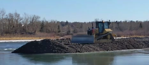
River construction is a common practice in built environments near rivers, such as cities, pipeline or highway crossings, or other structures within river channels. These activities will disturb fine...
Ressource
Cold Lake First Nation has been working with the Airshed and Watershed Stewardship Branch in the Indigenous Lake Monitoring Program since 2017. The long-term goal of this program is to support shared...
Ressource
This interactive Story Map summarizes the top conservation topics of 2023 on the CCLM portal and the CCLM Knowledge Exchange program activities of 2023.
Ressource
Author(s)
Evgeniya Smirnova
Isabelle Demers
Medard Bouda
Mostafa Benzaazoua
Mamert Mbonimpa
Guylaine Bois
The use of the lime neutralization process is a common technique to treat acid mine drainage (AMD) generated by sulphidic mine wastes. The AMD-contaminated water collected on the mine site is...
Ressource
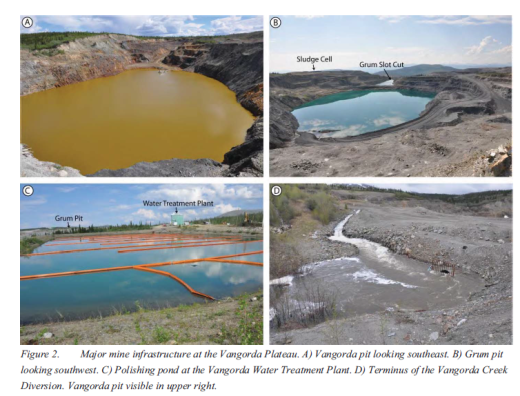
The Vangorda Plateau at the Faro Mine Complex contains two open pits that, starting in 2013, will both require dewatering. Since mine abandonment in 1998, water levels in Vangorda pit have been...
Ressource
The Oil Sands Research and Information Network (OSRIN) is a university-based, independent organization that compiles, interprets and analyses available knowledge about managing the environmental...
Ressource
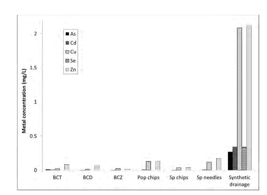
Passive biological treatments have been proposed as a possible efficient and cost effective treatment method for metal bearing water discharged from mine sites after closure. Several biofilters are...