Ressources de connaissances sur les terres humides
Ressource
Resource Date:
November
2023
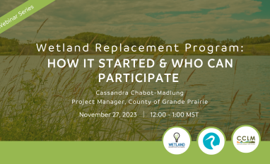
Cassandra Chabot-Madlung, County of Grande Prairie presents - Wetland Replacement Program: How it Started & Who Can Participate. This is a Municipal viewpoint of Alberta Environment and Protected...
Ressource
Author(s)
Egle Köster
Jack Chapman
Janna Barel
Aino Korrensalo
Anna Laine
Harri Vasander
Eeva‐Stiina Tuittila
Resource Date:
August
2023
Abstract Climate warming and projected increase in summer droughts puts northern peatlands under pressure by subjecting them to a combination of gradual drying and extreme weather events. The combined...
Ressource
Author(s)
Angelo Filicetti
Jesse Tigner
Scott Nielsen
Katherine Wolfenden
Murdoch Taylor
Paula Bentham
Resource Date:
November
2023
Seismic lines, linear features originating from the oil and gas industry for energy exploration, pose a substantial management challenge due to their collective impact on biogeochemical cycles, plant...
Ressource
Author(s)
Jonathan Price
Owen Sutton
Colin McCarter
William Quinton
James Waddington
Pete Whittington
Maria Strack
Richard Petrone
Resource Date:
November
2023
Wetlands are an integral part of the Canadian landscape, providing crucial ecohydrological services with globally significant benefits. Over the past 75 years, Canadian scientists have emerged as...
Ressource
Author(s)
Wendy MacKeigan
Alex Mifflin
Tyler Mifflin
Samantha Blake
Jacob Thompson
Nick Koro
Resource Date:
November
2023
Wetlands are the most diverse and ecologically important ecosystems in Ontario. They help purify water, control floods, reduce erosion and fight climate change. They provide critical habitat for...
Ressource
Author(s)
Wendy MacKeigan
Alex Mifflin
Tyler Mifflin
Samantha Blake
Jacob Thompson
Nick Koro
Resource Date:
November
2023
Canada's Boreal Forest is the largest intact terrestrial, ecosystem remaining on Earth. It is an irreplaceable stronghold of nature that benefits every corner of the planet, whether through its...
Ressource
Resource Date:
November
2023
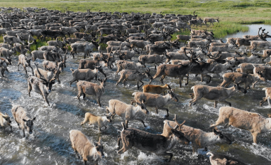
The Wetland Knowledge Exchange releases monthly newsletters that highlight new research, publications, news, interesting facts, events and more. In this edition you will learn about: The Arctic...
Ressource
Author(s)
Ting Sun
Brian Branfireun
Abstract Plant foliage plays an essential role in accumulating mercury (Hg) from the atmosphere and transferring it to soils in terrestrial ecosystems, and many studies have focused on forested...
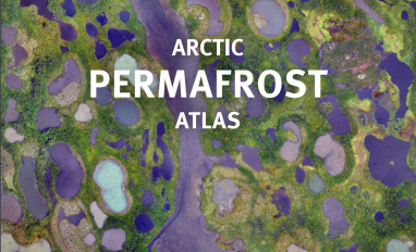
Ressource
Author(s)
GRID-Arendal
Levi Westerveld
Tiina Kurvits
T. Schoolmeester
Oda Mulelid
Torjus Eckhoff
Pier Overduin
Michael Fritz
Hugues Lantuit
Björn Alfthan
A. Sinisalo
Frederieke Miesner
L.-K. Viitanen
NUNATARYUK Consortium
Resource Date:
October
2023
This atlas is an attempt to translate and consolidate the available knowledge on permafrost. It is a timely book suffused with the compelling enthusiasm of its authors and contributors. Close to a...
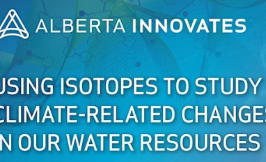
Ressource
Author(s)
Tricia Stadnyk
John Gibson
Francisco Castrillon
Bernhard Mayer
The impacts of climate change can be clearly seen in our water resources. In Alberta, water quality is changing, and water supply is more variable and increasingly uncertain due to extreme weather...