Boreal Caribou Search Results
Resource
Potential for using satellite imagery to determine water quality parameters in the southwest end of Lake Athabasca and provide a mathematical model capable of simulating the circulation patterns
Resource
Measuring variability in natural processes requires rigorous data collection and could increase the cost of environmental monitoring for oil and gas operators. Recent advances in remote-sensing and...
Resource
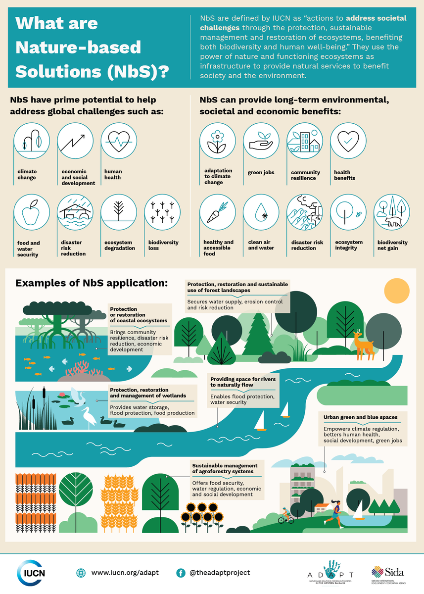
Nature-based Solutions leverage nature and the power of healthy ecosystems to protect people, optimise infrastructure and safeguard a stable and biodiverse future. Explore topics related to Nature...
Resource
Authors
Northern River Basins Human Health Monitoring Program Management Committee
Three part report: 1. Summary of ecological findings from the NRBS; 2. Summary of the Health Program; and 3. Recommendations for further studies in the Northern River Basins
Resource
Authors
Eddy Carmack
Peter Killworth
Emphasis is placed on processes influencing temporal and spatial patterns in circulation, stratification and saline water distributions. Owing to its density, the high salinity effluent tends to sink
Resource
Authors
Craig Mahoney
Joshua Montgomery
Stephanie Connor
Danielle Cobbaert
Abstract Boreal wetlands within the oil sands region of Alberta, Canada, are subject to natural and anthropogenic pressures, resulting in the need for monitoring these sensitive ecosystems to ensure...
Resource
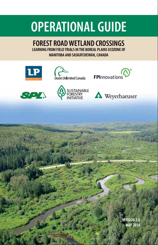
This guide provides information and guidance on how to plan and construct resource road wetland crossings in Canada's boreal plains.
Resource
Authors
Peter McLaren
Judith Smith
Overall objectives of this study were to determine the abundance and diversity of terrestrial breeding birds and conduct waterbird inventories to determine what changes, if any, have occurred
Resource
The area does not appear to include any rare or endangered species and the habitats in the area are common to a large portion of Northern Alberta, therefore area is not critical to any wildlife specie
Resource
Authors
Camille Defrenne
Jessica Moore
Colin Tucker
Louis Lamit
Evan Kane
Randall Kolka
Rodney Chimner
Jason Keller
Erik Lilleskov
Drainage-induced encroachment by trees may have major effects on the carbon balance of northern peatlands, and responses of microbial communities are likely to play a central mechanistic role. We...
Resource
Resource Date:
September
2023
Although peatlands cover only 3% of the world's land, they store about twice as much carbon as in the biomass of all the world's forests combined. Thus, they are incredibly important especially for...
Resource
Authors
Earl De Guzman
Marolo Alfaro
Two test sections along a newly constructed road embankment on peat foundations were instrumented to investigate their performance and to develop more economical means of construction method.
Resource
Physical changes evident at tributary confluences were Secchi visibility, current velocity, and flow direction. At the tributary mouths, sand and silt substrates were predominant in sheltered areas
Resource
Resource Date:
January
2016
This presentation covers various best practices and new techniques that can be implemented in the planning, construction and reclamation stages of in-situ oil sands operations.
Resource
Crude average bear density for the AOSERP study area, including water areas, was 0.18 per km2 assuming total avoidance of muskeg areas and 0.25 per km2 assuming use of muskeg
Resource
Authors
Shauna-Lee Chai
Amy Nixon
Scott Nielsen
Assessed 16 potentially new invasive plant species not yet present in Alberta for their invasiveness and climate change-related risk
Resource
Authors
Eric Kessel
Owen Sutton
Jonathan Price
Given the potential for moisture limited conditions due to the sub-humid regional climate, ensuring sufficient water availability in these landscapes is a principal concern. This research demonstrates...
Resource
Relative abundance and spatial distribution of moose, deer and 13 species of furbearers were investigated by systematic aerial surveys and winter track counts along 215 km of established transect line
Resource
Authors
Alberta Health, Environmental Health Services Division
On May 30, 1968 G.C.O.S requested permission to discharge 110 x 106 ft3 of effluent from the sands tailings pond at the Fort McMurray site into the Athabasca River during periods of high river flow
Resource
Authors
A. Brown
M.J. Kent
J.O. Park
R.D. Roberts
3 aspects of aquatic habitat assessment and mapping. 1 - review of the parameters which characterize aquatic habitats. 2 - efficient procedure for collecting the data. 3 - computer mapping techniques