
Search Results
Displaying:
1 - 20 of 28
A Tale of Two Roads: Consequences of Peat Conditions and Construction Practices on Peatland Effects, Reclaimability, and Best Practice Development
Resource
This talk explores what needs to inform road construction decisions, including evaluating where roads should be built and what practices should be used based on peat conditions.

Comparison of Site Preparation and Revegetation Strategies within a Sphagnum-Dominated Peatland Following Removal of an Oil Well Pad
Resource
This resource is available on an external database and may require a paid subscription to access it. It is included on the CCLM to support our goal of capturing and sharing the breadth of all...

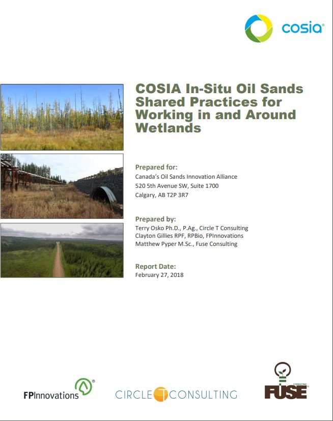
COSIA In-Situ Oil Sands Shared Practices for Working in and Around Wetlands
Resource
This report compiles a toolbox of shared practices currently in use by COSIA companies, or which have been used but were found to be unsuccessful.
Planning for Wetland Function and Reclamation Success in Road Design
Resource
This research poster describes an overview of technical methods, peat properties and considerations, and development outcomes for linear feature (road) construction planning and development. Presented...

Podcast - Shift talks Sacred Science with Alvin First Rider, Brett Purdy, and Emily Herdman
Resource
Alvin First Rider speaks about his nation's use western science alongside Indigenous Knowledge to bring buffalo back to their historical plains.

Sacred Science Video Series
Project
Organization:
Bringing together Indigenous knowledge and western science creates opportunities for new solutions to environmental challenges, including issues that are important to Indigenous People. The Sacred...
Spatial Variation in Nutrient Dynamics Among Five Different Peatland Types in the Alberta Oil Sands Region
Resource
Wetlands are found extensively throughout the Western Boreal Plain, a region under pressure because of disturbance by the oil and gas industries. To understand how wetland systems may respond to...

The Third Generation of Pan-Canadian Wetland Map at 10 m Resolution Using Multisource Earth Observation Data on Cloud Computing Platform
Resource
Development of the Canadian Wetland Inventory Map (CWIM) has thus far proceeded over two generations, reporting the extent and location of bog, fen, swamp, marsh, and water wetlands across the country...

Video - Assessing Cumulative Ecological Effects: The Changing Management Landscape
Resource
Jim Schieck discusses how cumulative effects are currently being assessed in Alberta.

Video - Assessment of forest attributes using airborne and terrestrial LiDAR
Resource
This presentation discusses the different ways that LiDAR data can be effectively used in forestry management applications.

Video - Blood Tribe Buffalo Restoration Project
Resource
Members of the Káínawa – or Blood Tribe – are applying training in western science, alongside their Indigenous Knowledge, to bring buffalo back to their historical habitat in southern Alberta, the...

Video - Building a Sustainable Alberta Through Deployment of LiDAR Technologies: Reflections from an SRD perspective
Resource
Barry White discusses the ways LiDAR is being used by departments within the government of Alberta.

Video - Caribou Conservation Project
Resource
The Denesųłiné of Cold Lake First Nations (CLFN) are applying both their Indigenous Knowledge and expertise in western science to develop and implement diverse caribou conservation strategies in...

Video - Enhanced Fuel Mapping for Wildfire Management
Resource
This presentation discusses ways that LiDAR data can be used in forestry management, including for mapping mountain pine beetle infestations.

Video - Feature Extraction from Multisensor Airborne Data: Monitoring of large-scaled industrial activity on the natural landscape
Resource
This presentation discusses using airborne LiDAR data on monitoring projects with the federal and provincial government. Data collection and data extraction are reviewed.

Video - From Point Cloud to Supporting Decisions: Making use of your LiDAR data
Resource
This presentation discusses how to use LiDAR data, in particular for forestry, but also for other government and industry applications.

Video - High Resolution Inventories Using LiDAR: Challenges and opportunities
Resource
This presentation discuss a pilot project done with Spray Lakes Sawmill FMA related to doing plot inventories using LiDAR.

Video - LiDAR Data Capture and Analysis Standards
Resource
This presentation discusses some of the issues with data collection and analysis that could lead users to require standards.
