
Search Results
Displaying:
1 - 20 of 28
A Map of Global Peatland Extent Created Using Machine Learning (Peat-ML)
Resource
Peatlands play an integral role in the global carbon and hydrologic cycles and make up 3% of the Earth’s total landscape. Despite their importance, there is a lack of accurate information on the...

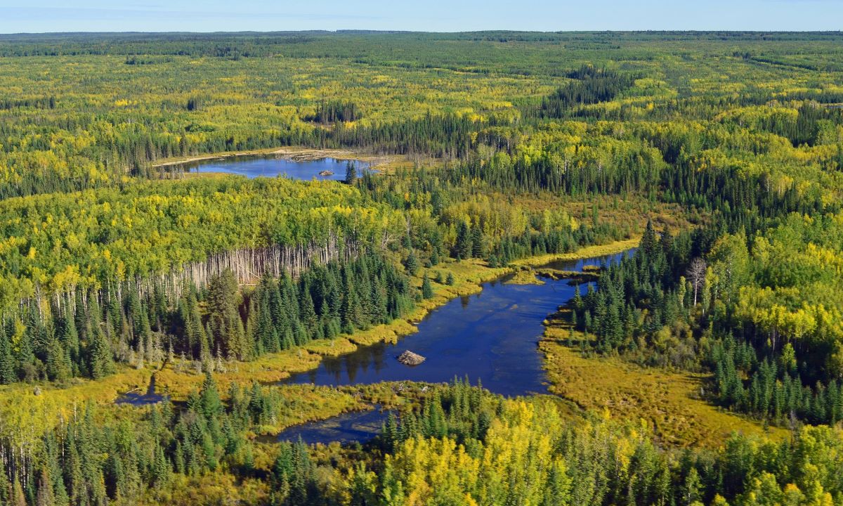
Canadian Wetland Inventory using Google Earth Engine: The First Map and Preliminary Results
Resource
Although wetlands provide valuable services to humans and the environment and cover a large portion of Canada, there is currently no Canada-wide wetland inventory based on the specifications defined...

CAN-SAR: A Database of Canadian Species at Risk Information
Resource
Threatened species lists describe the conservation status of species and are key tools used to inform decisions for biodiversity conservation. These lists are rich in information obtained during...

Denitrification Potential of Surface Soils of Constructed Wetlands in Newtown Creek, an Urban Superfund Site
Resource
Denitrification, the anaerobic microbial conversion of nitrate (NO 3 −), a common water pollutant, to nitrogen (N) gases, is often high in the soil of natural wetlands. In areas where natural wetlands...

Dietary Reconstruction and Evidence of Prey Shifting in Pleistocene and Recent Gray Wolves (Canis lupus) From Yukon Territory
Resource
We investigate if and how diets of gray wolves from the Yukon have changed from the Pleistocene to the recent Holocene using dental microwear analysis of carnassial teeth and stable isotope analyses
Effects of Narrow Linear Disturbances on Light and Wind Patterns in Fragmented Boreal Forests in Northeastern Alberta
Resource
Forest fragmentation threatens forest biodiversity and ecosystem function. One of the concerns relates to increases in edge effects, which among other things affects the forest microclimate that...
Increasing Contributions of Peatlands to Boreal Evapotranspiration in a Warming Climate
Resource
The response of evapotranspiration (ET) to warming is of critical importance to the water and carbon cycle of the boreal biome, a mosaic of land cover types dominated by forests and peatlands. The...
Inuit Approaches to Naming and Distinguishing Caribou: Considering Language, Place, and Homeland toward Improved Co-management
Resource
A 2018 academic paper focusing on the caribou naming practices of Inuit in Uqsuqtuuq (Gjoa Haven, Nunavut). It suggests management authorities and biologists might better understand local input and...
Is Habitat Fragmentation Bad for Biodiversity?
Resource
This resource is available on an external database and may require a paid subscription to access it. It is included on the CCLM to support our goal of capturing and sharing the breadth of all...
Landscape Context is More Important than Wetland Buffers for Farmland Amphibians
Resource
This resource is available on an external database and may require a paid subscription to access it. It is included on the CCLM to support our goal of capturing and sharing the breadth of all...
Nunavut, Uqausivut, Piqqusivullu Najuqsittiarlavu (Caring for our Land, Language and Culture): The use of Land Camps in Inuit Knowledge Renewal and Research
Resource
Abstract Sharing stories in Inuit culture has been the foundation of knowledge transfer for generations. This is my story of learning, of research, learning through relationships, and learning from...
Permafrost Thaw Causes Large Carbon Loss in Boreal Peatlands While Changes to Peat Quality are Limited
Resource
Rapid, ongoing permafrost thaw of peatlands in the discontinuous permafrost zone is exposing a globally significant store of soil carbon (C) to microbial processes. Mineralization and release of this...
Recent Climate Change has Driven Divergent Hydrological Shifts in High-latitude Peatlands
Resource
High-latitude peatlands are changing rapidly in response to climate change, including permafrost thaw. Here, we reconstruct hydrological conditions since the seventeenth century using testate amoeba...
Satellite Determination of Peatland Water Table Temporal Dynamics by Localizing Representative Pixels of A SWIR-Based Moisture Index
Resource
The OPtical TRApezoid Model (OPTRAM) is a physically-based approach for remote soil moisture estimation. OPTRAM is based on the response of short-wave infrared (SWIR) reflectance to vegetation water...