
Search Results
Displaying:
1 - 20 of 27
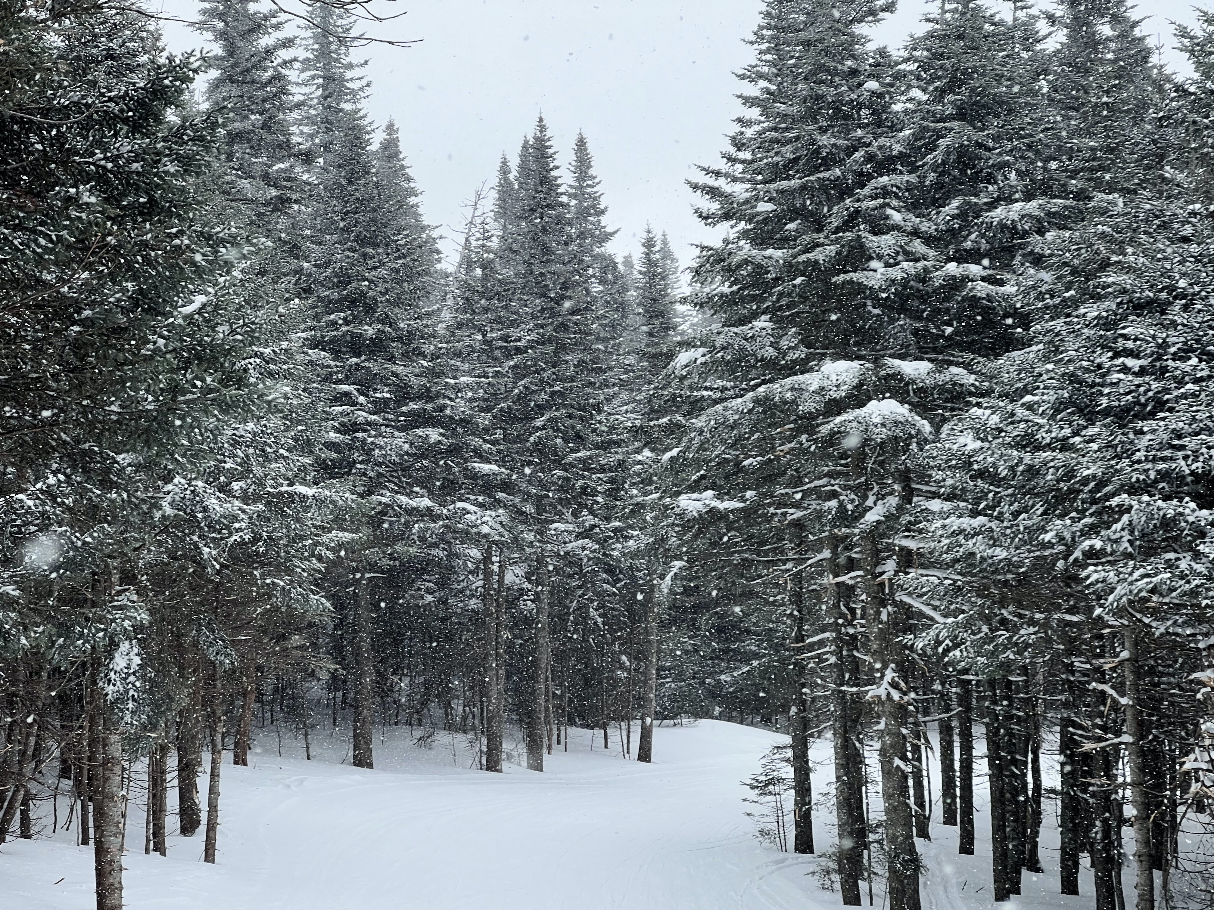
Campaign launched to protect nearly 1,500 square kilometres of boreal forest
News
Organization
The Nature Conservancy of Canada has recently launched the largest single private conservation project in Canadian history. The Boreal Wildlands Project aims to protect nearly 1,500 square kilometres...
Conservation Close to Home - Story Map
Resource
Conservation Assessment for Southern Canada The Nature Conservancy of Canada (NCC) has completed a comprehensive assessment of the conservation needs and opportunities in southern Canada. The first of...

Conservation through Co-occurrence: Woodland Caribou as a Focal Species for Boreal Biodiversity
Resource
Assessment of the focal/umbrella value of boreal caribou for conservation of mammalian and avian richness, based on evaluation of co-occurrence and conducting systematic conservation planning.

Natural Climate Solutions for Canada
Resource
Alongside the steep reductions needed in fossil fuel emissions, natural climate solutions (NCS) represent readily deployable options that can contribute to Canada’s goals for emission reductions. We...

Podcast - Shift talks Sacred Science with Alvin First Rider, Brett Purdy, and Emily Herdman
Resource
Alvin First Rider speaks about his nation's use western science alongside Indigenous Knowledge to bring buffalo back to their historical plains.

Providing Solutions Using Innovative Technologies
Resource
This presentation centred on the innovative tools and technologies utilized by Vieworx for planning and wetland management.

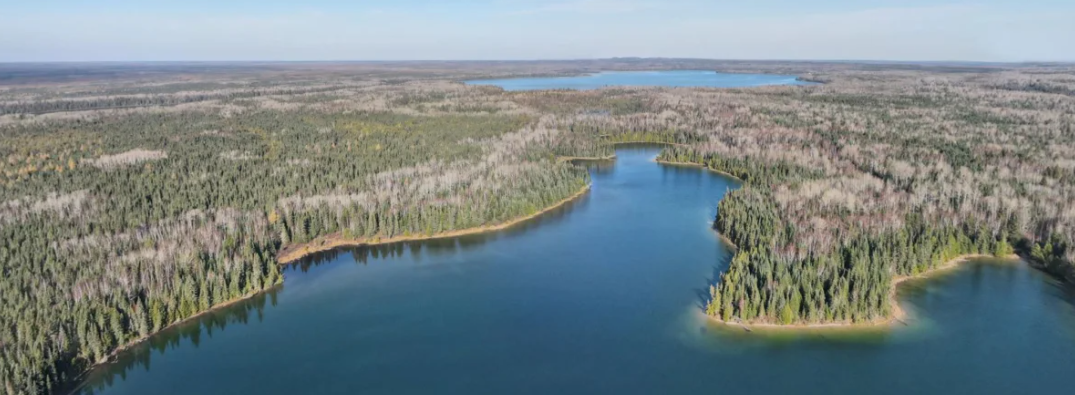
Swath of boreal forest twice the size of Toronto to be protected in northern Ontario
News
Organization
OTTAWA — The largest private land conservation project in Canadian history is unfolding in northern Ontario. The Nature Conservancy of Canada spent the last year negotiating the purchase of 1,450...
Video - Assessing Cumulative Ecological Effects: The Changing Management Landscape
Resource
Jim Schieck discusses how cumulative effects are currently being assessed in Alberta.

Video - Assessment of forest attributes using airborne and terrestrial LiDAR
Resource
This presentation discusses the different ways that LiDAR data can be effectively used in forestry management applications.

Video - Blood Tribe Buffalo Restoration Project
Resource
Members of the Káínawa – or Blood Tribe – are applying training in western science, alongside their Indigenous Knowledge, to bring buffalo back to their historical habitat in southern Alberta, the...

Video - Building a Sustainable Alberta Through Deployment of LiDAR Technologies: Reflections from an SRD perspective
Resource
Barry White discusses the ways LiDAR is being used by departments within the government of Alberta.

Video - Caribou Conservation Project
Resource
The Denesųłiné of Cold Lake First Nations (CLFN) are applying both their Indigenous Knowledge and expertise in western science to develop and implement diverse caribou conservation strategies in...

Video - Enhanced Fuel Mapping for Wildfire Management
Resource
This presentation discusses ways that LiDAR data can be used in forestry management, including for mapping mountain pine beetle infestations.

Video - Feature Extraction from Multisensor Airborne Data: Monitoring of large-scaled industrial activity on the natural landscape
Resource
This presentation discusses using airborne LiDAR data on monitoring projects with the federal and provincial government. Data collection and data extraction are reviewed.

Video - From Point Cloud to Supporting Decisions: Making use of your LiDAR data
Resource
This presentation discusses how to use LiDAR data, in particular for forestry, but also for other government and industry applications.

Video - High Resolution Inventories Using LiDAR: Challenges and opportunities
Resource
This presentation discuss a pilot project done with Spray Lakes Sawmill FMA related to doing plot inventories using LiDAR.
