
Search Results
Displaying:
81 - 100 of 228
Landscape Treatment Process Flowchart: Landscape
Resource
This flowchart outlines each step of the treatment process for forest land (upland) landscape as incorporated in the corresponding Decision Support Systems (DSS). View more tools by NAIT Centre for...
Landscape Treatment Process Flowchart: Soil
Resource
This flowchart outlines each step of the treatment process for forest land (upland) soil as incorporated in the corresponding Decision Support Systems (DSS). View more tools by NAIT Centre for Boreal...
Landscape Treatment Process Flowchart: Vegetation
Resource
This flowchart outlines each step of the treatment process for forest land (upland) vegetation as incorporated in the corresponding Decision Support Systems (DSS). View more tools by NAIT Centre for...

Large Stocks of Peatland Carbon and Nitrogen are Vulnerable to Permafrost Thaw
Resource
Northern peatlands have accumulated large stocks of organic carbon (C) and nitrogen (N), but their spatial distribution and vulnerability to climate warming remain uncertain. Here, we used machine...

Length of Cold Stratification Period Affects Germination in Green alder (Alnus viridis (Chaix) DC. subsp. crispa (Aiton) Turrill) Seed Collected from Northwestern Alberta
Resource
Abstract: Alnus viridis (Chaix) DC. subsp. crispa (Aiton) Turrill (Betulaceae), commonly known as green alder or mountain alder, is a boreal shrub used to revegetate disturbed lands because of its...

Leveraging Genomics Tools to Explore Relationships Between Agriculture, Biodiversity and Waterfowl Productivity in Prairie Wetlands
Resource
Environmental genomics is a research method that sequences DNA from samples collected from the environment (e.g. wetlands, water, soil, organisms, etc.). This method can accelerate species...

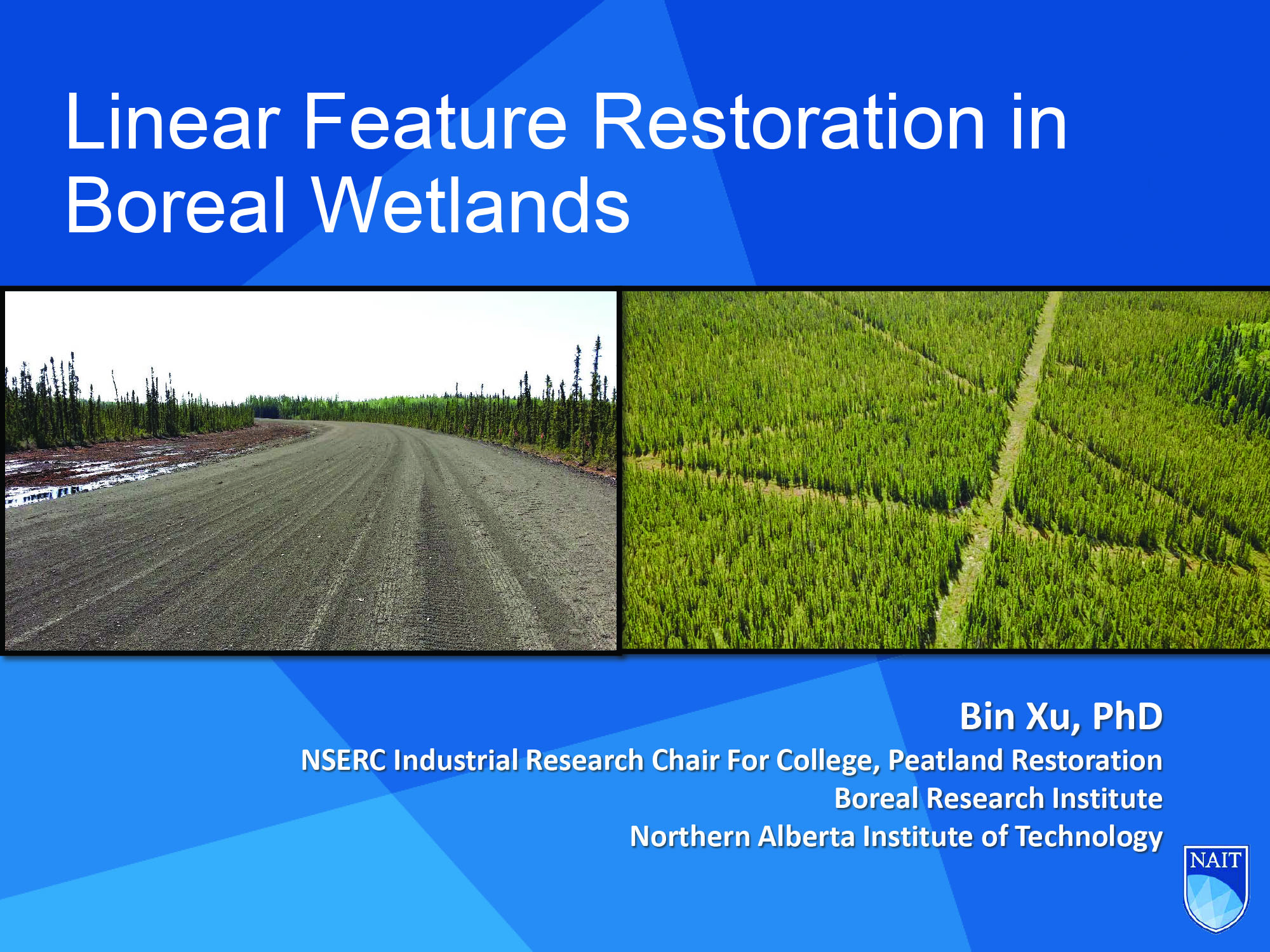
Linear Feature Restoration in Boreal Wetlands
Resource
This presentation discusses linear feature disturbances or boreal peatlands and reclamation trials of various sites. Presented at the NAIT 7th Seminar on Linear Disturbance Impacts on Boreal Wetland...
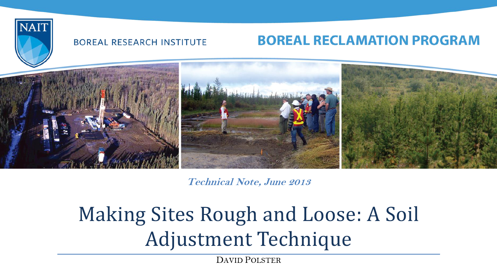
Making Sites Rough and Loose: A Soil Adjustment Technique
Resource
Rough and loose surface treatments provide an effective way to control erosion and create conditions that promote the revegetation of the site. By creating topographic heterogeneity the rough and...
Mapping Canadian Wetlands
Resource
This briefing note synthesizes knowledge from two resources on wetland mapping available on the Canadian and Conservation Land Management (CCLM) Knowledge Portal.

March 2021 Wetland Knowledge Exchange Webinar
Event
ONLINE,
Contact
Floods, carbon, ducks, and trails: Quantifying and communicating wetland ecosystem services in Atlantic Canada Presented by Emma Bocking, Ducks Unlimited Canada Rapid functional assessment tools like...

March 2023 Wetland Knowledge Exchange Webinar
Event
Contact
How mounds are made matters: implications for seismic line restoration in peatlands Presenter: Kimberly Kleinke, University of Waterloo The boreal forest of western Canada is fragmented by seismic...
Mesocosm Test Facility: A Bridge Between Lab and Field Studies
Resource
This infographic by the CCLM discusses mesocosms and the InnoTech Alberta Mesocosm Facility in Vegreville, Alberta.

Mineral Nitrogen and Phosphorus Pools Affected by Water Table Lowering and Warming in a Boreal Forested Peatland
Resource
This resource is available on an external database and may require a paid subscription to access it. It is included on the CCLM to support our goal of capturing and sharing the breadth of all...

Modeled Production, Oxidation, and Transport Processes of Wetland Methane Emissions in Temperate, Boreal, and Arctic Regions
Resource
This resource is available on an external database and may require a paid subscription to access it. It is included on the CCLM to support our goal of capturing and sharing the breadth of all...
Monitoring Environmental Impacts Through Remote Sensing
Event
Event Date and Time
February 17th, 2022 at 1:00pm MST to February 17th, 2022 at 2:30pm MST
The past 5 years have seen a revolution in both the availability and processing of remote sensing data to inform on environmental impacts. These advances are due to innovations in remote sensing...

Monitoring environmental impacts through remote sensing
Event
Event Date and Time
February 17th, 2022 at 3:00pm EST to February 17th, 2022 at 4:30pm EST
The past 5 years have seen a revolution in both the availability and processing of remote sensing data to inform on environmental impacts. These advances are due to innovations in remote sensing...
