
Search Results
Displaying:
1 - 10 of 10
A Long Time Ago in the Future: Caribou and The People of Ungava: Ungava Peninsula Caribou Aboriginal Round Table
Resource
The Indigenous Peoples of Ungava self-organized into the Ungava Peninsula Caribou Aboriginal Round Table (“UPCART” or “the Round Table”) in early 2013. For the first time in human history the Peoples...

Canadian Wetland Inventory using Google Earth Engine: The First Map and Preliminary Results
Resource
Although wetlands provide valuable services to humans and the environment and cover a large portion of Canada, there is currently no Canada-wide wetland inventory based on the specifications defined...

For Peat's Sake Celebrates World Peatlands Day with Edward Struzik
Event
Event Date and Time
June 2nd, 2022 at 7:00pm MST to June 2nd, 2022 at 8:00pm MST
Organization
Live from the Scotty Creek Research Station in the Northwest Territories, celebrating World Peatland Day. For Peat's Sake is a podcast run by PhD student Becca Frei, who explores the wonders of...

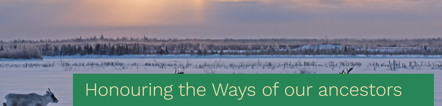
Honouring the ways of our ancestors, the Cree and Innu Nations sign a traditional understanding built from the customary values of sharing, sustainable harvest and respect for the caribou
News
Organization
The Maamuu nisituhtimuwin/ Matinueu-mashinaikan atik u e uauinakanit establishes mutually agreed upon terms by which Innu communities in Québec will be able to access caribou within the Cree...
Human-induced Behavioural Changes of Global Threatened Terrestrial Mammals
Resource
Abstract Aim: Understanding changes in the behaviour of threatened species responding to rapidly increasing human disturbances is critical for biodiversity conservation. Here, we synthesize a meta...

Recent Climate Change has Driven Divergent Hydrological Shifts in High-latitude Peatlands
Resource
High-latitude peatlands are changing rapidly in response to climate change, including permafrost thaw. Here, we reconstruct hydrological conditions since the seventeenth century using testate amoeba...

The Third Generation of Pan-Canadian Wetland Map at 10 m Resolution Using Multisource Earth Observation Data on Cloud Computing Platform
Resource
Development of the Canadian Wetland Inventory Map (CWIM) has thus far proceeded over two generations, reporting the extent and location of bog, fen, swamp, marsh, and water wetlands across the country...