Wetland Knowledge Resources
Resource
Author(s)
Jonathan Price
Owen Sutton
Colin McCarter
William Quinton
James Waddington
Pete Whittington
Maria Strack
Richard Petrone
Resource Date:
November
2023
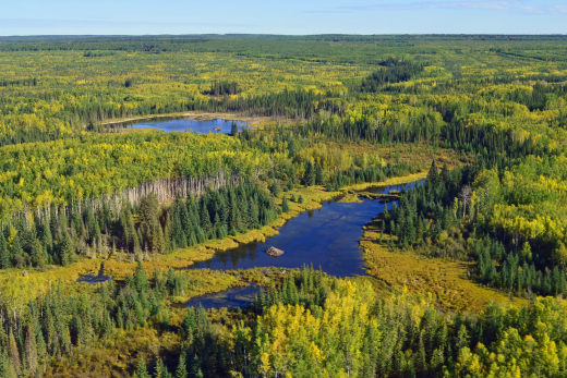
Wetlands are an integral part of the Canadian landscape, providing crucial ecohydrological services with globally significant benefits. Over the past 75 years, Canadian scientists have emerged as...
Resource
Author(s)
Wendy MacKeigan
Alex Mifflin
Tyler Mifflin
Samantha Blake
Jacob Thompson
Nick Koro
Resource Date:
November
2023
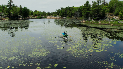
Wetlands are the most diverse and ecologically important ecosystems in Ontario. They help purify water, control floods, reduce erosion and fight climate change. They provide critical habitat for...
Resource
Author(s)
Wendy MacKeigan
Alex Mifflin
Tyler Mifflin
Samantha Blake
Jacob Thompson
Nick Koro
Resource Date:
November
2023
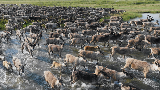
Canada's Boreal Forest is the largest intact terrestrial, ecosystem remaining on Earth. It is an irreplaceable stronghold of nature that benefits every corner of the planet, whether through its...
Resource
Resource Date:
November
2023
The Wetland Knowledge Exchange releases monthly newsletters that highlight new research, publications, news, interesting facts, events and more. In this edition you will learn about: The Arctic...
Resource
Author(s)
Ting Sun
Brian Branfireun
Abstract Plant foliage plays an essential role in accumulating mercury (Hg) from the atmosphere and transferring it to soils in terrestrial ecosystems, and many studies have focused on forested...
Resource
Author(s)
GRID-Arendal
Levi Westerveld
Tiina Kurvits
T. Schoolmeester
Oda Mulelid
Torjus Eckhoff
Pier Overduin
Michael Fritz
Hugues Lantuit
Björn Alfthan
A. Sinisalo
Frederieke Miesner
L.-K. Viitanen
NUNATARYUK Consortium
Resource Date:
October
2023
This atlas is an attempt to translate and consolidate the available knowledge on permafrost. It is a timely book suffused with the compelling enthusiasm of its authors and contributors. Close to a...
Resource
Author(s)
Tricia Stadnyk
John Gibson
Francisco Castrillon
Bernhard Mayer
The impacts of climate change can be clearly seen in our water resources. In Alberta, water quality is changing, and water supply is more variable and increasingly uncertain due to extreme weather...
Resource
Author(s)
Sarah Wilkinson
Anne Naeth
Amalesh Dhar
Nature-based, low technology wastewater treatment systems can benefit small and remote communities. Adding a constructed floating wetland (CFW) to waste stabilization ponds can enhance treatment...
Resource
Author(s)
Lorna Harris
David Olefeldt
Nicolas Pelletier
Christian Blodau
Klaus-Holger Knorr
Julie Talbot
Liam Heffernan
Merritt Turetsky
Resource Date:
August
2023
Rapid, ongoing permafrost thaw of peatlands in the discontinuous permafrost zone is exposing a globally significant store of soil carbon (C) to microbial processes. Mineralization and release of this...
Resource
Author(s)
Masahito Ueyama
Sara Knox
Kyle Delwiche
Sheel Bansal
William Riley
Dennis Baldocchi
Takashi Hirano
Gavin McNicol
Karina Schafer
Lisamarie Windham-Myers
Benjamin Poulter
Robert Jackson
Kuang-Yu Chang
Jiquen Chen
Housen Chu
Ankur Desai
Sébastien Gogo
Hiroki Iwata
Minseok Kang
Ivan Mammarella
Matthias Peichl
Oliver Sonnentag
Eeva‐Stiina Tuittila
Youngryel Ryu
Eugenie Euskirchen
Mathias Göckede
Adrien Jacotot
Mats Nilsson
Torsten Sachs
Resource Date:
January
2023
This resource is available on an external database and may require a paid subscription to access it. It is included on the CCLM to support our goal of capturing and sharing the breadth of all...