Wetland Knowledge Resources
Resource
Author(s)
GRID-Arendal
Levi Westerveld
Tiina Kurvits
T. Schoolmeester
Oda Mulelid
Torjus Eckhoff
Pier Overduin
Michael Fritz
Hugues Lantuit
Björn Alfthan
A. Sinisalo
Frederieke Miesner
L.-K. Viitanen
NUNATARYUK Consortium
Resource Date:
October
2023
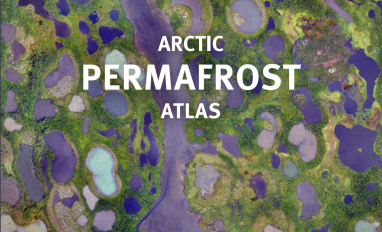
This atlas is an attempt to translate and consolidate the available knowledge on permafrost. It is a timely book suffused with the compelling enthusiasm of its authors and contributors. Close to a...
Resource
Author(s)
Tricia Stadnyk
John Gibson
Francisco Castrillon
Bernhard Mayer
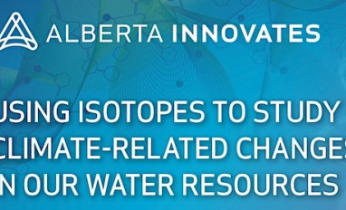
The impacts of climate change can be clearly seen in our water resources. In Alberta, water quality is changing, and water supply is more variable and increasingly uncertain due to extreme weather...
Resource
Author(s)
Sarah Wilkinson
Anne Naeth
Amalesh Dhar
Nature-based, low technology wastewater treatment systems can benefit small and remote communities. Adding a constructed floating wetland (CFW) to waste stabilization ponds can enhance treatment...
Resource
Author(s)
Lorna Harris
David Olefeldt
Nicolas Pelletier
Christian Blodau
Klaus-Holger Knorr
Julie Talbot
Liam Heffernan
Merritt Turetsky
Resource Date:
August
2023
Rapid, ongoing permafrost thaw of peatlands in the discontinuous permafrost zone is exposing a globally significant store of soil carbon (C) to microbial processes. Mineralization and release of this...
Resource
Author(s)
Masahito Ueyama
Sara Knox
Kyle Delwiche
Sheel Bansal
William Riley
Dennis Baldocchi
Takashi Hirano
Gavin McNicol
Karina Schafer
Lisamarie Windham-Myers
Benjamin Poulter
Robert Jackson
Kuang-Yu Chang
Jiquen Chen
Housen Chu
Ankur Desai
Sébastien Gogo
Hiroki Iwata
Minseok Kang
Ivan Mammarella
Matthias Peichl
Oliver Sonnentag
Eeva‐Stiina Tuittila
Youngryel Ryu
Eugenie Euskirchen
Mathias Göckede
Adrien Jacotot
Mats Nilsson
Torsten Sachs
Resource Date:
January
2023
This resource is available on an external database and may require a paid subscription to access it. It is included on the CCLM to support our goal of capturing and sharing the breadth of all...
Resource
Author(s)
Xiaoyu Li
Julie Talbot
James King
Meng Wang
Resource Date:
October
2023
Dust deposition can fertilize nutrient-limited peatlands and affect their plant assemblages and ecosystem functions, but the effects of local road dust on peatlands have seldom been studied. Here, we...
Resource
Author(s)
Teemu Juselius-Rajamäki
Minna Väliranta
Atte Korhola
Resource Date:
October
2023
Peatlands are the most dense terrestrial carbon stock and since the last glacial epoch northern peatlands have accumulated between 400 and 1000 Gt of carbon. Although the horizontal development...
Resource
The Wetland Knowledge Exchange releases monthly newsletters that highlight new research, publications, news, events and more. In this edition you will learn about: Peatland Atlas: A global look at...
Resource
Author(s)
Jessica Allan
Mélina Guêné-Nanchen
Line Rochefort
David Douglas
Jan Axmacher
Resource Date:
October
2023
Abstract The provision of critical ecosystem services like carbon sequestration by peatlands has been degraded around the globe. Peatland restoration represents an opportunity to tackle the twin...
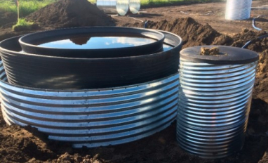
Resource
An aquatic mesocosm facility consisting of thirty 15,000 L tanks was constructed in Vegreville, Alberta to support environmental research.